Chagres River

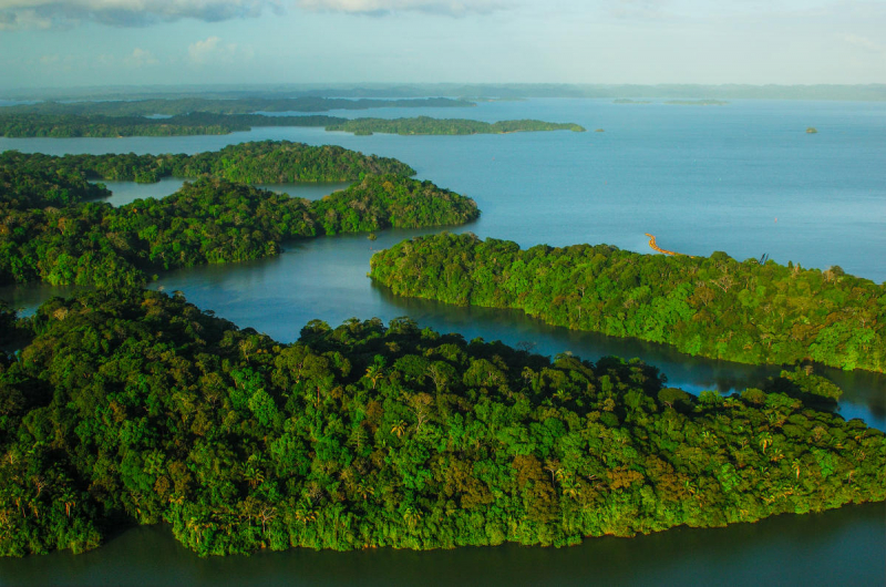
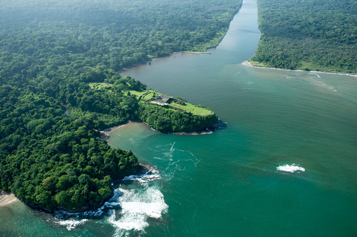
Chagres ranks 2nd on the list of the longest rivers in Panama. The Chagres River, in central Panama, is the largest river in the Panama Canal's watershed. The river is dammed twice, and the two lakes that result—Gatun Lake and Lake Alajuela—are critical to the canal's and water system's operation. The river's normal path is northwest to its mouth in the Caribbean Sea, but its waters flow south through the canal's locks into the Gulf of Panama. As a result, the Chagres are unique in that they drain into two different oceans.
The upper Chagres River, its watershed, and the watersheds of several tributaries are all part of the Chagres National Park, which was formed in 1985 to safeguard the environment and water flow into the canal. Because these rivers provide 45 percent of the canal's total water, the lake is an important portion of the canal zone's watershed. The lake, which reaches a maximum elevation of 76 meters (250 feet) above sea level, can hold one-third of the canal's yearly water requirements for the locks' functioning. Because Lake Alajuela is not on the navigational route, it has fewer water level limitations than Gatun Lake. The reservoir's water is also utilized to create hydroelectric power and provide fresh water to Panama City.
Length: 193 km


