Creating Smart Maps with Python and Leaflet Windows Version


This course ranks 5th in the top best online Mapping courses. Using a number of open source tools, this course will create a python GIS application from the ground up. The goal of this and subsequent courses is to teach you how to develop geospatial analytics and turn them into usable applications.
This course will be dealing with home water usage data in their use case, and this course will be using data processing techniques to extract, convert, and load the information into their spatial database. This course will utilize the data as a data source for their GeoDjango Web Map Application once it have processed and cleaned it.
Our application will be powered by a PostgreSQL and PostGIS database.It'll utilize Bootstrap, JavaScript, Leaflet, and Ajax in the front-end. For data transformation and conversion activities on the server, this course will utilize Python and Django, as well as scientific libraries like pandas. Windows 10 and Server 2016 will be the operating systems on which it will be working.
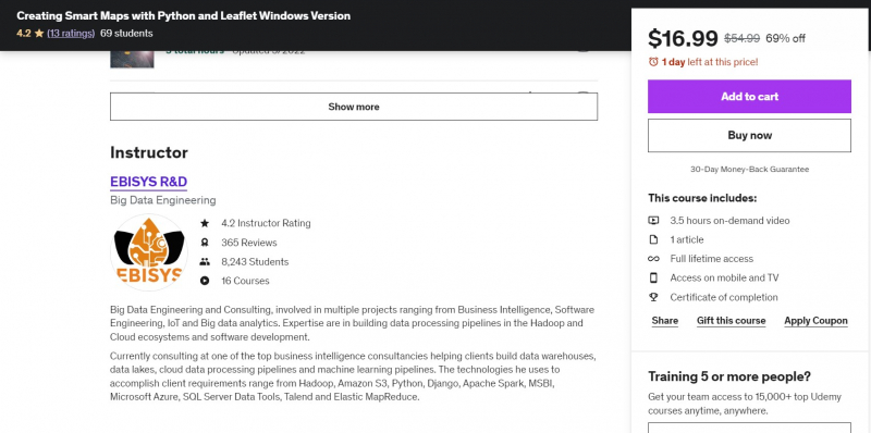
This course includes:
- 3.5 hours on-demand video
- 1 article
- Full lifetime access
- Access on mobile and TV
- Certificate of completion
Instructor: EBISYS R&D
Cost: $54.99
Rate: 4.2/5
Enroll here: https://www.udemy.com/course/creating-smart-maps-with-python-and-leaflet-windows-version/