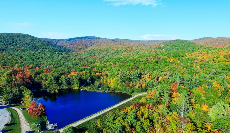
Enjoy Green Mountain National Forest


The massive National Forest of Vermont is divided into two parts by the mountain range that runs through the middle of the state, making it difficult to travel from east to west. Nearly all of the routes that traverse these mountains pass through gaps, which are better for admiring the landscape than for winter travel. Some of these roads are even completely closed throughout the winter. For the remainder of the year, use them to find waterfalls, campgrounds in national forests, picturesque spots for picnics, hiking routes, and a world of nature. The Long Trail traverses the mountain range the entire length of the state, from the Canadian to the Massachusetts border. The Appalachian Trail passes through the southern portion of the National Forest.
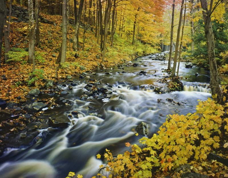
The "Skiers' Highway," also known as Route 100, connects many of Vermont's ski resorts, from Mount Snow to Stowe and Jay Peak, as it winds its way north through the mountains. Route 73 travels over Brandon Gap, Route 125 goes over Middlebury Gap (passing Texas Falls), and Route 17 ascends Appalachian Gap, the highest pass that is open in the winter at 2,356 feet. Route 9 travels through the Green Mountains in the south.
Location: 231 N Main St, Rutland, VT 05701
Website: https://www.fs.usda.gov/gmfl
Phone: +1 802-747-6700
Google rating: 4.7/5.0