Georgetown’s Plantation Structure and Historic Buildings
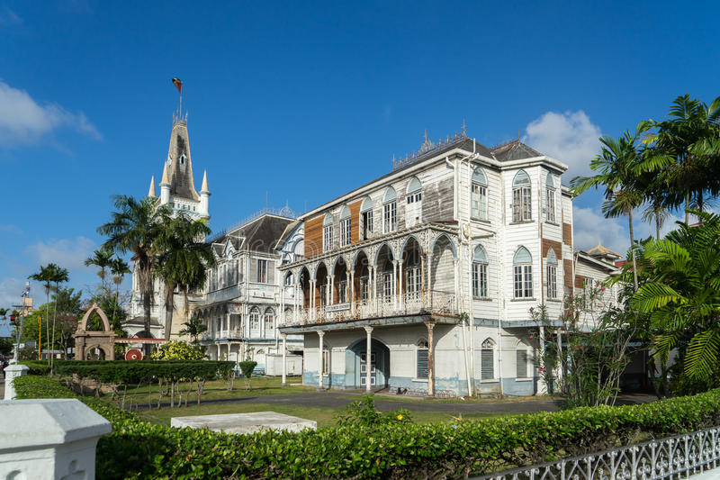
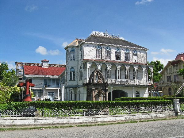
The buildings were submitted in 2005 and are designated on 18th-century Dutch maps as culturally significant. They include the Kingston and Fort William Frederick military sites, the Cummings Canal, the Croal Street Canal, and the Cummingsburg and Laeytown plantations. This particular neighborhood was known as the Dutch Stabroek or public buildings.
The 'Road to Stabroek' mentioned on 18th-century Dutch city maps, a "dam street" linking the military grounds of Kingston and Fort William Frederick (an Anglicisation of Willem Frederik, a Dutch Stadtholder) with the plantations of Cummingsburg and Laeytown, to Stabroek, can be considered the backbone of Historic Georgetown. The Dutch set aside a strip of land called Stabroek for public purposes and key structures. The unique townscape and mood of Georgetown, as well as the greatest examples of 19th-century colonial architecture, may be found on these streets.
The former plantation grounds' structure, marked by perpendicular river canals and a connecting dam street, can still be seen in the urban layout. The Cummings Canal and the canal on Croal Street are historic relics, while the canals on Church Street and Hadfield Street were filled in the early twentieth century to make room for more development. The historic plantations of Cummingsburg and Laeytown were transformed into urban areas by a checkerboard layout of orthogonal roadways.
Location: Georgetown, Guyana


