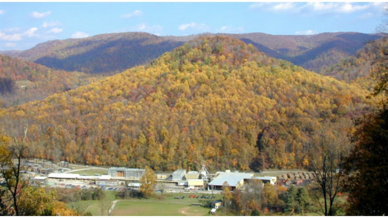
Hamer Hill

Hamer Hill is a Mississippi hill with a height of 214 meters. Hamer Hill is next to Mercy Temple and close to Hamer Cemetery. Hamer Hill is a hill in the United States' Piedmont-Southeast Coast region. The prominence is 51 meters (167 feet).
Hamer Hill is ranked # 13 out of 265 in Mississippi and #1 out of 10 in Benton County in terms of elevation. Hamer Hill is ranked # 21 out of 265 in Mississippi and #1 out of 10 in Benton County in terms of significance.
Hamer Hill is located in Benton County, Mississippi, and is part of the Summits category. The USGS topo map quad "Ashland" depicts Hamer Hill. Anyone interested in visiting Hamer Hill can use the link above to print a free topographic map and additional maps. The map layers above show the location, terrain, and surrounding roads & trails around Hamer Hill (Summit). Hamer Hill's latitude and longitude coordinates (GPS waypoint) are 34.8581533 (North), -89.2394523 (West), and its height is approximately 712 feet above sea level. If you've been to Hamer Hill before, please share your thoughts in the comments section below.
Elevation: 214 m


