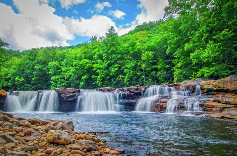
High Falls of the Cheat
Located at a height of more than 2,800 feet above sea level, High Falls of the Cheat is one of the most stunning and tallest waterfalls in the Monongahela National Forest in eastern West Virginia. High Falls of the Cheat roared fiercely from the mountainside, plunging down a 150-foot-wide 18-foot-tall horseshoe bend and into a lake of crystal water before plunging down the mountain to form the serene and leisurely Cheat River.
Because of such a height, for many years, people could only access the High Falls by trail. The path, built and maintained by the United States Forest Service, climbs through old-growth forests and towering hemlock groves, winding through the saddle on Mount Shavers. This is a beautiful hike in the backcountry of Monongahela National Forest that many people do not know about.
There are multiple entrances to the High Falls of Cheat trail leading the falls. One of them is walking along the West Fork Rail Trail in Glady, West Virginia, or another trailhead located just 4 miles south of Glady, on Forest Road 44. On most trails, the hike is about 7 miles long. Therefore, this is considered a great route for backpacking and overnight camping by rushing waterfalls.
In short, High Falls of Cheat:
- Located at a height of more than 2,800 feet above sea level in the Monongahela National Forest in eastern West Virginia.
- Features a horseshoe shape over 150 feet wide and drops 18 feet into a large lake below.
- There are multiple entrances to the High Falls of Cheat trail leading the falls.


