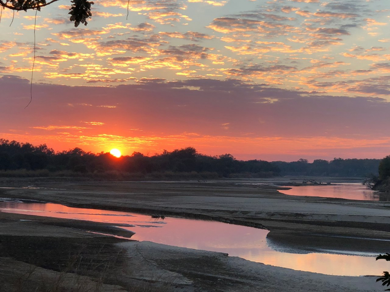
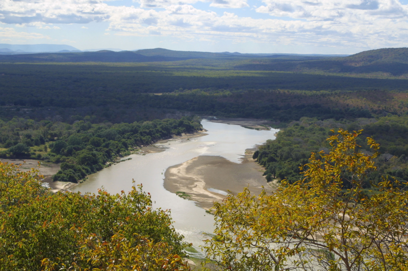
Luangwa river

The Luangwa Valley is one of Africa's most important wildlife sanctuaries, having world-renowned concentrations and diversity of game and fauna. With herds of antelope sheltering under thorn trees or wandering the plains, predators lurking in the shadows, and primeval drama in every valley, this is the panorama of the 'Real Africa.'The 'Valley' is located at the end of the Great Rift Valley, a geological rift that stretches from the Red Sea to East Africa's coast. This explains East Africa's stunning escarpment beauty as well as the African Lakes.
When the Rift reaches Zambia, it splits into two arms: one to the east contains Lake Malawi, while the other to the west becomes the Luangwa Valley, which runs over 700 kilometers and has an average width of roughly 100 kilometers.
The Muchinga Mountain range marks the western boundary of both the Valley and the parks. A comparable, though less well defined, escarpment can be found to the east. The valley floor is nearly a thousand meters lower than the plateau above it.
The Luangwa River runs through the valley's heart, fed by dozens of sand rivers that wash down during the wet season. When in flood, the Luangwa carves a complex path down the floor, eroding the outer bends and depositing silt within the loops. The river eventually takes a new path, allowing the old one to silt up and generate 'ox bow' lagoons. These lagoons are vital to the riverine zone's ecology and contribute to the area's high carrying capacity.
The environment is breathtaking in its rugged grandeur, with thick vegetation and a beautiful riverine forest that is green all year near the Luangwa River and its many tributaries. The North and South Luangwa National Parks flank the river's western banks, divided by the 30km Munyamadzi corridor. Between the two main parks, to the east, lies another small and underdeveloped park called Luambe. The Lukusuzi National Park, located east of the floodplain on the rocky uplands, is also undeveloped, but plans are in the works.
Length: 770 Km


