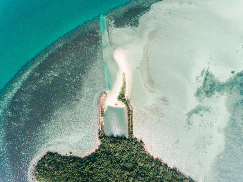
Mururoa

On Google Earth, you can travel around French Polynesia and come to the little island of Mururoa. It is around 780 miles from Tahiti, and France tested nuclear weapons there for 30 years. France was not totally honest about the fact that up to 110,000 residents of adjacent islands and atolls were exposed to fallout from those same tests.
Although though the island has a reputation for being deadly, it nevertheless has an airfield, making it technically accessible to anyone with a keen interest in radioactive islands. But, your chances are slimmer if you wish to observe it from a distance. For whatever reason, just half of the island can be seen on Google Earth. The entire right side of the island is hidden by a blur filter in the way the image has been displayed. Because of the island's left half's low resolution, only the clouds can be seen.
It appears like French soldiers are present to guard the area. Since the location is still a functioning military outpost, the French government may have asked to have it removed from the map.