Pico Bonito


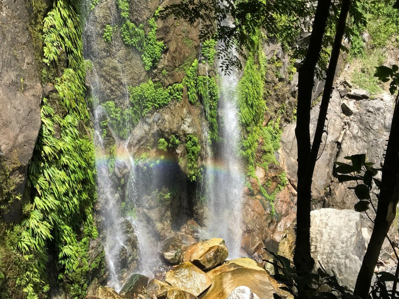
Pico Bonito is a peak in the municipality of El Porvenir, near the seaside city of La Ceiba in Honduras. It is located inside the Mesoamerican Biological Corridor. The Pico Bonito National Park Foundation (FUPNAPIB), a non-profit non-governmental organization founded as a legal body in 1993 by National Congress Law 192-93, is in charge of managing this protected territory. There is now a co-management agreement in place between the State Forest Administration (AFE-COHDEFOR) and FUPNAPIB, which formalizes the latter organization's work. This region is particularly popular for birding, rafting, kayaking, and hiking, and several tour companies provide transportation, excursions, and hotels.
The territory of the park ranges from a few meters above sea level to 2480 m, therefore, Pico Bonito is located in several natural areas, which vary depending on the altitude. The Aguan Valley is overgrown with a humid tropical forest, montane forest (called cloud) grows taller, and on the other side of the park, trees and shrubs typical of dry forests grow. grow in a drier area.
Height: 2450 m
Location: Pico Bonito, Honduras