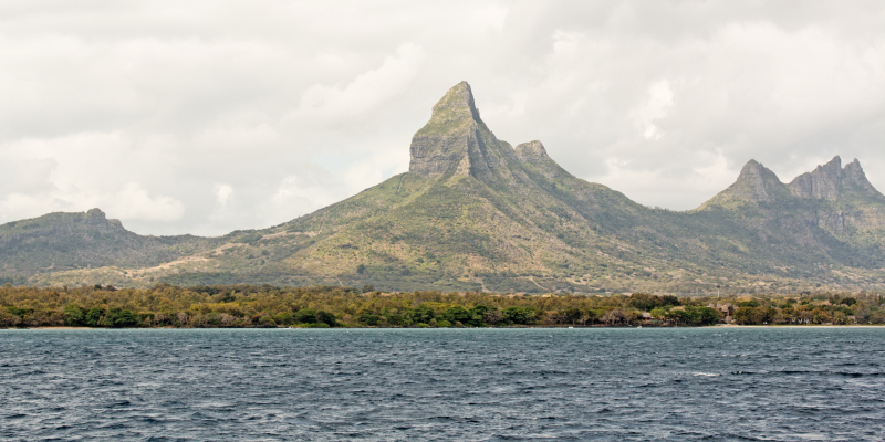
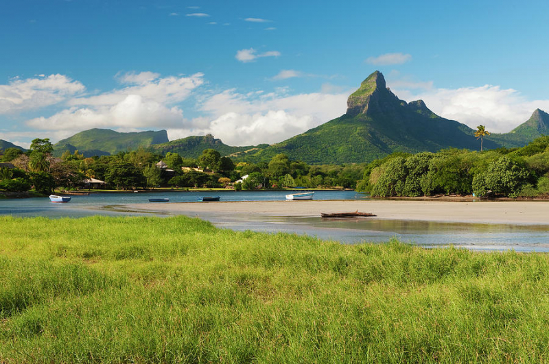
Rivière du Rempart (West)


Rivière du Rempart is a district of Mauritius that has an area of 147.6 km2 and is located in the northeast of the island. As of December 31, 2015, the population was estimated to be 108,005. The Rivière du Rempart District is separated into many regions; however, some areas are further subdivided into various suburbs. The Rivière du Rempart is a river in the northeastern part of Mauritius. It is the outflow from La Nicolière, a lake in Mauritius' central north, and runs northeast to the Indian Ocean north of Poste de Flacq.
There are several water sports available in the Riviere Du Rempart region, including scuba diving and snorkeling. If you're feeling adventurous, you may even try skydiving. A boat ride to Pointe Bernache Island or a drive to the Church of Notre-Dame Auxiliatrice in Cap Malhereuex is also options. This location was significant in the island's history since it was here that the British troops overcame the French in 1810.
Length: 15.13 km