Snake River Canyon

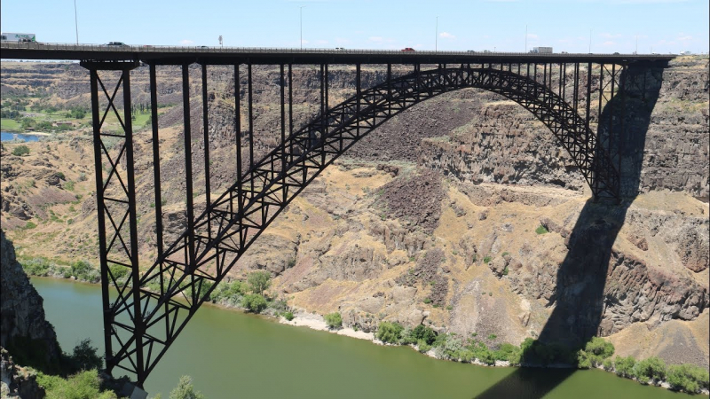
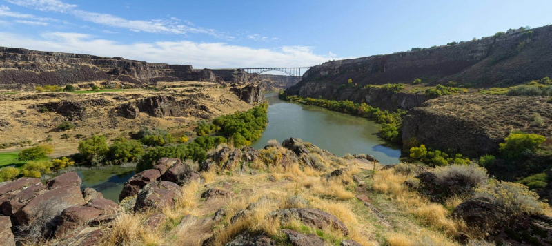
In the Magic Valley area of southern Idaho, the Snake River carved out a canyon that serves as a portion of the border between Twin Falls County to the south and Jerome County to the north. The canyon is little over 50 miles long, up to 500 feet (150 meters) deep, and 0.25 miles (0.4 kilometers) broad.
The Perrine Bridge spans the canyon just to the north of Twin Falls. Along the canyon, Shoshone Falls is situated about 5 miles (8 km) east of Perrine Bridge. More than 50 miles of the canyon extend south of Boise into Glenns Ferry.
The first prosperous agricultural businesses in the Magic Valley were established on the Snake River Canyon floor by I. B. Perrine and others in the late 19th century. After irrigation developments made agriculture feasible in the nearby areas in the early 20th century, the canyon's usefulness as a farming location decreased. The canyon bottom is now a popular tourist destination with a number of parks and golf courses.
Google rating: 4.9/5.0
Location: North Central Idaho, US
Phone: (208) 278-3105
Website: https://visitsouthidaho.com/adventure/snake-river-canyon/


