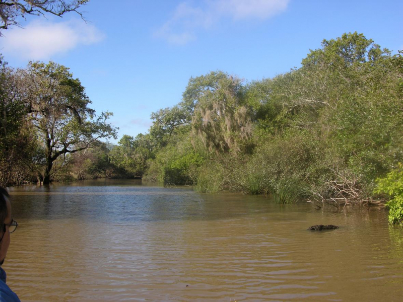
Tebicuary River

At 23o30' south latitude, the Tebicuary River flows for 235 kilometers (146 miles). Such rivers once functioned as a link between the eembuc region and the interior lands inside the old Jesuit missions. Smaller vessels joined the river to deliver supplies from Argentina, particularly from Corrientes.
They arrived in Santa Maria Passage, which is now Villa Florida, and formed significant commercial companies. These businesses were in the business of selling their wares to a wide range of customers. On their way back to Pilar, these boats brought cotton and firewood. It runs eastwards from the southwestern portion of the nation, flowing into the Paraguay River around 45 kilometers south of Formosa and 30 kilometers north of Pilar.
The San Rafael National Park is located in the upper basin of the river. The land near Villarrica lends itself to cotton and rice agriculture, as well as serving as natural pastures for cattle.
Ranching is also performed in the marshes, and skins are processed at Villarrica's tanneries or other small communities along the river, such as Borja, Iturbe, and Villa Florida. After emptying the Lago Venturoso marshes, the Tebicuary River meets the Paraguay River 9 kilometers north of Pilar. This is considered one of the longest rivers in Paraguay.
Length: 482 km


