The Brecon Beacons National Park
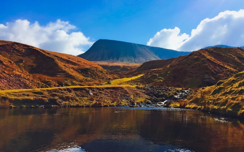
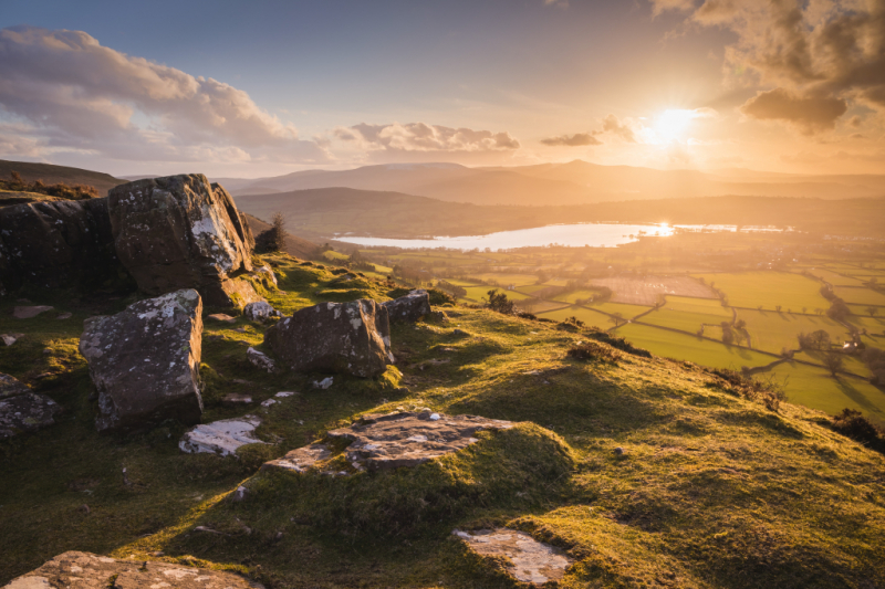
The Brecon Beacons National Park is one of three national parks in Wales, located in southern Wales and centered on the Brecon Beacons range of hills. It contains the Black Mountains (Welsh: Y Mynydd Du or Mynyddoedd Duon) in the west, Fforest Fawr and the Brecon Beacons in the center, and the Black Mountains (Welsh: Y Mynydd Du or Mynyddoedd Duon) in the east.
The Brecon Beacons National Park was formed in 1957, the third and last Welsh national park, following Snowdonia in 1951 and the Pembrokeshire Coast in 1952. It stretches from Llandeilo in the west to Hay-on-Wye in the northeast and Pontypool in the southeast, covering 519 square miles (1,340 km2) and encompassing four main regions - the Black Mountain in the west at Fan Brycheiniog, Fforest Fawr and the Brecon Beacons in the center. The western half was designated a European and global geopark in 2005 as Fforest Fawr. This encompasses the Black Mountain, Fforest Fawr's ancient extent, and much of the Brecon Beacons and nearby lowlands.
Walking, cycling, mountain biking, and horseback riding are among the outdoor activities available in the park, as are sailing, windsurfing, canoeing and fishing, rock climbing, hang-gliding, caravanning, camping, and caving. The Taff Trail, a long-distance cycling route connecting Brecon and Cardiff, travels through the Beacons, and the first walk across the entire length of the Brecon Beacons National Park began in 2005. The Beacons Way is a 99-mile (159-kilometer) path that begins in Abergavenny and ends in Llangadog, Carmarthenshire, via The Skirrid (Ysgyryd Fawr).
Location: in southern Wales


