The Maya Engineered Remarkably Strait Elevated Roads Or Causeways
The first Maya cities appeared approximately 750 BC, and their biggest cities during the Classic Period (250-900 AD) had populations ranging from 50,000 to 120,000 people. All Maya cities had vast plazas in the center, as well as their most valuable political and religious structures, such as the royal acropolis and great pyramid temples.
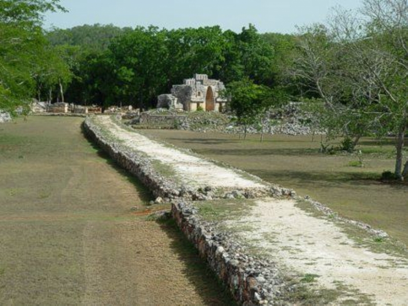
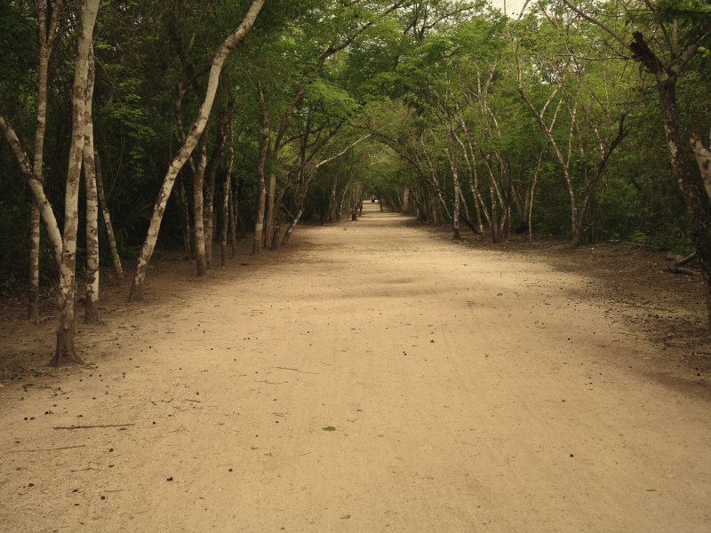
Elevated limestone roadways known as sacbeob (singular sacbe) or "white roads" were one of the most distinctive aspects of Maya towns. Sacbeob, despite the harsh terrain, was built to withstand the forces of nature and often plotted a course in surprisingly flawless strait lines. The most well-known sacbe network can be found at Coba, a Maya city. It has roadways that range in width from 10 to 30 feet wide and are elevated from 1.5 to 8 feet above the forest floor. The longest known Maya sacbe connects the ancient cities of Coba and Yaxuna and runs 60 miles (97 kilometers). This strait-as-an-arrow road is regarded as a remarkable engineering achievement.
The Mayan word sacbe (sometimes spelled zac be and pluralized as sacbeob or zac beob) refers to the linear architectural features that connect settlements all over the Maya realm. Roads, walkways, causeways, property lines, and dikes were all used by Sacbeob. The Maya used the name sacbe to indicate "stone road" or "white road," but it was evident that sacbeob had additional meanings for them, such as mythological routes, pilgrimage routes, and literal marks of political or symbolic linkages between city centers. Some sacbeob are mythological subterranean routes, while others trace celestial pathways; evidence for these highways can be found in Maya mythology and colonial archives.


