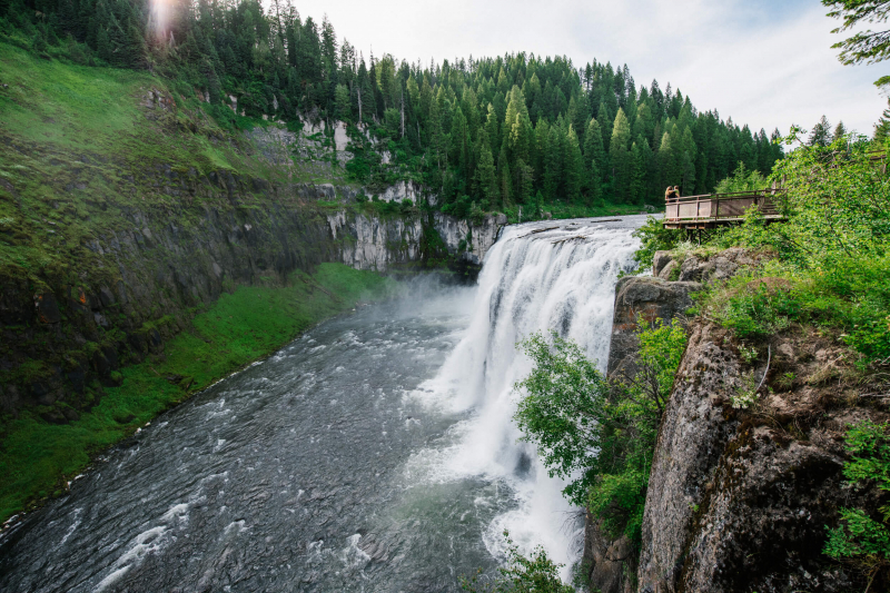
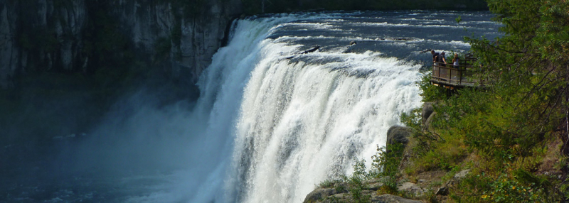
Upper Mesa Falls

Upper Mesa Falls is situated on the Henrys Fork of the Caribou-Targhee National Forest. It is around 16 miles (26 km) upstream from Lower Mesa Falls to Ashton, Idaho. Upper Mesa Falls cascades over Mesa Falls Tuff, a rock that was created 1.3 million years ago. A substantial layer of rock and ash was spread throughout the region by a cycle of rhyolitic volcanism from the Henrys Fork caldera. Over time, this layer shrank and became harder.
A large canyon that was excavated by the river between 200,000 and 600,000 years ago was later partially filled with basalt lava flows. The inner canyon that may be seen today was then cut out of the basalt by the Henrys Fork of the Snake River.
Before making the short trip to the viewing platform that offers breathtaking views of the nearby forest and falls, stop at the visitor center for a geology and history education of the area. The Mesa Nature Trail, which leads to Lower Mesa Falls, is available in the upper parking lot just past the visitor center if you're in the mood for some additional exercise.
Location: Ashton, Idaho