Agulla de Baiau


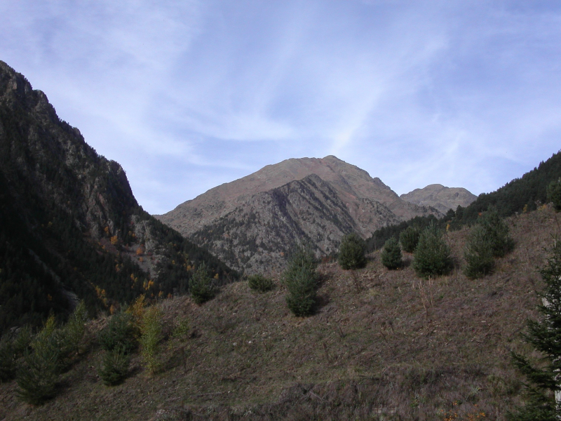
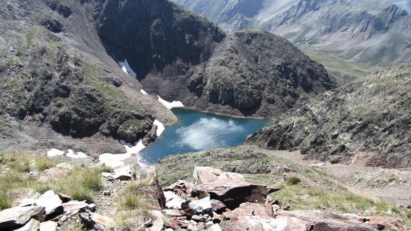
The Agulla de Baiau is a peak on the Andorran-Spanish boundary that rises to 2,860 or 2,863 meters between the parish of La Massana and Catalonia. Between the Pic de Sanfonts (2,889 m) to the south and the Pic de Baiau (2,885 m) to the north, the Agulla de Baiau lies on the boundary between Andorra and Spain. On the Andorran side, it overlooks the Estany Negre, while on the Spanish side, it overlooks the estanys of Baiau.
Baiau's agulla is part of the Pyrenees' primary axial chain, which was produced by Paleozoic rocks. The majority of the rocks of the Natural Park of the Coma Pedrosa Valleys are Cambrian and Ordovician in age, as they are throughout North-West Andorra. With shale in the foreground, they are fundamentally metamorphic in character.
The Natural Park of the Coma Pedrosa Valleys, where the top is located, has a mountain climate. The park's highest areas, including the Agulla de Baiau, are influenced by the Atlantic.
Location: on the Andorran-Spanish border
Elevation: 2,863 m (9,393 ft)