An Ancient Roman Villa

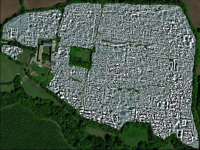
An Italian computer programmer discovered the ruins of an old villa using satellite images from Google Maps and Google Earth. Luca Mori noticed a prominent, oval, shaded form that was more than 500 meters long while looking at maps of the area surrounding his town of Sorbolo, which is close to Parma. Because former watercourses absorb different amounts of moisture from the air than their surroundings do, they can be seen as the meander of an ancient river.
He noticed some strange "rectangular shadows" in the area. He looked more closely at the image out of curiosity and came to the conclusion that the lines must be a structure that was buried and had human origins. He eventually traced out what appeared to be a villa's interior courtyards.
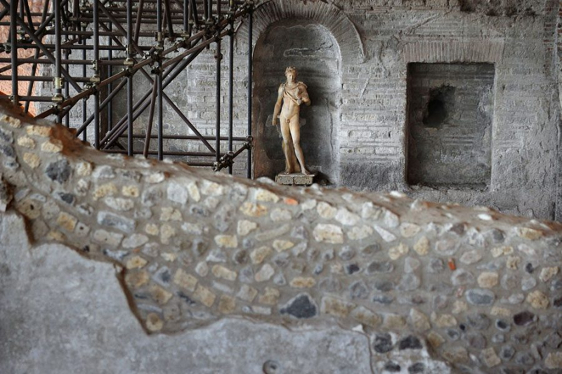
Mori contacted archaeologists, including those at the National Archaeological Museum of Parma, and writes about the discovery on his blog, Quell Della Bassa. They verified the discovery. Initially believed to be a Bronze Age village, it was discovered during an inspection of the site to be a Roman villa.
According to Manuela Catarsi Dall'Aglio, an archaeologist at the National Archaeological Museum of Parma, "Mori's research is interesting in its approach." According to him, the discovery might be related to a villa discovered at Cannetolo di Fontanellato during the building of a high-speed rail network and currently being excavated by the museum. He continues, "Only a scientific, archeological dig will tell.
- Where: Sorbolo, near Parma
- Year of Discovery: 2005


