Aragats

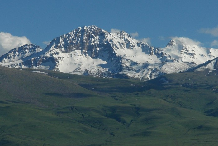
The Aragats Mountains are located in western Armenia, between the Ararat and Shirak valleys, and the Akhuryan and Kasagh rivers. It is a regular cone with jagged summits and slopes that are slightly oblique. Historians attribute the name's origins to an Armenian god named Ara. Ara's throne or Ara's throne is the name's etymology. The mountain is known for its magnificent cultural heritage, which includes dozens of Paleolithic era testimonies and artifacts, ancient irrigation networks, massive vishaps (dragon stones) placed near several water sources, and incredible Medieval era architecture samples.
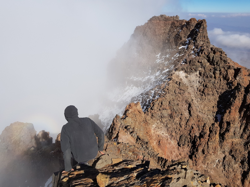
Aragats is Armenia's highest mountain and the fourth highest in the Armenian Highlands. It has four main peaks, the highest of which is 4090,1 meters. A massive crater with a depth of 350 meters and a width of 3 kilometers lies between the rocky peaks of Aragats. Firm fields and snowfields were found on the sides of the crated cirque, as well as moraines and glaciers inside the crater, according to observations. The top part has alpine-style relief that is strictly fragmented.
There are also numerous cold-water tributaries that originate from the mountain's volcanic stones. Many picturesque lakes were formed as a result of glacial debris and moraine dams: Kari, Amberd, Umroy, Lesing, and so on. Tourists are drawn to nature because it is breathtakingly beautiful. The Byurakan Observatory is on the mountain's southeastern slope, meteorological stations for cosmic ray explosion studies are on Aragats' sub-summit plateau, and the Mantash valley has a large water reservoir.
Aragats is Armenia's most popular tourist destination. Many historians, poets, painters, and composers praised Aragats in their works, including Gh. Alishan, Komitas, H. Tumanyan, Charents, and M. Saryan.
Elevation: 4090 m
Location: Shirak Province, Armenia


