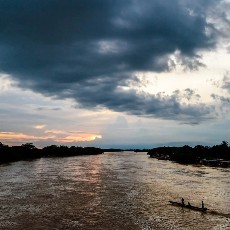
Arauca

The Arauca river flows in the Andes Mountains of north-central Colombia and flows through Venezuela to the Orinoco River. It runs along the Colombia-Venezuela border for a portion of its journey. Arauca, Colombia, and El Amparo, Venezuela, are the two major cities on its banks.
The Arauca is typical of the rivers that run east across the Llanos Orientales, beginning as a fast mountain torrent and then widening and slowing as they enter the lowlands. It begins in the Andes, at nearly 4,000 meters above sea level, in the Páramo del Almorzadero. It is known as the Chitagá at first, and it takes inflows from the Carabo and the Cacota before twisting eastward to join the Culaga and the Bochaga. The Margua obtains its new name. The Negro, Colorado, and San Lorenzo all flow into it after that.
From the Sierra Nevada de Chita, the Cubugón and the Cobar emerge on the right bank. The Sarare is the name given to this tract of land by the Tunebo Indians. It separates to form the Charo Island after flowing across a flat zone. The Royata, Bojabá, and Banada flow in on the right side, and the Cutuf flows in on the left, forming a demarcation line between Colombia and Venezuela for 296 kilometers of the border.
Length: 652 miles (shared with Venezuela)


