


Top 8 Longest Rivers in Colombia

Colombia is a transcontinental country, with the majority of its landmass located in South America and the remainder in Central America. Bogota is the ... read more...country's largest metropolis as well as its capital. The official language is Spanish, and there are 68 regional languages that are recognized. Mestizos make up the majority of the population, accounting for 86 percent of the total. The country is a presidential unitary republic. Colombia has major drainage systems and a river network. The top 8 longest rivers in Colombia will be discussed in this article.
-
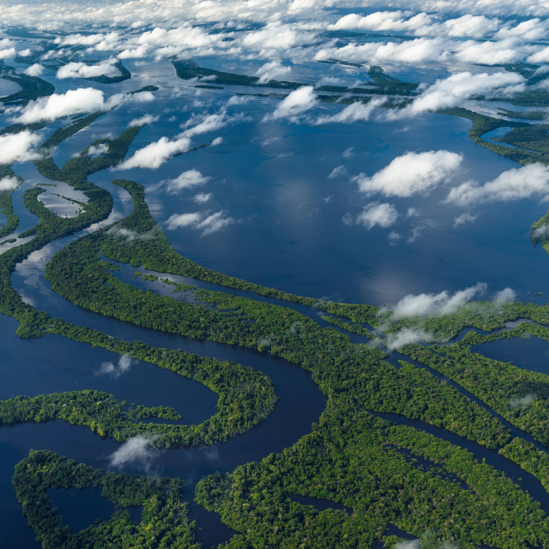
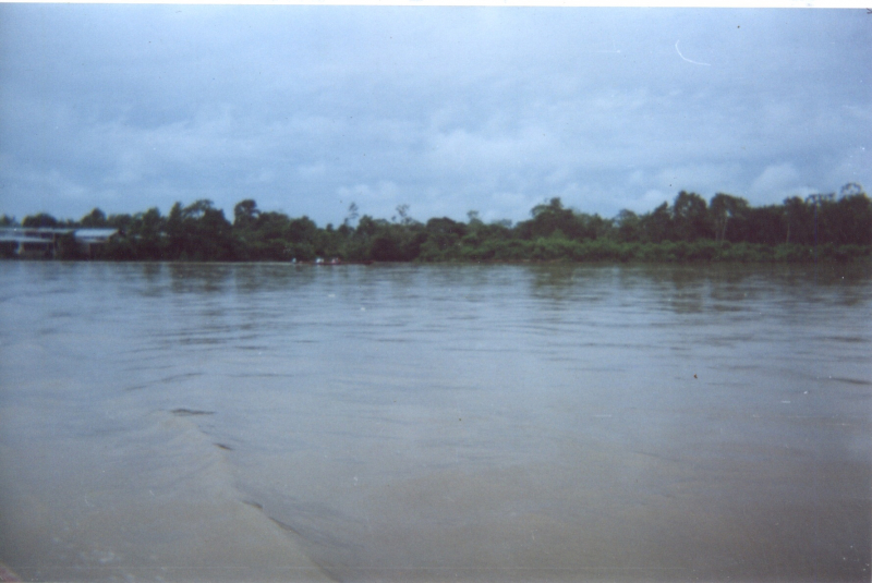
The Amazon is the world's largest river by discharge and, by some accounts, the world's longest river. It flows from Rio Mantaro to the Atlantic Ocean, covering a distance of 4,345 kilometers. The average discharge rate is 55,000,000 gallons per second or 1,581 cubic miles per year. The Amazon drainage basin is the largest in the world, covering approximately 2,720,000 square miles. Vicente Yanez Pinzon of Spain was the first European to sail the river in the year 1500.
The Nile and the Amazon have long been a point of contention for the title of the world's longest river. The Nile, according to popular opinion, is longer than the Amazon. The river's several tributaries flood at different periods of the year. So yet, no serious river flooding has been reported. The river is home to a vast and diverse mix of flora and wildlife, with over a third of all known species found here. In the Amazon, there are approximately 3,000 species of fish, with more being discovered every year. The river is also home to the world's largest snake, the anaconda.
Length: 4,345 miles (shared with Peru and Brazil)
https://www.cntraveler.com/ 
https://www.gcrmag.com/ -
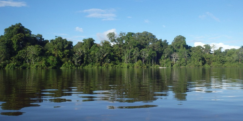
The Japurá river, also known as the Caquetá River, is a 2,820-kilometer-long river in the Amazon basin. It begins in Colombia and runs east through Brazil before joining the Amazon River. In the Andes of southwest Colombia, the river rises as the Caquetá River. The Caquetá River rises near the Magdalena River's sources and receives additional water from various branches as it travels across Colombia. It is known as the Japurá in Brazil, where it flows southeast. Through a network of canals, the Japurá enters the Amazon River. Small boats can navigate it in Brazil. The Solimes River (as the Amazon's upper Brazilian route is known) receives three more imposing streams from the northwest, the Japurá, the Içá, and the Napo, west of the Rio Negro.
The river flows through the Purus várzea ecoregion for much of its length. Electric eels, piranhas, turtles, and caimans live in the river, as do giant catfish weighing up to 91 kg and measuring up to 1.8 meters in length, as well as electric eels, piranhas, turtles, and caimans. Much of the jungle through which the eastern Caquetá once flowed has been cleared for pasture, rice, corn, manioc, and sugar cane plantations, as well as, more recently, coca crops.Length: 1,750 miles (shared with Brazil)
http://amazonwaters.org/ 
http://amazonwaters.org/ -
The Negro river, or Guaina in its upper reaches, is the Amazon River's greatest left tributary (accounting for roughly 14% of the water in the Amazon basin), the world's largest blackwater river, and one of the top 10 rivers by average discharge.
The river was named after Francisco de Orellana, a Spanish explorer who first discovered it in 1541. By the mid-seventeenth century, Jesuits had established themselves along the river's banks, amidst a diverse tribe of Manau, Aruák, and Trumá Indians. Slavery along the river became popular after 1700, and Native American populations suffered tremendously as a result of Eurasian diseases. This area was also where filming for Survivor:The Amazon in 2003.
While the name Rio Negro refers to "Black River," the Rio Negro's waters have the color of strong tea, as is common of blackwater rivers. The black hue derives from humic acid, which is formed when phenol-containing plants from sandy clearings is not completely broken down. The river was given its name because it seems black from a distance.
Length: 1,386 miles (shared with Brazil and Venezuela)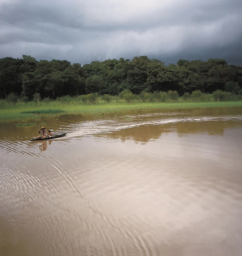
https://www.britannica.com/ 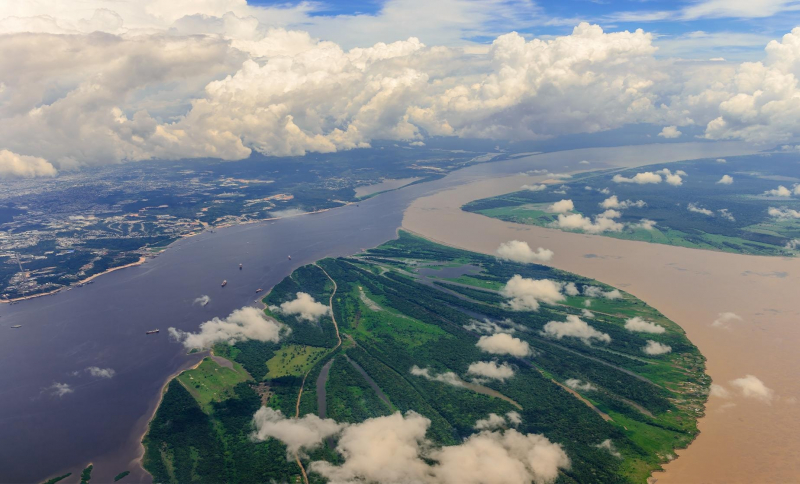
https://www.shoreexcursionsgroup.com/ -
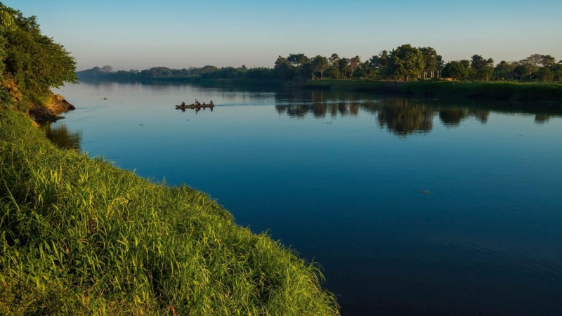
With a length of 1,330 miles, the Orinoco is one of South America's longest rivers. Its drainage basin, known as the Orinoquia, is 989,000 km2 in size, with 76.3 percent in Venezuela and the rest in Colombia. It is the world's fourth-largest river in terms of water flow volume. The Orinoco river and its tributaries are the main transportation arteries for eastern and central Venezuela, as well as the Colombian Llanos. The Orinoco basin's environment and species are exceedingly diversified.
The river is navigable for the majority of its course, and dredging has allowed ocean ships to travel as far as Ciudad Bolvar, 435 kilometers upstream, at the confluence of the Caron river. Cargo is delivered by river steamers as far as Puerto Ayacucho and the Atures Rapids.
The Orinoco River system is home to the boto and the gigantic otter. The Orinoco crocodile is one of the world's most endangered reptiles. Its natural range is limited to the Orinoco River Basin's middle and lower reaches. In the river basin, over 1000 fish species have been identified, with roughly 15% of them being indigenous. Species found in brackish or saline water in the Orinoco estuary, as well as many species restricted to freshwater, are among the fish in the river.Length: 1,330 miles (shared with Venezuela)
https://escales.ponant.com/ 
https://www.worldatlas.com/ -
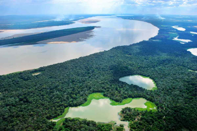
Putumayo river, also known as the Içá River, is a tributary of the Amazon River that flows west of and parallel to the Japurá River. The Putumayo River runs across Colombia, forming part of the country's border with Ecuador as well as the majority of its border with Peru. In the previous three countries, it is known as the Putumayo; however, when it enters Brazil, it is known as the Içá. The Putumayo is a Colombian river that originates in the Andes Mountains east of Pasto. It flows into the Solimes near the Brazilian municipality of Santo Antônio do Icá. The Guamués River, as well as the San Miguel, Güepp, Cumpuya, Algodón, Igara-Paraná, Yaguas, Cotuhé, and Paraná de Jacurapá rivers, are major tributaries. The river runs through the ecoregion of Solimes-Japurá damp woods.
The river is now a significant transportation corridor. Boats navigate almost the whole length of the river. Cattle farming, like the rubber trade, is an important activity along the Icá's banks. Rubber and balatá are supplied from the Içá region to Manaus, Brazil.
In November 2019, Field Museum scientists collaborated with Colombian and Peruvian colleagues to conduct a three-week "rapid inventory" of over 7 million acres surrounding the Putumayo, one of the few Amazonian rivers that have remained undamaged, cataloging 1706 species. The purpose of these quick assessments of distant places is to bring together local stakeholders in order to maintain wilderness in a cooperative manner.
Total Length: 1,000 miles (shared with Brazil, Colombia, and Ecuador)
en.wikipedia.org/wiki/Putumayo_River 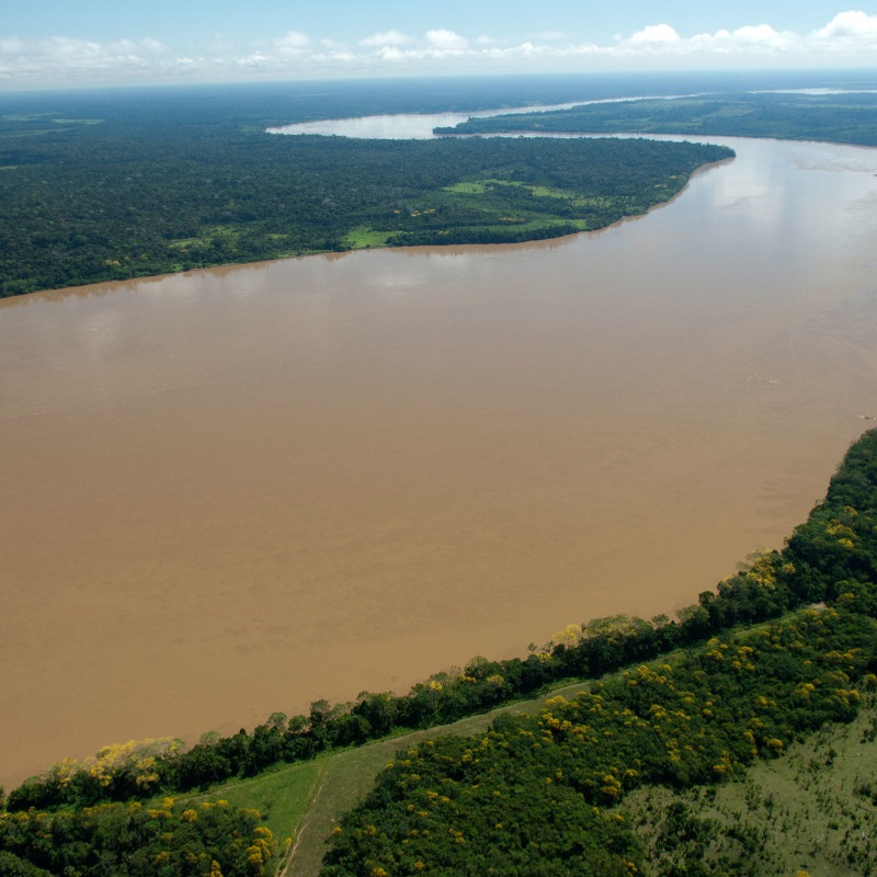
http://amazonwaters.org/ -
The Magdalena river is one of the longest rivers in Colombia. This river flows northward for 1,528 kilometers through the country's western half. It is named after Mary Magdalene, a biblical character. Despite the fluctuating sand bars at the mouth of its delta, it is navigable over much of its lower reaches as far as Honda, near the downstream base of its rapids. It runs through the valley of the Magdalena river.
Its drainage basin comprises 273,000 square kilometers, or 24 percent of the country's land area, and is home to 66 percent of the country's people. With a length of 1.612 kilometers, the Magdalena River is the greatest river system in the northern Andes. Its source is in the Huila Department of Colombia, where the Andean subranges Cordillera Central and Cordillera Oriental split. The river then flows east-northeast between the two cordilleras, forming a large valley. It reaches the coastal plain at around nine degrees north, then meanders west for about 100 kilometers before turning north again to reach the Caribbean Sea near Barranquilla in the Bocas de Ceniza zone.
Length: 950 miles
https://theculturetrip.com/ 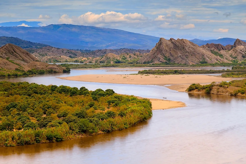
https://www.worldatlas.com/ -
The Arauca river flows in the Andes Mountains of north-central Colombia and flows through Venezuela to the Orinoco River. It runs along the Colombia-Venezuela border for a portion of its journey. Arauca, Colombia, and El Amparo, Venezuela, are the two major cities on its banks.
The Arauca is typical of the rivers that run east across the Llanos Orientales, beginning as a fast mountain torrent and then widening and slowing as they enter the lowlands. It begins in the Andes, at nearly 4,000 meters above sea level, in the Páramo del Almorzadero. It is known as the Chitagá at first, and it takes inflows from the Carabo and the Cacota before twisting eastward to join the Culaga and the Bochaga. The Margua obtains its new name. The Negro, Colorado, and San Lorenzo all flow into it after that.
From the Sierra Nevada de Chita, the Cubugón and the Cobar emerge on the right bank. The Sarare is the name given to this tract of land by the Tunebo Indians. It separates to form the Charo Island after flowing across a flat zone. The Royata, Bojabá, and Banada flow in on the right side, and the Cutuf flows in on the left, forming a demarcation line between Colombia and Venezuela for 296 kilometers of the border.Length: 652 miles (shared with Venezuela)

https://www.theguardian.com/ 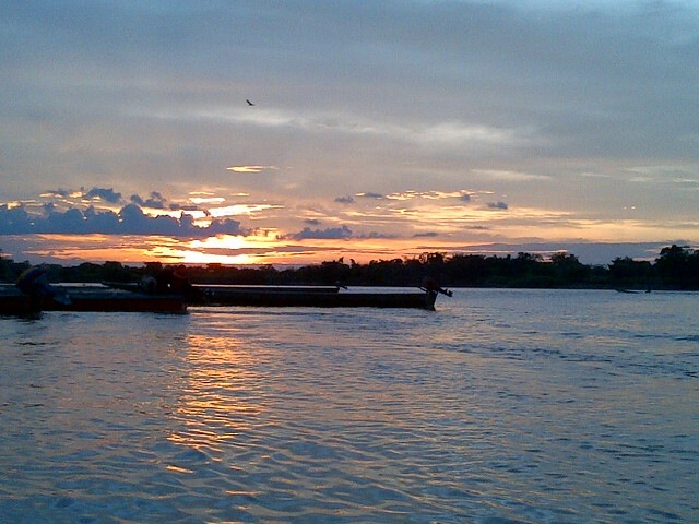
https://vbouvier.wordpress.com/ -
The Cauca river flows across Colombia, connecting the Occidental and Central Cordilleras. Its sources are at Popayán in southwestern Colombia, and it meets the Magdalena River near Magangué in Bolvar Department, where it eventually flows into the Caribbean Sea. It runs for 965 kilometers till it meets the Magdalena, for a total distance of 1,350 kilometers from source to sea mouth. The river is navigable for 640 kilometers above its confluence with the Magdalena and is supervised by the Corporación Regional del Cauca and the Corporación Autonoma Regional del Valle del Cauca.
The river was receiving an average of 500 tons of leftover debris every day. Pollution from the city of Popayán, seven gold mines that emit industrial pollutants including mercury, eight sand mills, and a few of coal and bauxite mines Cali, the largest city on the river, is 76 percent reliant on it. Other affluent rivers absorb residual waters from other big cities and deposit an estimated 330 tons of residual garbage into the river. The river is devoid of oxygen by the time it reaches Yumbo.
The Cauca River has been severely impacted by the Hidroituango hydropower dam project. The dam's flow has been reduced by up to 80% in some areas.
Length: 600 miles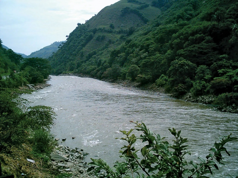
https://www.britannica.com/ 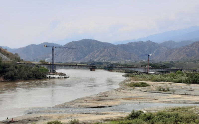
https://www.pedelta.com/


