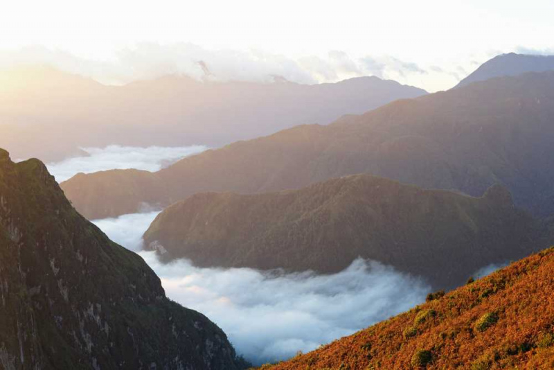
Bach Moc Luong Tu - The Ky Quan San range

Vietnam's fourth highest mountain at an altitude of 3046m, is the natural boundary of the two provinces of Lao Cai and Lai Chau. This is a mountain whose name is mistaken for another mountain, but due to its popularity, it is difficult to correct its name. Therefore, the name Bach Moc Luong Tu has been used as its official name up to this point.
To reach the top of Bach Moc, visitors have to climb a long distance of about 30km on the forest road. Not only that, you also have the experience of climbing through many different terrains such as bare hills, bamboo forests, large wooden forests, dwarf bamboo forests to moss-covered cliffs.
Visitors can choose to depart from either of the two provinces. The bow from Sang Ma Sao commune, Bat Xat district, Lao Cai, on the other hand, is the most popular. With its highest peak of over 3,000 meters, Muoi mountain in the Ky Quan San range is one of the most beautiful places in the northern mountainous region to watch clouds and sunrise. Visitors who climb Ky Quan San in May will be able to see the terraced fields of the Mong people during the pouring water season.
Height: 3,046 m
Location: Belongs to Ky Quan San range, located between Lai Chau and Lao Cai.


