Bahr al-Arab


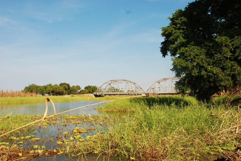
Bahr al-Arab is a river in Sudan's southwest that runs for around 800 kilometers and forms part of the country's international border with South Sudan. It is a tributary of Bahr el Ghazal, which is a tributary of the White Nile, and is part of the Nile river system.
The river flows through Sudan's Kurdufan and Darfur areas, and it forms part of the border between Darfur and northeastern South Sudan's Bahr el Ghazal region. The Bahr al-Arab has served as a dividing line between the Dinka and Baggara ethnic groups for millennia. Since the beginning of their oral traditions, the river has acted as a border and a source of conflict between the Baggara and Dinka peoples.
The location of Bahr al-Arab on the border of Northern and Southern Sudan made it a military front and a fighting zone during the Second Sudanese Civil War. Several droughts and crop failures hit western Sudan in the early 1980s. The Baggara went south of the Bahr al-Arab and came into conflict with the Dinka as various peoples shifted southward. In an attempt to gain ground against the Sudan People's Liberation Army, the Sudanese military backed the Baggara. Throughout the 1980s, Baggara militias known as murahileen fought the SPLA. The area near the Bahr al-Arab had been ruined by the end of the decade, and the people had been decimated.
Length: 497 miles (shared with South Sudan)