Barre Des Ecrins

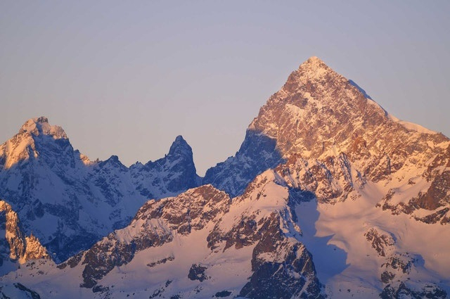
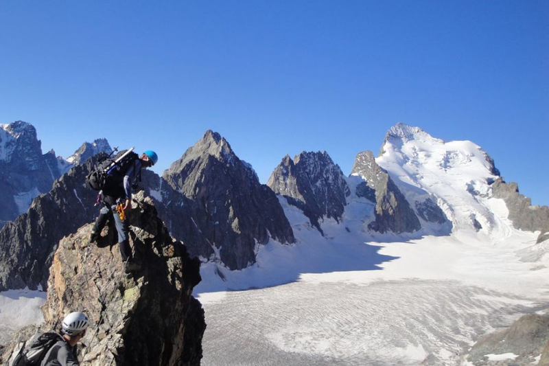
Outside of the Mont Blanc Massif, this craggy, rocky peak, Barre Des Ecrins, is France's approximately 4,000m mountain. In fact, before the annexation of Savoy in 1860, it was the country's tallest mountain. The peak is encircled by four glaciers: the Bonne Pierre glacier to the north-west, the Glacier Blanc to the north-east, the Glacier du Vallon de la Pilatte to the south-west, and the Glacier Noir to the south-east. It is separated from the Snow Dome of Écrins (4015 m) to the west by the Lory Gap (3974 m), the Barre Noir (3751 m) to the north-east by the Écrins Gap (3661 m), and Fifre (3699 m) to the south by the Col des Avalanches (3499 m).
From miles away, the mountain can be seen. It is, in fact, the topic of the world's longest known line of sight. Many climbers come to the Barre des Écrins, which has numerous routes to the summit. The Pré de Madame Carle in the valley of Ailefroide is the typical starting point for climbing the peak. The Glacier Blanc's typical route climbs the whole length of the glacier. This is a popular path since it leads to the Dôme des Écrins, one of the most accessible 4,000-meter peaks in the Alps. It begins at the Refuge des Écrins and ascends the north face almost to the Lory saddle (3,974 m), where the Dôme and Barre routes meet. The ascent of the Barre continues all the way to the summit via a rocky arête. The Col des Écrins has been rigged with cables by La Bérarde guides, allowing them to transport their guests to the peak.
Elevation: 4,102m
Location: Pelvoux, France


