Top 8 Highest Mountains In France
France is home to world-class wine, delectable cuisine, a rich history, and, last but not least, Europe's most magnificent alpine vistas. For ages, the highest ... read more...mountains in France have served as a backdrop for the development of modern climbing, luring explorers and adventurers from all over the world to come and put their talents to the test. The country is famous for Mont Blanc, Western Europe's highest peak, and many consider it to be the birthplace of modern climbing. The highest mountains in France are listed below, along with information about them.
-
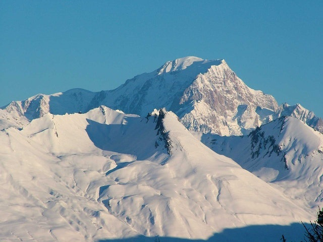
Mont Blanc is the highest peak in Western Europe, rising to a height of about 5,000 meters. Of course, Russia's Mount Elbrus is the highest mountain on the entire European continent. Mont Blanc, which straddles the border between France and Italy, is ranked 11th in the world in terms of topographic significance. The first ascent was made in 1786 by Jacques Balmat and the doctor Michel-Gabriel Paccard, which marked the beginning of alpinism's golden period and modern mountaineering.
Mont Blanc, while being smaller than Elbrus, has a much higher death rate. Thousands attempt the climb each year, but many are unskilled and underestimate the difficulty and abilities required. In fact, each year on Mont Blanc, more people die than in any previous decade in the Alaskan mountains, including the notoriously dangerous and challenging Denali.
Hiking, climbing, trail running, and winter sports such as skiing and snowboarding are all popular activities on the Mont Blanc massif. The Goûter Route, which takes two days to ascend to the peak of Mont Blanc, is the most popular.
Courmayeur, in the Aosta Valley, Italy, and Saint-Gervais-les-Bains and Chamonix, in Haute-Savoie, France, are the three cities and communes that encircle Mont Blanc. The inaugural Winter Olympics were held in the latter town. From Courmayeur to Chamonix, a cable car ascends and crosses the mountain range through the Col du Géant. The Mont Blanc Tunnel, which was built between 1957 and 1965 and runs beneath the mountain, is a main transalpine transportation route.Elevation: 4,808m
Location: Haute-Savoie, France
https://mpora.com/ 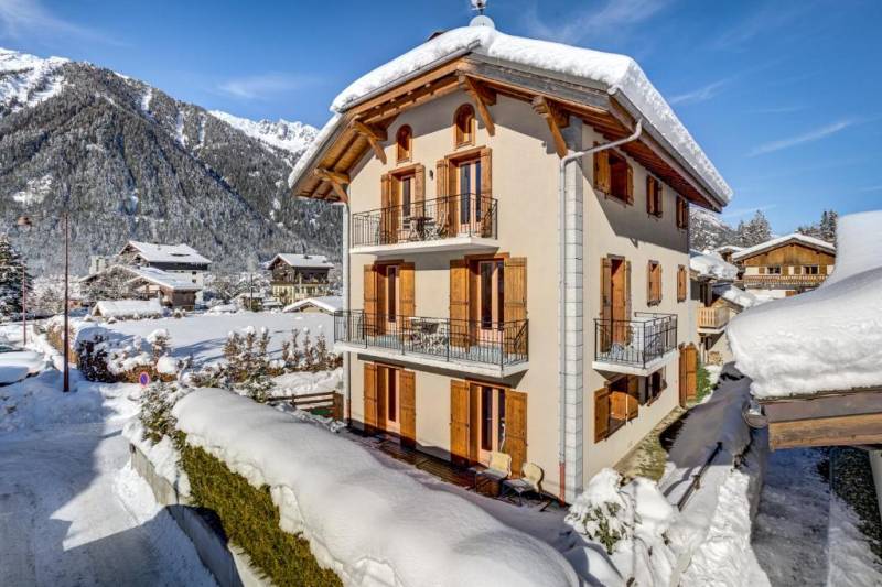
https://www.booking.com/ -
Outside of the Mont Blanc Massif, this craggy, rocky peak, Barre Des Ecrins, is France's approximately 4,000m mountain. In fact, before the annexation of Savoy in 1860, it was the country's tallest mountain. The peak is encircled by four glaciers: the Bonne Pierre glacier to the north-west, the Glacier Blanc to the north-east, the Glacier du Vallon de la Pilatte to the south-west, and the Glacier Noir to the south-east. It is separated from the Snow Dome of Écrins (4015 m) to the west by the Lory Gap (3974 m), the Barre Noir (3751 m) to the north-east by the Écrins Gap (3661 m), and Fifre (3699 m) to the south by the Col des Avalanches (3499 m).
From miles away, the mountain can be seen. It is, in fact, the topic of the world's longest known line of sight. Many climbers come to the Barre des Écrins, which has numerous routes to the summit. The Pré de Madame Carle in the valley of Ailefroide is the typical starting point for climbing the peak. The Glacier Blanc's typical route climbs the whole length of the glacier. This is a popular path since it leads to the Dôme des Écrins, one of the most accessible 4,000-meter peaks in the Alps. It begins at the Refuge des Écrins and ascends the north face almost to the Lory saddle (3,974 m), where the Dôme and Barre routes meet. The ascent of the Barre continues all the way to the summit via a rocky arête. The Col des Écrins has been rigged with cables by La Bérarde guides, allowing them to transport their guests to the peak.Elevation: 4,102m
Location: Pelvoux, France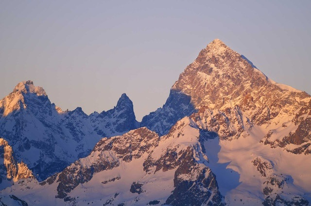
https://mpora.com/ 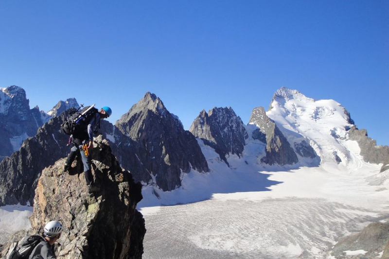
https://www.odyssee-montagne.fr/ -
The Grande Casse is the highest mountain in the Vanoise Massif in the Graian Alps, and was first summited by William Mathews and guides Michel Croz and E. Favre in 1860.This France's third highest peak is near the Pralognan-la-Vanoise village, which is approximately 25 kilometers southeast of the Moûtiers town. It features a 600-meter-high north face. The mountain's other slopes are more gentle, consisting primarily of broken boulders. It is connected to the adjacent Grande Motte summit by a steep ridge. The watershed between the Tarentaise Valley to the north and the Maurienne Valley to the south is the ridge connecting the Grande Casse and the Grande Motte.
From the outside, the Grande Casse appears to be a difficult ascent. The regular route, on the other hand, is rather simple to ascend. As a result, the peak is a popular choice for inexperienced mountaineers wishing to improve their skills. This similar path attracts top skiers looking for a tough backcountry descent in the spring.
Elevation: 3,855m
Location: Savoie, France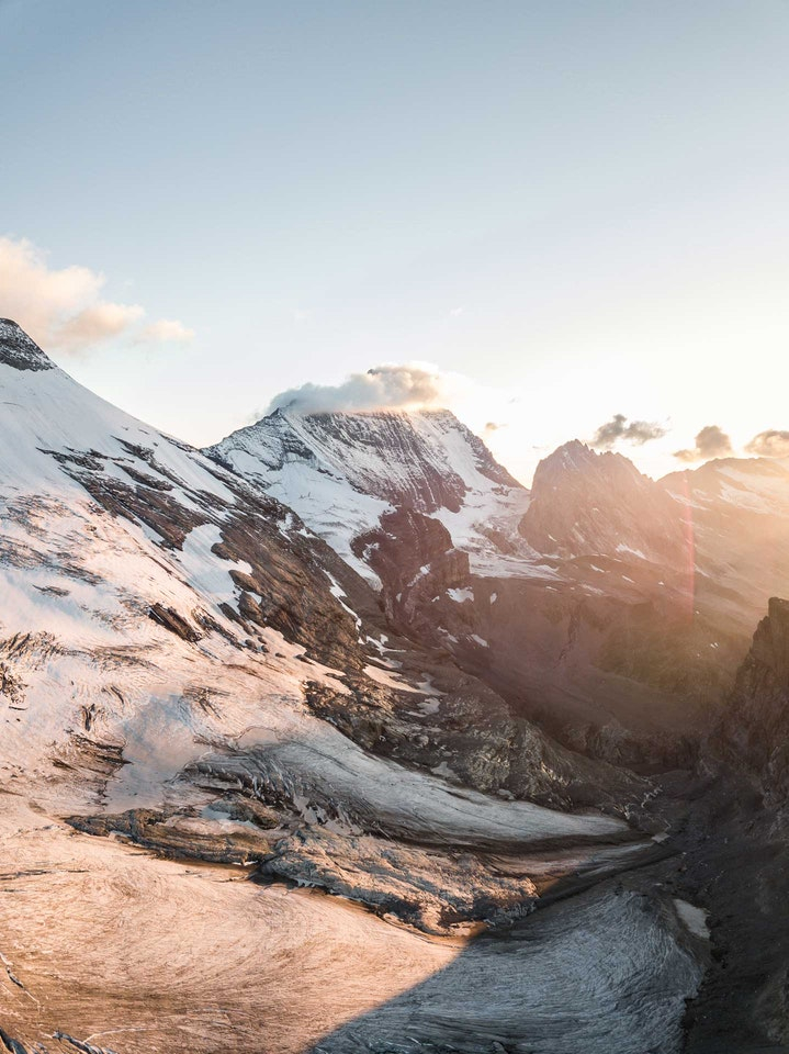
https://mpora.com/ 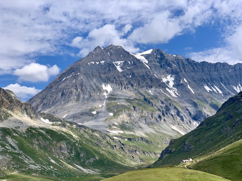
https://peakvisor.com/ -
The Mont Pourri, at 3,779 meters, is the Vanoise Massif's second-highest summit after the Grande Casse. It is a mountain you might recognize if you have ever skied in Les Arcs. From the valley (Aime) to the mountain communities of the Versant du Soleil (Granier, Valezan...), the Mont Pourri may be viewed from the route. Reach the Roche de Mio, the Aiguille Rouge by cable car, or the Beaufortain mountains (Pointe de Combe Bénite) by foot for a better view of the peak.
The name translates "rotten mount" or "decayed mount" in English, which some people misunderstand to suggest that the mountain is in bad shape. Mont Pourri, in fact, provides excellent climbing all year and is particularly popular with freeride skiers and snowboarders in the spring.
Many stories exist that attempt to explain the origins of the peak's infamous moniker. They do not appear to be related to moldy or loose rocks. The mount was most likely named after a climber named Pury, Pourrit, or Purry. Legend has it that he would have ascended the mountain decades before Michel Croz-the first recorded ascent. And he would have named the peak after himself.
Elevation: 3,779m
Location: Vanoise National Park, France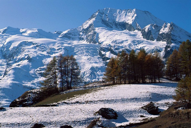
https://mpora.com/ 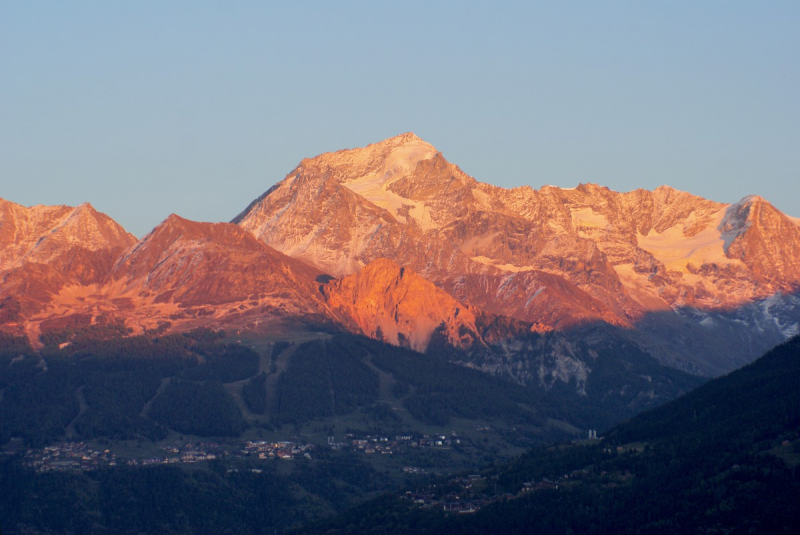
https://frenchmoments.eu/ -
Dent Parrachee, another mountain of the Vanoise range, is 3,697 meters of pyramidal ice and rock that towers above the Aussois settlement and overlooks the Plan d'Aval and Plan d'Amont dams. It has a diverse range of mountaineering sports, including alpine climbing, nordic skiing, and hiking. It is served by a year-round 30-bed shelter that serves as a base for mountaineers, skiers, and hikers exploring the mountain.
Visitors can do everything from a tour of the Vanoise Glaciers to summiting the peak itself from the chalet. You can also start your ascent from Aussois and attempt to climb and descend in a single day if you want a tougher challenge.
During the months of March and April, as well as June and September, the cabin is frequently guarded. When guarded, the capacity is 42 people, and during the summer and winter, it is 24. New thermal and photovoltaic solar panels, as well as a pico hydropower power station, have just been installed in the hut.Elevation: 3,697m
Location: Savoie, France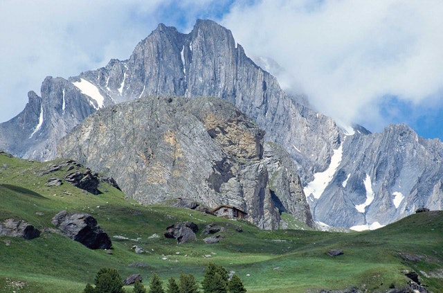
https://mpora.com/ 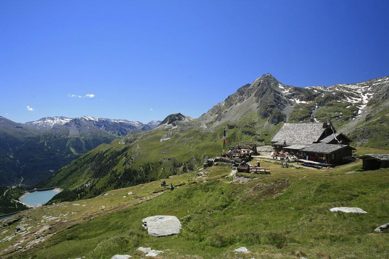
https://www.haute-maurienne-vanoise.com/ -
This visually stunning mountain, Aiguilles D’Arves, located in the Arves Massif, is made up of three-pointed peaks, the largest of which, the Southern Needle, stands at an astonishing 3,514m. The second-highest peak, the Central Needle, was first reached in 1839.
On September 2, 1839, the brothers Pierre Alexis and Benoît Nicolas Magnin, from nearby Saint-Michel-de-Maurienne, climbed the central summit of the Aiguilles d'Arves for the first time. They constructed a cairn and buried two Sardinian coins under a rock on the peak as proof.
Christian and Ulrich Almer, Swiss mountain guides, and their American customer, W. A. B. Coolidge of New York, were the first to reach the southern summit. Coolidge made a number of first ascents and worked extensively in the Dauphiné Alps during the 1870s and 1880s. The same group had previously climbed L'Auguille Centrale in 1874. They discovered the cairn made by the Magnin brothers on the peak but attributed it to "a legendary chamois hunter" Benoît Magnin notified them of his ascent 39 years prior the day after their summit of L'Aiguille Meridionale in 1878.
Elevation: 3,514m
Location: Arves massif, France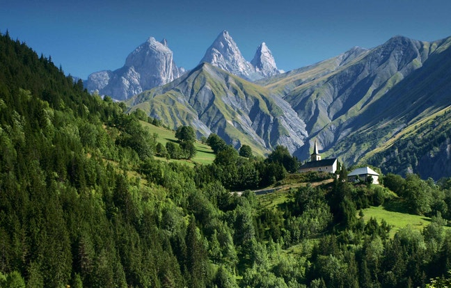
https://mpora.com/ 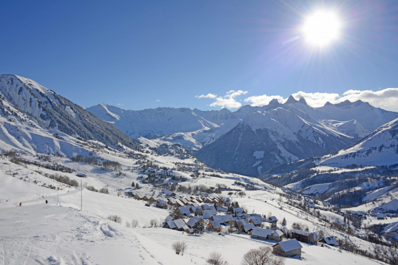
https://www.savoie-mont-blanc.com/ -
Aiguille de Scolette, a 3,506m mountain on the French-Italian border, is located in Savoie on the French side and Turin on the Italian side. It is a spectacular snow-covered pyramid that rises above the Cottian Alps and was first climbed in 1875. Outside of the Monviso area, this is the highest summit in the Cottian Alps. It is part of the Massif du Mont-Cenis in the French Western Alps subdivision. The mountain is divided administratively between the communes of Avrieux (F - north-west and north-east faces) and Bardonecchia (I - southern face).
Do you want to climb it? The most direct path to the summit begins from the Col de Pelouse, which connects Bardonecchia with Avrieux, and follows the mountain's south-west and north-west ridges.
The artificial lake of Rochemolles is located on the Italian side at 1,979 meters above sea level, while the little lake of Scolette is located on the French side (2686 meters).Elevation: 3,506m
Location: province of Turin, France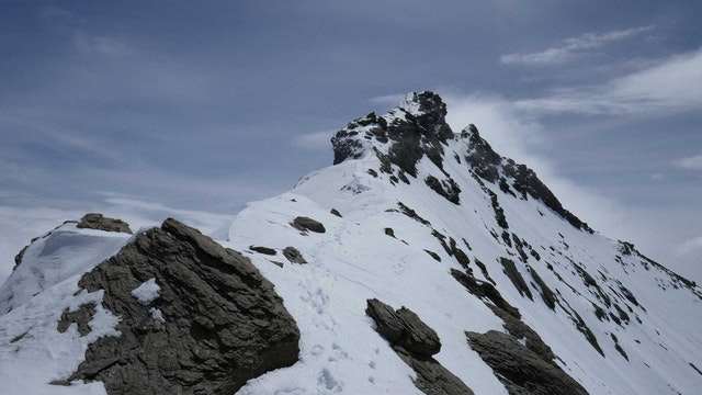
https://mpora.com/ 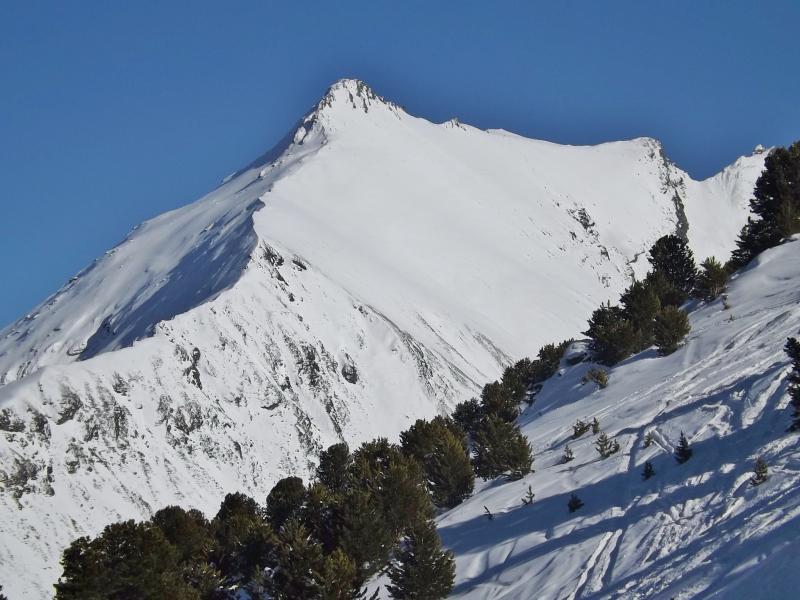
https://commons.wikimedia.org/ -
Vignemale is the highest peak in the French Pyrenees. It is located on the boundary of the Hautes-Pyrénées Department in Occitanie and Gascony, France, and Sobrarbe in Aragon, Spain. There are numerous separate summits on the mountain, the highest of which stands at 3,298 meters. The Ossoue, the second largest of the Pyrenean glaciers, must be crossed in order to ascend along the conventional path.
It is especially known for its stunning north face, which features a number of difficult ascent routes for advanced climbers. The North Face, which has a variety of challenging climb routes requiring skill and commitment, is one of its most spectacular features. The Refuge des Oulettes de Gaube / Refugi d'eths Oletas de Gauba is an interestingly positioned mountain refuge beneath the North Face.
From the north, a pleasant hike up to and around the scenic Lac de Gaube / Gauba provides increasingly stunning views of the mountain.
Elevation: 3,298m
Location: Pyrenees, France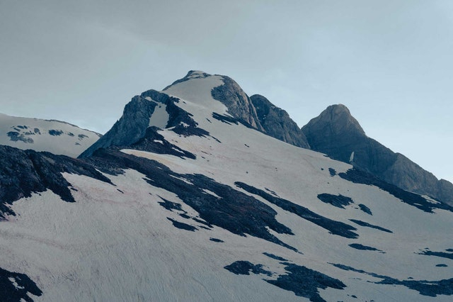
https://mpora.com/ 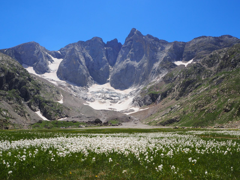
https://www.wikiloc.com/


