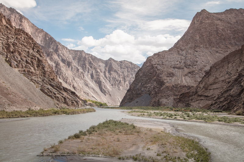
Bartang

The Bartang (Russian and Tajik: aртан) is a river in Central Asia that is a tributary of the Panj and hence of the Amu Darya. It is also known as the Murghab and Aksu in its higher reaches; it flows through the Wakhan in Afghanistan, then through the Rushon District of Tajikistan's Gorno-Badakhshan autonomous territory. The river is 528 kilometers (328 miles) long (133 kilometers if Aksu and Murghab are excluded) and has a basin size of 24,700 square kilometers (9,500 sq mi).
The river begins in Chaqmaqtin Lake in the Little Pamir of the Wakhan and is known as the Aksu or Oksu ("white water"). It then runs east into Tajikistan before turning north to the city of Murghab, passing via the town of Shaimak. The river below Murghab is known as the Murghab (Tajik: уро, Murghob meaning "Bird River," Russian: урa - Murgab). Sarez Lake, a few kilometers south of Murghab, was constructed by a landslide during the 1911 Sarez earthquake, which also created the world's highest natural dam, Usoi Dam. The Ghudara River joins the river immediately beyond Sarez Lake. The river is called the Bartang after the intersection. The Bartang flows 132 kilometers (82 miles) down the western Pamir Mountains before becoming a tributary of the Panj on the Tajik-Afghan border. Tajik National Park encompasses a large portion of the river. The Bartang is mostly fed by glacier and snow runoff. It is the only river that runs from east to west through Gorno-Badakhshan.
Length: 528 km (328 mi)


