


Top 5 Longest Rivers In Tajikistan

Tajikistan is bounded to the north and west by Kyrgyzstan and Uzbekistan, to the east by China, and to the south by Afghanistan. Mountains cover 93% of ... read more...Tajikistan's land area. The two main ranges, the Pamir Mountains and the Alay Mountains, give rise to numerous glacier-fed streams and rivers that have long been used to irrigate farmlands. The top five longest rivers in Tajikistan are examined below.
-
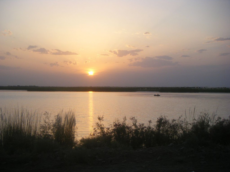
The 1st place in the list of the longest rivers in Tajikistan is the Amu Darya (also known as the Amu, Amo River, or Jayhn, and historically as Oxus or Greek o). This is an important river in Central Asia and Afghanistan. The Amu Darya River rises in the Pamir Mountains, north of the Hindu Kush, and is produced by the confluence of the Vakhsh and Panj rivers in the Tigrovaya Balka Nature Reserve on the Afghan-Tajik border, and flows north-westward into the southern remnants of the Aral Sea. The river forms part of Afghanistan's northern border with Tajikistan, Uzbekistan, and Turkmenistan in its upper course. In ancient times, the river was considered to be the border between Greater Iran and "Turan," which roughly matched modern-day Central Asia.
The river's entire length is 2,400 kilometers (1,500 miles), and its drainage basin area is 534,739 square kilometers (206,464 square miles), with a mean discharge of around 97.4 cubic kilometers (23.4 cu mi) of water per year. The river may be navigated for nearly 1,450 kilometers (900 mi). The water comes entirely from the high mountains in the south, where yearly precipitation might exceed 1,000 mm (39 in). Even before wide-scale irrigation, significant summer evaporation meant that not all of this discharge made it to the Aral Sea — however, there is some evidence that the massive Pamir glaciers generated enough meltwater for the Aral to overflow in the 13th and 14th centuries.
Length: 2,400 km (1,500 mi)
wikipedia.org 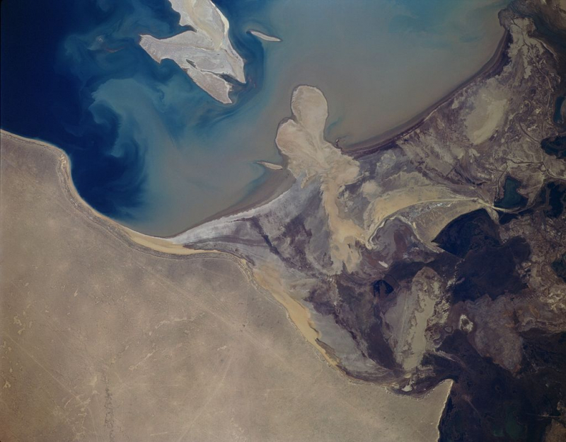
wikipedia.org -
The Syr Darya, which is in 2nd place in the list of the longest rivers in Tajikistan, is a river in Central Asia. The name, a Persian derivation, literally means Syr Sea or Syr River, and it is sometimes referred to as such. It runs west and north-west across Uzbekistan and southern Kazakhstan to the northern remnants of the Aral Sea, beginning in the Tian Shan Mountains in Kyrgyzstan and eastern Uzbekistan. It is northern and eastern of the two major rivers in the Aral Sea's endorheic basin, the other being the Amu Darya (Jayhun).
The river begins in two headstreams in the Tian Shan Mountains of Kyrgyzstan and eastern Uzbekistan—the Naryn River and the Kara Darya, which join in the Uzbek side of the Fergana Valley—and runs west and north-west through Uzbekistan and southern Kazakhstan to the remains of the Aral Sea. The Syr Darya drains an area of about 800,000 square kilometers (310,000 sq mi), although only 200,000 square kilometers (77,000 sq mi) contribute considerable flow to the river: in fact, two of the basin's main rivers, the Talas and the Chu, dry up before reaching it. Its annual flow is only 37 cubic kilometers per year, which is half that of its sister river, the Amu Darya.
During the Soviet era, huge irrigation projects were built around both rivers, diverting their water into farmland and causing the Aral Sea, once the world's fourth-largest lake, to vanish during the post-Soviet era. Tajikistan's lowest elevation is 300 meters (980 feet) above sea level, where the river flows from Tajikistan into Uzbekistan.
Length: 2,256 km (1,401 mi)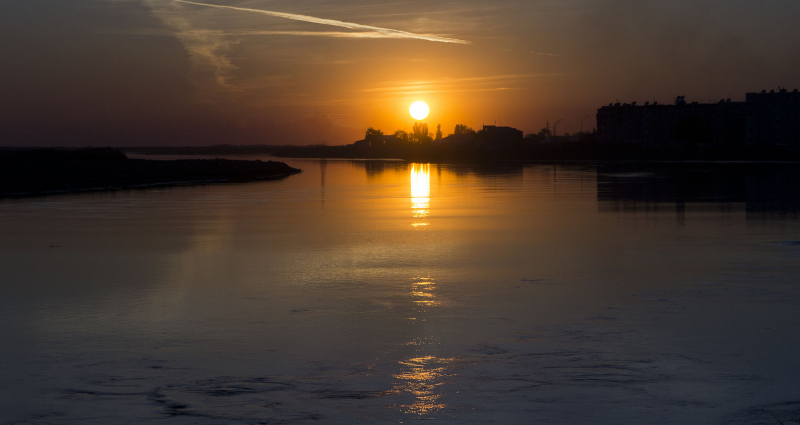
wikipedia.org 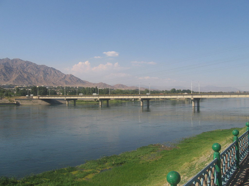
wikipedia.org -
The Zeravshan River flows through Tajikistan and Uzbekistan in Central Asia. Its Persian name, "spreader of gold," refers to the occurrence of gold-bearing sands in the river's upper reaches. It was known as the Polytimetus to the ancient Greeks. It was once known as the Sughd River. The river stretches for 877 kilometers (545 miles) and has a basin size of 17,700 square kilometers (6,800 sq mi).
It begins at the Zeravshan Glacier in Tajikistan, near the intersection of the Turkestan Range and the Zeravshan Range of the Pamir-Alay mountains. It is also known as Matcha in its upper course, upstream from its confluence with the Fan Darya. It flows due west for about 300 kilometers (190 miles), passing Panjakent before entering Uzbekistan at 39°32′N 67°27′E, where it turns west-to-north-west, passing the legendary city of Samarkand, where it feeds the Dargom Canal, which is entirely dependent on the oasis thus created, until it bends left again to the west north of Navoiy and further south-west, passing Bukhara before becoming lost in the desert beyond.
Length: 877 km (545 mi)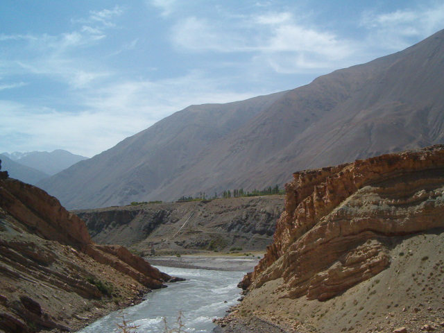
wikipedia.org 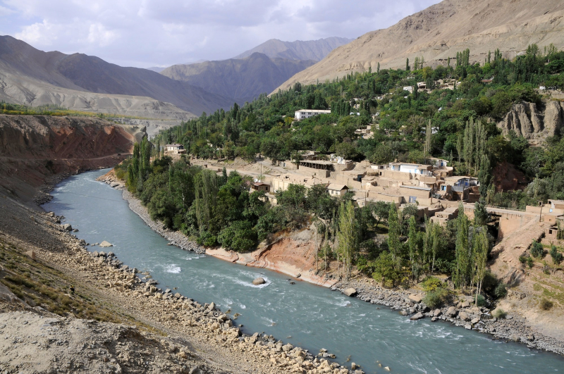
heroesofadventure.com -
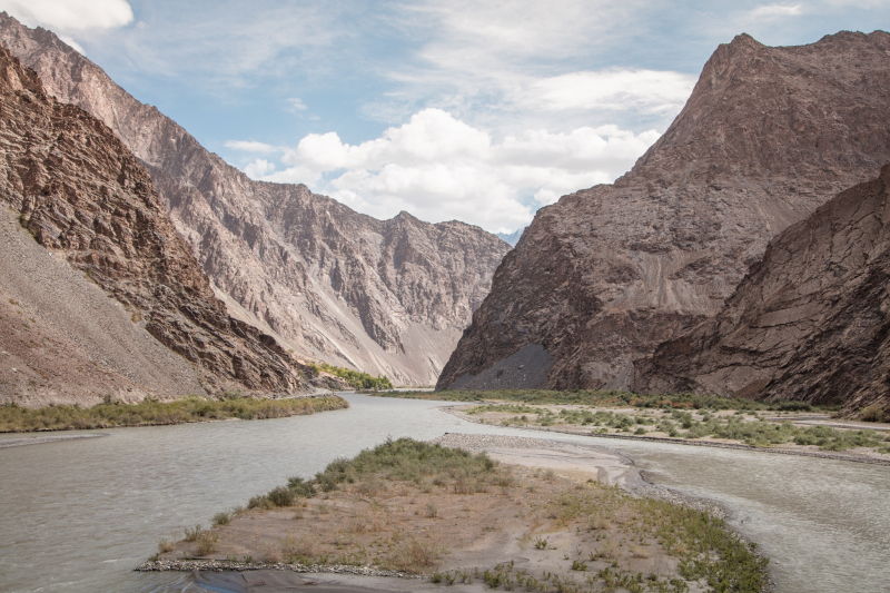
The Bartang (Russian and Tajik: aртан) is a river in Central Asia that is a tributary of the Panj and hence of the Amu Darya. It is also known as the Murghab and Aksu in its higher reaches; it flows through the Wakhan in Afghanistan, then through the Rushon District of Tajikistan's Gorno-Badakhshan autonomous territory. The river is 528 kilometers (328 miles) long (133 kilometers if Aksu and Murghab are excluded) and has a basin size of 24,700 square kilometers (9,500 sq mi).
The river begins in Chaqmaqtin Lake in the Little Pamir of the Wakhan and is known as the Aksu or Oksu ("white water"). It then runs east into Tajikistan before turning north to the city of Murghab, passing via the town of Shaimak. The river below Murghab is known as the Murghab (Tajik: уро, Murghob meaning "Bird River," Russian: урa - Murgab). Sarez Lake, a few kilometers south of Murghab, was constructed by a landslide during the 1911 Sarez earthquake, which also created the world's highest natural dam, Usoi Dam. The Ghudara River joins the river immediately beyond Sarez Lake. The river is called the Bartang after the intersection. The Bartang flows 132 kilometers (82 miles) down the western Pamir Mountains before becoming a tributary of the Panj on the Tajik-Afghan border. Tajik National Park encompasses a large portion of the river. The Bartang is mostly fed by glacier and snow runoff. It is the only river that runs from east to west through Gorno-Badakhshan.
Length: 528 km (328 mi)
asia-hikes.com -
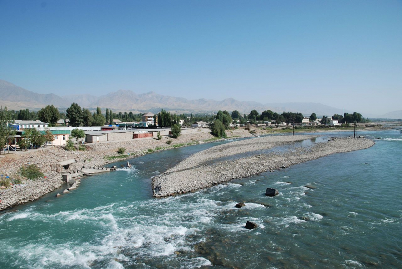
The Kofarnihon (Tajik: оaрнион, Uzbek: Kofarnihon, Russian: аирниан Kafirnigan) is the last river on Toplist's list of the longest rivers in Tajikistan. It is one of Tajikistan's primary tributaries of the Amu Darya, along with the Vakhsh and Panj. The river is 387 kilometers (240 miles) long and has an area of 11,600 square kilometers in its basin (4,500 sq mi).
It begins on the southern slopes of the Gissar Range in Vahdat district, previously Kofarnihon district, and flows in a general south-western direction past the cities of Vahdat and Dushanbe before turning south and running through Khatlon Province reaching the Afghan border. It flows into Amudarya about 40 kilometers west of the junction of the Vakhsh and Panj rivers. The Kofarnihon is a major supply of drinking water, although it is heavily contaminated by irrigation runoff and badly cleansed recycled water in the Dushanbe and Vahdat areas. It constitutes a portion of the boundary between Tajikistan and Uzbekistan. The Varzob and Khanaka from the right, and the Elok from the left, are its primary tributaries.
Length: 387 km (240 mi)
wikipedia.org


