Belize River

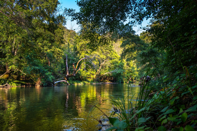
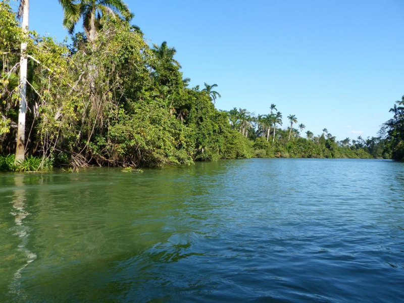
The Belize River ranks in 2nd place on the list of the longest rivers in Belize. This river flows through the middle of Belize for 290 kilometers (180 miles). It drains over a quarter of the country as it winds along the northern border of the Maya Mountains to the sea just north of Belize City (17°32′N 88°14′W). The Belize river valley is mostly covered in the tropical rainforest.
The Belize River, sometimes known as the Old River, begins where the Mopan and Macal rivers meet slightly east of San Ignacio, Belize (17°11′N 89°04′W). The Belize River – Mopan River Catchment area is home to more than 45 percent of Belize's population. Despite having 78 runs or rapids, the Belize River is navigable from the Mopan to the Guatemalan border. It was the principal artery of commerce and communication between the interior and the coast until the early twentieth century, and it has long been connected with the forestry, logwood (for dye), and mahogany, which continues in small stands.
Early on, loggers who used the river encountered the Maya and clashed with them as well as the Spaniards. A request for "weapons and ammunition" for loggers was made in 1807. In the late 1820s, Methodist minister Thomas Wilkinson discovered that three to four thousand men worked at camps for most of the year. By the late 1800s, there were more than 130 small communities along the river. Burrell Boom, located just above Belize City, serves as a log catchment area.
The Belize River is now a vital source of drinking water and other domestic use for the locals who live along with it; unfortunately, water quality has deteriorated due to sediment, fertilizer loading, pesticides, and other contaminants. The main cause of deterioration is significant deforestation in the upper sections of the Mopan River, as well as non-sustainable agriculture. Traditional slash and burn agricultural methods also contribute to the degradation of watersheds.
Length: 290 km (180 mi)


