Cavernas do Peruaçu National Park
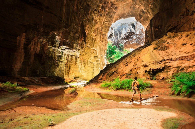
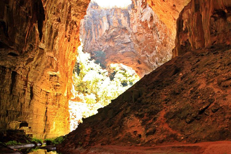
Cavernas do Peruaçu National Park is located in the Brazilian state of Minas Gerais. Large limestone caves are a feature of the area. The Cavernas do Peruaçu National Park, which covers 56,448 hectares (139,490 acres) and is managed by the Chico Mendes Institute for Biodiversity Conservation, was established on September 21, 1999. Parts of the towns of Januária, Itacarambi, and So Joo das Misses in the state of Minas Gerais are included in the park. The State Forestry Institute runs the Veredas do Peruaçu State Park, which is close by, as well as the Xakriabá Indian Reserve.
The Peruaçu River flows through the park from north west to south east, eventually merging with the So Francisco River, which runs along the park's south eastern border. On September 26, 1989, the Cavernas do Peruaçu Environmental Protection Area (EPA) was established, covering 143,866 hectares (355,500 acres). The EPA encompasses the Peruaçu River basin and overlaps both the National Park and the State Park, however both parks expand beyond the EPA's boundaries. Temperatures average around 18 °C (64 °F) in the winter and are slightly higher in the summer due to more cloud cover.
The average annual rainfall is less than 1,200 millimetres (47 in), with the majority of it falling during the summer. The relative humidity is around 70%. Seasonal montane deciduous forest, semi-deciduous forest, savannah with trees, and transitional zones are found in the park, which is located between the Cerrado and Caatinga areas. A large variety of animals thrives in the various habitats. The rock art in the Gruta do Janelo and nearby caves dates back over 10,000 years.
Location: near Januária


