Cotopaxi

Cotopaxi, Ecuador's second tallest peak, has an elevation of 19347 feet and is located in the North Volcanic Zone and the Andean range. The active stratovolcano last erupted in 2015, lasting about six months from August to January 2016.
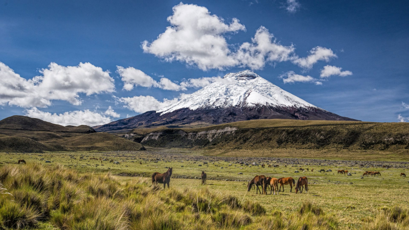
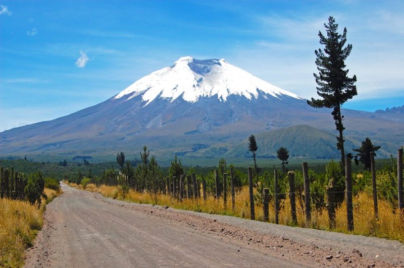
Cotopaxi is an almost symmetrical cone with snow at the top. The volcano is situated within the Cotopaxi Volcano National Park, which is home to humid mountain forests and pine trees at lower elevations. Deforestation is a major issue threatening the volcano's forests, as it results in the extinction of indigenous tree species. Andean wolves, llamas, pumas, deer, and a variety of bird species are among the animals that benefit from the alpine habitat.
Because of altitude sickness and inadequate acclimatization, only about half of the climbers reach the summit, but those eager for the challenge should arrange a trip ahead of time. If you don't want to hike to the summit, the hike around Laguna de Limpiopungo is significantly less strenuous and provides spectacular views of the volcano on clear days.
MORE INFORMATION:
Elevation: 19347 ft
Location: Cotopaxi, Ecuador


