Csóványos

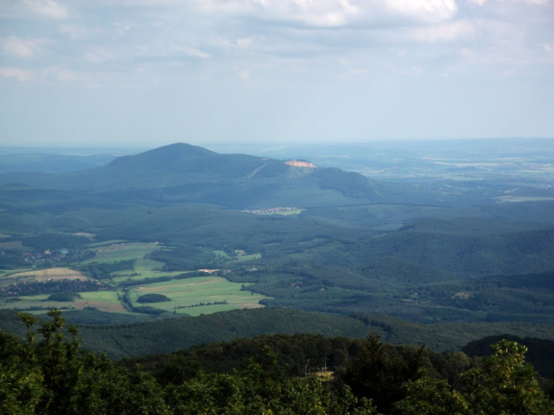
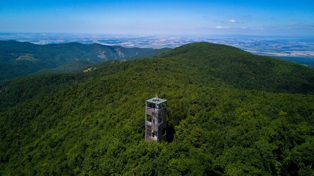
Csóványos is located on the boundary of Pest and Nograd Counties and is the highest point in both counties, standing at 3,077 feet above sea level. The mountain is composed of ancient volcanoes that developed more than 19 million years ago. Csóványos and its adjacent mountains emerged during the eruption, while the lakes sank, forming Altar Valley Stream. The mountain is distinguished by dense forest cover atop spectacular granite formations. Csóványos features a number of hiking paths that go to the peak. At the mountain's summit, a 23-meter-tall geodetic tower was built. The High Tatra may be seen from the peak of Csóványos in clear weather. The railways that connect the mountain to the Coal Creek Valley provide access to Csóványos.
The mountain is located in the Ipoly River basin, which is a cross-border river between Slovakia and Hungary, with the middle and lower basins on Hungarian territory. The basin of the Hungarian territory covers an area of 1,521 square kilometers surrounded by the hills of Nograd County, the Cserhat Mountains, and the Borzsony Mountains. The summit of Csóványos is part of the Börzsöny mountain range, located in the Danube-Ipoly National Park in the north of Hungary; It is one of the ten most famous national parks of Hungary, established with the aim of protecting forested hills as well as riparian and lowland habitats.
Height: 3077 feet
Location: the border of Pest and Nograd Counties


