Dawa River

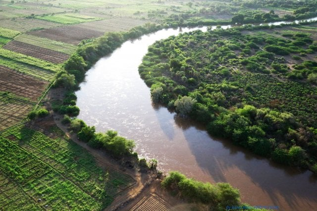
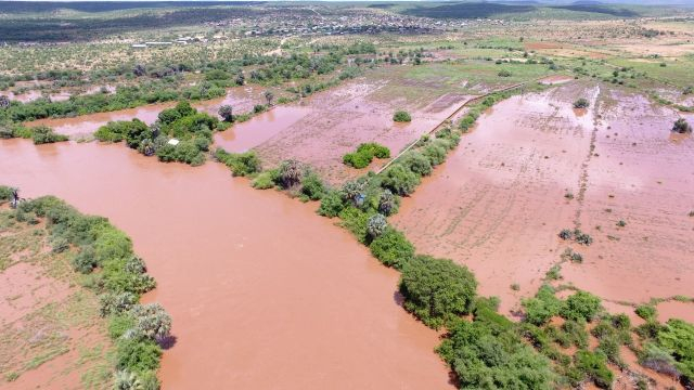
The Dawa River flows through East Africa and covers an area of 58,961 km2. It flows through three major countries: Kenya, Ethiopia, and Somalia, with Ethiopia receiving 81% of the flow. The river's proximity to multiple volcanic-tectonic events has resulted in a complex geological environment, as evidenced by its diverse lithology and structural framework. The broad river has gentle slopes on both sides of its exposed bedrock. The Dawa river flows south-east, forming part of the Ethiopia-Somalia border as well as part of the Ethiopia-Kenya border. The only significant off-flowing rivers to Dawa are the Awata, Digati, and Mormora.
The Dawa River is home to thousands of animals and plants, as it is fed by a number of seasonal rivers and streams. The riverine forest's largest trees can be found along the lower section of the Dawa River. Diospyros Mespliformis, Ficus sycamorus, Mimusops kummel, Tamarindus indica, and African mahogany Trichilia emetica are among them. Ficus capreaefolia shrubs cover the majority of the river bank, while bushland and thickets cover the majority of the wachile plain. During the long dry season, most wildlife is scarce, making plants like Acokanthera schimperi, Dobera glabra, Euclea racemosa schimperi, and Salvadora persica abundant and visible. Borena people have developed cattle and sheep farming skills as a result of crops being too dry to grow during the extended dry season.
Length: 450 km (280 mi)


