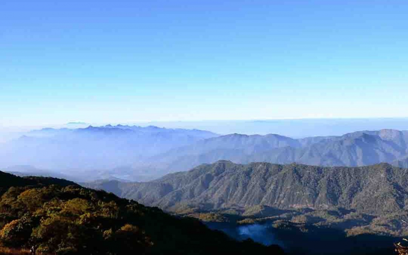
Doi Pha Hom Pok

Pong Nam Ron, Fang District, Chiang Mai 50110, Thailand with a height of 2,296 meters, Doi Pha Hom Pok is Thailand's second tallest peak. The Doi Pha Hom Pok National Park encompasses the mountain, which is located along the Burmese border in Chiang Mai. Its name means 'blanket mountain,' referring to the dense forest that can be seen at higher heights.
The lush forests that encircle the mountain support an abundance of ferns, lichens, and mosses. The mountain is also home to a plethora of orchid species. On the mountain, mixed deciduous forests coexist with dry dipterocarp forests at lower elevations. There are around 300 bird species as well as mammals such as wild boar, macaques, gibbons, and barking deer. At the foot of the mountain, there are various geysers and springs, some of which are major tourist attractions. On the mountain, there are several waterfalls, including Tat Mok and Bhoo Muan. The mountain's tourism operations are well-coordinated in order to protect the ecosystem's mainly intact state.
Elevation: 2,296 meters
Location: Pong Nam Ron, Fang District, Chiang Mai, Thailand


