Top 4 Highest Mountains in Thailand
Thailand, a Southeast Asian country, has borders with Myanmar (Burma), Cambodia, Laos, and Malaysia, as well as the Andaman Sea and the Gulf of Thailand. Visit ... read more...the nation for these reasons. The majority of Thailand's mountain ranges are found in the north and northeast. The country has an average altitude of 287 meters, with the highest point being Doi Inthanon at 2,565 meters and the lowest point being 0 meters on the Gulf of Thailand.
-
Thailand's highest peak, Doi Inthanon, rises to a height of 2,565 meters. Doi Luang, which translates to "Big Mountain" in Thai, was the mountain's prior name. The Mae Ya waterfall, for example, is located in the lower and mid-elevations of the mountain. The mountain's top reaches are covered in a dense canopy of montane forests, which are dominated by oaks, tea trees, and magnolia trees. Plants including orchids, lichens, mosses, and ferns thrive in the deep canopy. Deciduous woods can be found at lower elevations.
The Doi Inthanon National Park encompasses the entire mountain and neighboring territories, as well as their flora and fauna. Over 400 bird species call the mountain home, including rare species found only in a few of Thailand's mountains. The green-tailed sunbird and the ashy-throated warbler are two examples of such birds. The mountain is home to gorals, bears, and deer, as well as snakes and other tiny animals.
The mountain is the source of the Ping River and its tributaries. Because the mountain's slopes are particularly fruitful, the local communities have used them for agricultural purposes. In the 1970s, the military constructed a tarmacked road on the mountain, making tourism activities easier and more accessible.
Elevation: 2,565
Location: Chiang Mai, Thailand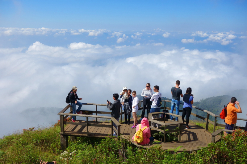
https://www.mychiangmaitravel.com/ 
https://www.thainationalparks.com/ -
Pong Nam Ron, Fang District, Chiang Mai 50110, Thailand with a height of 2,296 meters, Doi Pha Hom Pok is Thailand's second tallest peak. The Doi Pha Hom Pok National Park encompasses the mountain, which is located along the Burmese border in Chiang Mai. Its name means 'blanket mountain,' referring to the dense forest that can be seen at higher heights.
The lush forests that encircle the mountain support an abundance of ferns, lichens, and mosses. The mountain is also home to a plethora of orchid species. On the mountain, mixed deciduous forests coexist with dry dipterocarp forests at lower elevations. There are around 300 bird species as well as mammals such as wild boar, macaques, gibbons, and barking deer. At the foot of the mountain, there are various geysers and springs, some of which are major tourist attractions. On the mountain, there are several waterfalls, including Tat Mok and Bhoo Muan. The mountain's tourism operations are well-coordinated in order to protect the ecosystem's mainly intact state.
Elevation: 2,296 meters
Location: Pong Nam Ron, Fang District, Chiang Mai, Thailand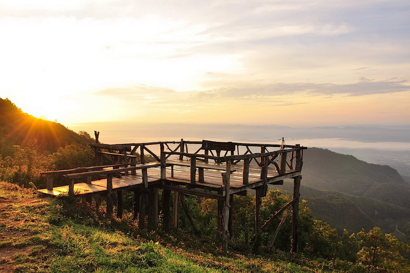
https://www.mychiangmaitravel.com/ 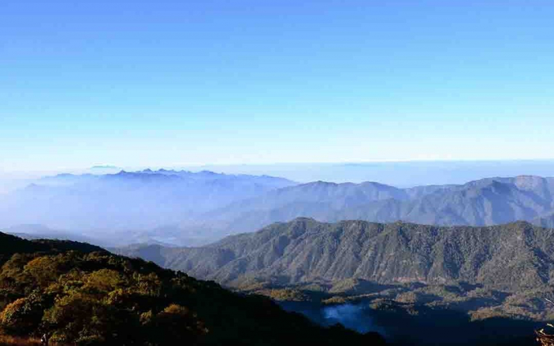
https://www.easydaythailand.com/ -
Doi Chiang Dao is Thailand's third tallest peak, standing at 2,225 meters. The mountain is part of the broader Shan Hills' Daen Lao Range. The limestone monster, estimated to be 250 million years old, stands on the plains where Chiang Dao town is located. The mountain is a popular spot for bird watching, with uncommon species such as Hume's pheasant and Rusty-napped Pitta. Rare flowers and butterflies can also be found on the mountain.
The peak is located within the Chiang Dao National Park, which also manages all tourism operations within its boundaries. The mountain contains a variety of forest types and is also home to a tiny indigenous hill tribe. The mountain's flora and fauna are unaffected.
Climbing Doi Chiang Dao, also known as Doi Luang Chiang Dao, near Chiang Mai, is sometimes regarded as northern Thailand's best one-day walk. This peak, the country's third tallest, is accessible by a difficult uphill walk. It is recommended for you to bring plenty of water and snacks because the roundtrip takes about eight hours.
Elevation: 2,225 meters
Location: Chiang Dao, Thailand

https://www.justgola.com/ 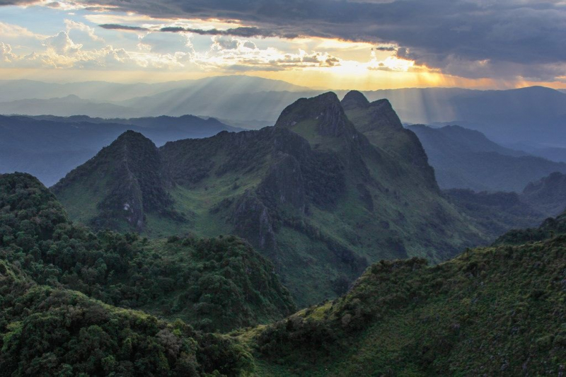
pinterest.com/pin/179299628894776909/ -
With a height of 2,120 meters, Phu Soi Dao is Thailand's fifth tallest peak. Along the border with Laos, the peak is part of the Luang Prabang mountain range. The same-named 5-tier waterfall atop the mountain is probably one of the peak's most popular attractions.
You can spend the night at Larn Paa Son after a 4-5 hour climb up the rocky trail. On their route to Larn Paa Son, visitors should stop at Sai Tip waterfall to see the moss and lichen-covered cliff. The mountain is known for its virgin forests, which are predominantly pine trees, as well as its numerous rivers and streams. The peak is surrounded by the Phu Soi Dao National Park, which is home to a diverse range of flowers and birds.
Tres species found in the forest include Pinus kesiya, Betula alnoides, Schima wallichii, and Shorea siamensis. On Phu Soi Dao, Utricularia spinomarginata and Utricularia phusoidaoensis are indigenous flora.
Visitors can travel from Phitsanulok to Wat Bot and Ban Pong Cae on the highway, then to Chat Trakan District and finally to Phu Soi Dao for a total distance of 177 kilometers, or from Phitsanulok to Nakhon Thai District, then to Chat Trakan, and finally to Phu Soi Dao for a total distance of 154 kilometers.Elevation: 2,120 meters
Location: Huai Mun, Nam Pat District, Thailand

https://commons.wikimedia.org/ 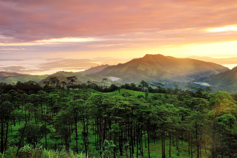
https://www.tourismthailand.org/


