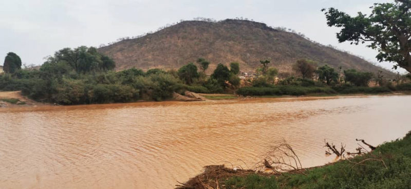
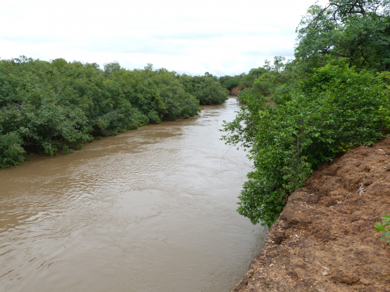
Falémé River


Falémé River, a river in western Africa, rises in the uplands of northern Guinea, east of the Fouta Djallon massif, and flows roughly north-northeast to enter Mali. It then turns northwest to form the Mali–Senegal border for the rest of its course to the Sénégal River, except for a slight detour across a corner of western Senegal. It is approximately 250 miles (400 km) long and, although interrupted by rapids, is partially navigable from July to September. Its basin has high rainfall, and there is some alluvial gold along its valley. The major towns along the river are Satadougou (Mali) and Kidira (Senegal).
The Falémé River is around 650 kilometers long and drains a basin of 28,900 square kilometers. Its source is located at an altitude of 800 meters in the northern portion of the Fouta Djallon mountains. The West African Monsoon brings the majority of the rain to the highlands between May and October. August is usually the wettest month of the year. The river's flow is very seasonal, with the highest flow happening in September and the lowest flow being between December and June. Between 1904 and 1984, the river's average annual discharge was 6.59 km3.
Length: 650 km