


Top 6 Longest Rivers in Mauritania

Mauritania is a nation on Africa's Atlantic coast. Mauritania connects the North African Maghrib (which encompasses Morocco, Algeria, and Tunisia) to the ... read more...westernmost part of Sub-Saharan Africa, both geographically and culturally. Much of Mauritania is inside the Sahara desert, and before the 1970s droughts that afflicted much of Africa, a major section of the population remained nomadic. The country’s mineral wealth includes large reserves of iron ore, copper, and gypsum, all of which are now being exploited, as well as some oil resources. Let's find out the list of the longest rivers in Mauritania.
-
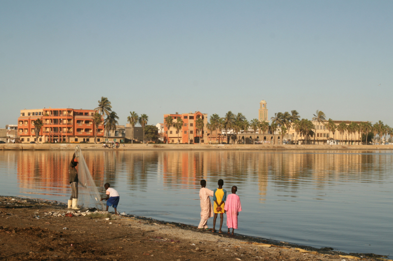
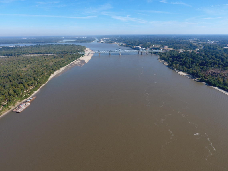
The Sénégal River is one of the longest rivers in Mauritania that runs for 1,020 km (1,641 km). It has a drainage basin of 174,000 square miles (450,000 square km). Two of the river's three headstreams originate in Guinea's Fouta Djallon highlands, after which it travels northwest before draining into the Atlantic Ocean. It constitutes the border between Mauritania to the north and Senegal to the south for 515 miles (830 kilometers) of its journey.
Reports of The Sénégal River's presence as the "River of Gold" reached European navigators in the Middle Ages. The river served as a pathway for French colonial influence from the 16th to the 20th centuries. At least as early as 1558, French ships reached the estuary. Reconnaissance groups traveled 160 miles upriver from a French fort erected in 1638 to Podor. In 1659, on N'Dar Island in the estuary, a bigger fort was built and called Saint-Louis-du-Sénégal after the French monarch Louis IX (St. Louis).
Length: 1.800 km
wikipedia.org 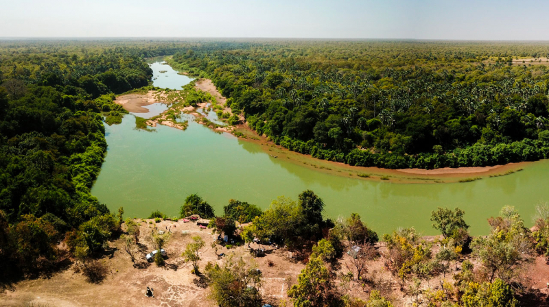
niokolodge.sn -
Falémé River, a river in western Africa, rises in the uplands of northern Guinea, east of the Fouta Djallon massif, and flows roughly north-northeast to enter Mali. It then turns northwest to form the Mali–Senegal border for the rest of its course to the Sénégal River, except for a slight detour across a corner of western Senegal. It is approximately 250 miles (400 km) long and, although interrupted by rapids, is partially navigable from July to September. Its basin has high rainfall, and there is some alluvial gold along its valley. The major towns along the river are Satadougou (Mali) and Kidira (Senegal).
The Falémé River is around 650 kilometers long and drains a basin of 28,900 square kilometers. Its source is located at an altitude of 800 meters in the northern portion of the Fouta Djallon mountains. The West African Monsoon brings the majority of the rain to the highlands between May and October. August is usually the wettest month of the year. The river's flow is very seasonal, with the highest flow happening in September and the lowest flow being between December and June. Between 1904 and 1984, the river's average annual discharge was 6.59 km3.
Length: 650 km
ccij.io 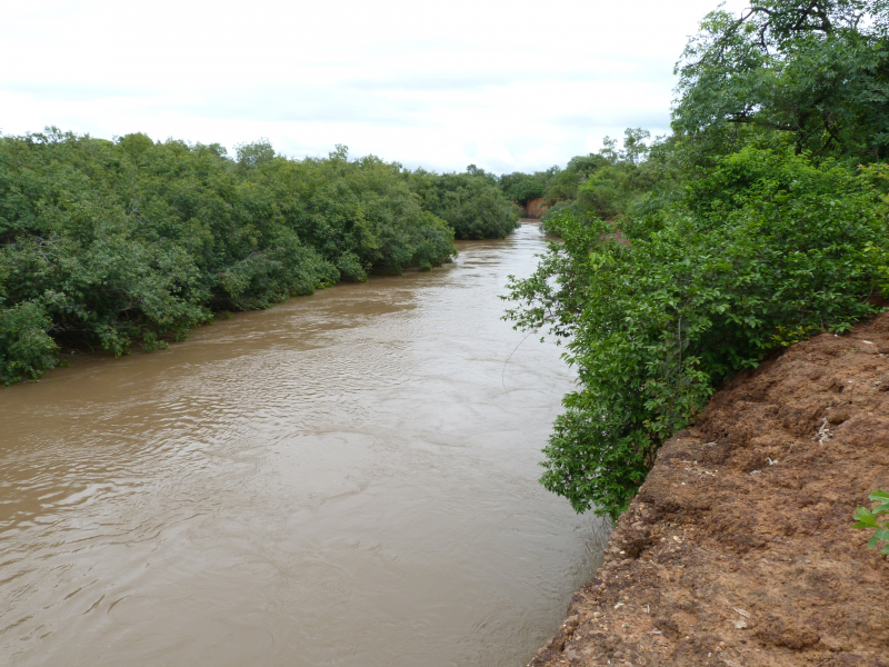
commons.wikimedia.org -
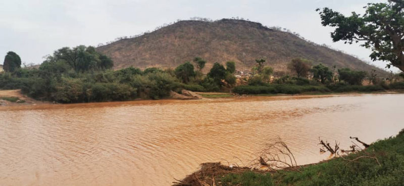
Bafing River ranks 3rd on the list of the longest rivers in Mauritania. Bafing River is a river in western Africa that originates in Guinea's Fouta Djallon range and runs northeast for roughly 200 km (320 km). It bends around to run about north-northwest after passing through Bafing Makana, Mali's sole significant riverside community, to become the Sénégal River at its confluence with the Bakoye River slightly south of Bafoulabé, Mali. It's around 350 miles (560 kilometers) long and impassable. It flows down from the peak to the Sénégal River basin via the intermediate sandstone Mandingues Mountains.
Traditional floods from The Bafing River near the Senegal River have been relied on to feed local crops. A drought in the 1970s, however, forced the construction of dams on both the Bafing and Senegal rivers. The Manantali hydroelectric dam, constructed in 1987, is located 90 kilometers upstream of Bafoulabé on the Bafing River. Lake Manantali, Mali's largest manmade lake, is formed by it. During the dry season, the dam holds 11.3 cubic kilometers of water, which is utilized to power the turbines. As a result, the maximum flood downstream of the dam has been lowered, although a flow of between 150 and 200 m3/s is maintained throughout the dry season.
Length: 563 km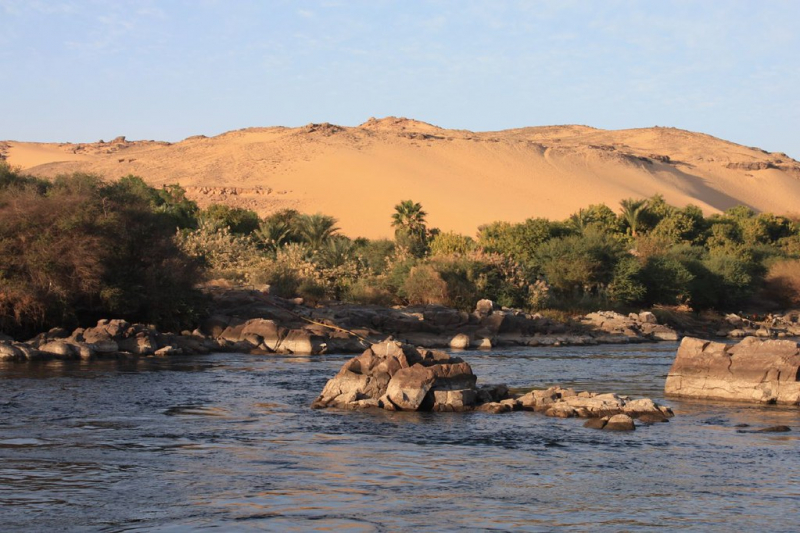
flickr.com 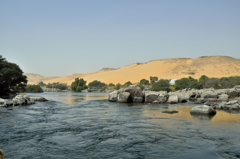
commons.wikimedia.org -
Bakoye River, a river in western Africa, rising in the Fouta Djallon massif of Guinea and flowing generally northeast through the sandstone Mandingues Hills to the Mali border. It then flows north-northwest through less elevated terrain to be fed by the Baoulé River. It turns west down a river valley until, at Bafoulabé, Mali, it merges with the Bafing River to form the Sénégal River. The Bakoye is about 250 miles (400 km) long and is unnavigable. It is the only river rising in the area around Siguiri, Guinea, that does not flow into the Niger River. Guinea gold from Bouré, on the Bakoye’s headstreams, was once an important export.
The Bakoye originates at a height of 760 meters in Guinea's granite Monts Ménien, northwest of Siguiri. The river runs north and forms part of Guinea's and Mali's international boundary. It then meanders through the Manding Plateau until joining the Baloué, which rises to the west of Bamako, as its main affluent. The Bakoye River is 560 kilometers long and drains an area of 85,600 square kilometers. The West African Monsoon's strength varies greatly from year to year, causing significant fluctuations in the Bakoy River's flow.
Length: 560 km
flickr.com 
news.mongabay.com -
Khatt Atui ranks 5th on the list of the longest rivers in Mauritania. This dry riverbed begins near Aousserd in the disputed area of Western Sahara and goes southwest through Mauritania's Dakhlet Nouadhibou and Inchiri Regions, ending in the Banc d'Arguin National Park near Baie d'Aouati on the Atlantic coast east of Iouik. The Atui basin, as defined by the Global Environment Facility's Transboundary Waters Assessment Programme, spans 83,295 square kilometers and is home to an estimated 99,599 people. The wadi is home to the Mauritanian communities of Chami (on the highway between Nouakchott and Nouadhibou), Imkebden, and N'Talfa, as well as the Tasiast gold mine.
In Khatt Atui, the lower portions of a huge ancient river, named the Tamanrasett paleoriver, that flowed over the Sahara to the Arguin Basin during humid periods in the late Quaternary have been postulated as the location of Khatt Atui. Along the Mauritanian side of the wadi, early Neolithic archaeological sites have been discovered.
usgs.gov 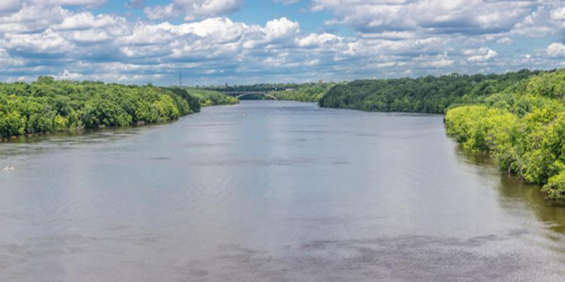
linkedin.com -
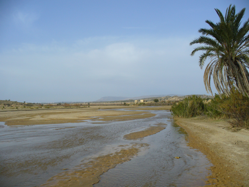
Oued Seguellil River (also Oued Séguélil, Oued Seguelil, or Oued Seguellîl) ranks 6th on the list of the longest rivers in Mauritania . It starts on the Adrar Plateau and goes south-west through the town of Atar before becoming lost in the sands. The Adrar Plateau, near Atar, is home to a many of gorges, including the oued el Abiod. The majority of these gorges discharge into the Seguellil wadi bed, leaving a network of lakes and intermittent streams in their wake. The disputed Seguellil-dam, which opened in 2019, lies 20 kilometers south of Atar. The river disappears in the sands north of the Adrar Plateau's western slopes.
In addition to agricultural development, The Oued Seguellil River is also known for having a lot of fish, helping fishermen to develop fishing on the river, giving a high income every year, the river is the place that provides water for daily life. for many people, develop hydroelectricity to supply electricity to the city, rich in mineral resources, bring a source of high economic value, contribute to improving people's life.
wikipedia.org 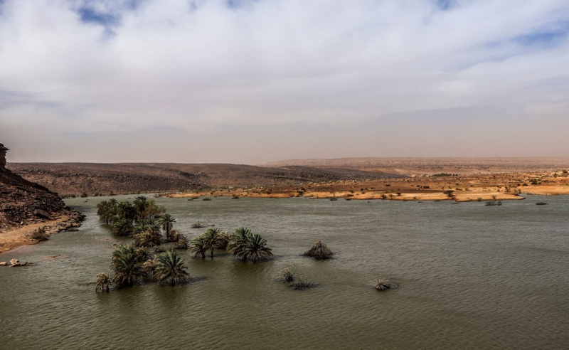
wikipedia.org


