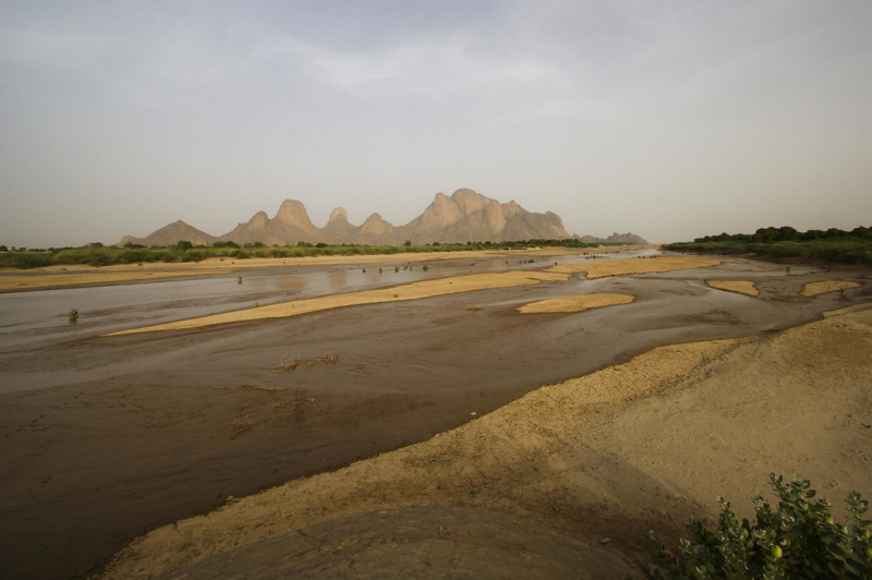
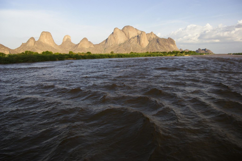
Gash River


The Gash River (Arabic: Nahr Al-Qsh) ranks 3rd on the list of the longest rivers in Eritrea that rises near Asmara. After flowing south, it swings west and, during its middle course, forms the boundary between Eritrea (north) and Ethiopia (south). It then travels to northern Sudan, where it becomes lost in the desert. It reaches the Atbara River during floods. On its upper course, it is known as the Mareb and is utilized for irrigation around Teseney, Eritrea, and Kassala, Sudan. The Gash River runs for around 300 kilometers in total (480 km).
The Gash River was historically significant as a dividing line between two independently ruled territories in the area: the Bahr negash (Tigrinya "kingdom of the sea," also known as Medri Bahri or "country of/by the sea") to the north of the river, and Tigray to the south. The Bahr negash controlled territory as far north as the Red Sea coast and as far south (and west) as the Shire, with Debarwa in modern Eritrea, around 20 miles (30 kilometers) south of Asmara, as the capital.
Length: 480 km