Top 5 Longest Rivers In Eritrea

Eritrea is a nation in Africa's Horn of Africa, bordering the Red Sea. The importance of Eritrea's coastal position in its history and culture is reflected in ... read more...its name, which is an Italianized form of Mare Erythraeum, Latin for "Red Sea." The Red Sea was a vital commercial route that Turkey, Egypt, and Italy aspired to control by conquering ports on Eritrea's coast. Let's look at the list of the longest rivers in Eritrea !
-
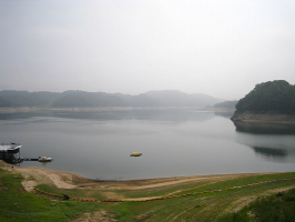
Barka River (Arabic: nahr Baraka) is one of the longest rivers in Eritrea. It is a tributary of the Nile that runs from Eritrea's Highlands to Sudan's lowlands. It springs approximately outside Asmara and runs northwest via Agordat, covering a distance of nearly 640 kilometers. Near the Sudanese border, the river combines with the Anseba River. The Barka River in Sudan flows seasonally to a Red Sea delta near the town of Tokar.
Four large rivers and countless streams flow across Eritrea's highlands. The Gash and the Tekez are two of the rivers that flow westward into Sudan. The Tekez River is a significant tributary of the Atbara River, which meets the Nile at its mouth. Only during flood season does the Gash River reach the Atbara. The Tekez forms part of Eritrea's boundary with Ethiopia as it passes the western lowlands, while the upper stream of the Gash, known as the Mereb River, marks the plateau's border. The Baraka and the Anseba are the other two significant rivers that drain Eritrea's highlands. Both rivers travel northward towards a marshy region on Sudan's eastern coast, but they never reach the Red Sea. Several seasonal streams run eastward from the plateau to the Eritrean coast, where they meet the sea.Length: 640 km
tunturimuija.blogspot.com 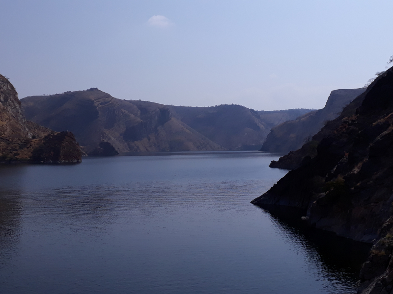
wikiwand.com -
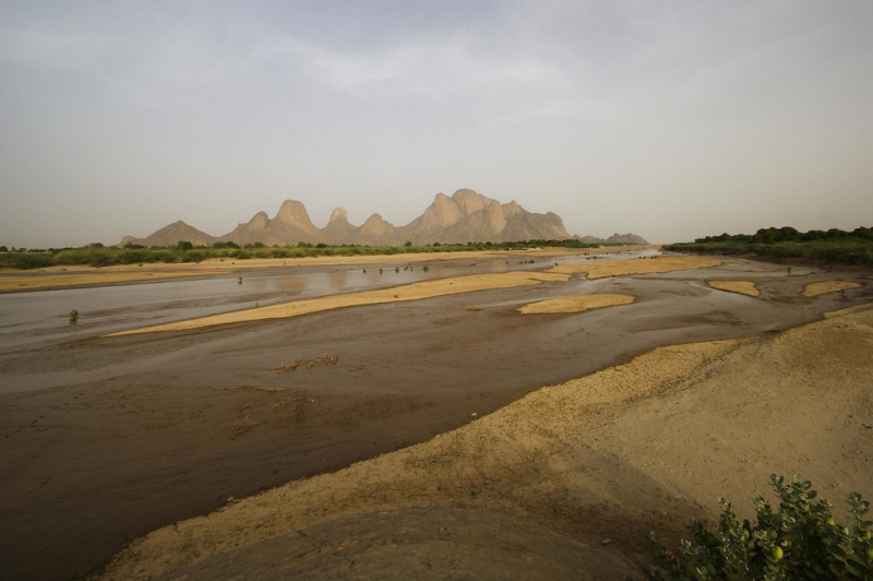
Tekeze River ranks 2nd on the list of the longest rivers in Eritrea. Tekezé River, sometimes known as the Takkaze River, is a large Ethiopian river. It constitutes a stretch of Ethiopia's westernmost boundary with Eritrea for part of its journey. In Eritrea, western Ethiopia, and eastern Sudan, the river is known as the Setit. It is 608 kilometers (378 miles) long, according to Ethiopian Central Statistical Agency documents. The canyon it has carved out is the deepest in Africa and one of the deepest in the world, with depths of over 2000 meters at certain spots.
From the confluence of the Tomsa with the Tekezé at 14°11′N 37°31.7′E to the tripoint between the two countries and Sudan at 14°15′27′′N 36°33′37′′E, the Tekezé River rises in the central Ethiopian Highlands near Mount Qachen within Lasta, where it flows west, north, then west again, forming the westernmost border of Ethiopia and Eritrea. It joins the Atbarah River, a tributary of the Nile, after entering northeastern Sudan at the tripoint. The Tekezé may be the genuine upper course of the Atbarah, given the latter takes the lengthier route before the two rivers' junction.
Length: 608 km
wikipedia.org 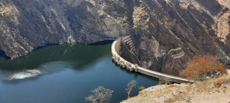
ethiopianmonitor.com -
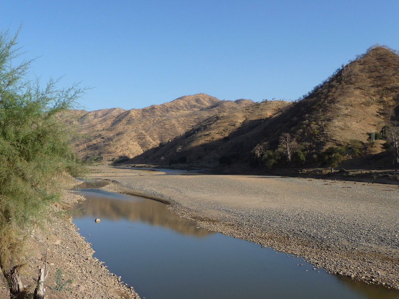
The Gash River (Arabic: Nahr Al-Qsh) ranks 3rd on the list of the longest rivers in Eritrea that rises near Asmara. After flowing south, it swings west and, during its middle course, forms the boundary between Eritrea (north) and Ethiopia (south). It then travels to northern Sudan, where it becomes lost in the desert. It reaches the Atbara River during floods. On its upper course, it is known as the Mareb and is utilized for irrigation around Teseney, Eritrea, and Kassala, Sudan. The Gash River runs for around 300 kilometers in total (480 km).
The Gash River was historically significant as a dividing line between two independently ruled territories in the area: the Bahr negash (Tigrinya "kingdom of the sea," also known as Medri Bahri or "country of/by the sea") to the north of the river, and Tigray to the south. The Bahr negash controlled territory as far north as the Red Sea coast and as far south (and west) as the Shire, with Debarwa in modern Eritrea, around 20 miles (30 kilometers) south of Asmara, as the capital.
Length: 480 km
flickr.com 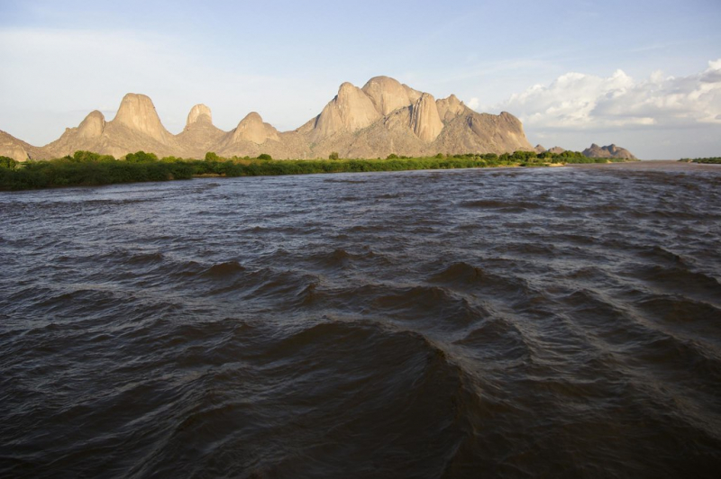
flickr.com -
The Anseba River is a tributary of the Barka River in Eritrea with a length of 346 kilometers. It rises in the Eritrean Highlands outside Asmara and flows in a northwestern direction through Keren. It merges with the Barka River near the border with Sudan.
In the north of Eritrea, the highlands narrow and then end in a system of hills, where erosion has cut down to the basement rock. To the east, the plateau drops abruptly into a coastal plain. North of the Gulf of Zula, the plain is only 10 to 50 miles (15 to 80 km) wide, but to the south, it widens to include the Danakil Plain. This barren region contains a depression known as the Kobar Sink (more than 300 feet below sea level), the northern end of which extends into Eritrea. In the Anseba River, the coastal plain and the Danakil Plain are part of the East African Rift System and are sharply delimited on the west by the eastern escarpment of the plateau, which, although deeply eroded, presents a formidable obstacle to travelers from the coast.
Length: 346 km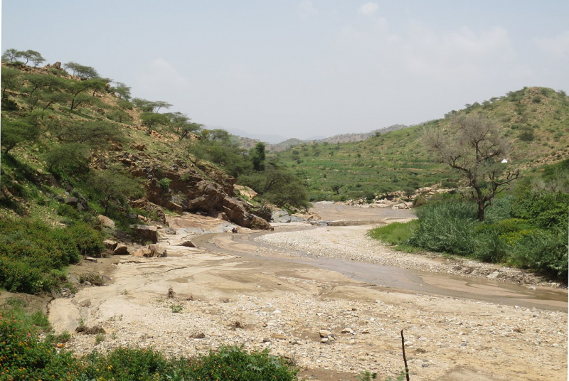
wikipedia.org 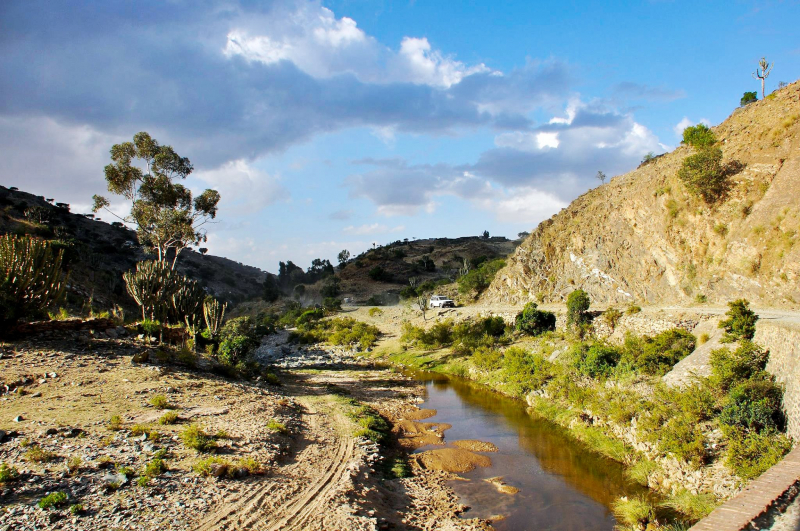
twitter.com -
The Aligide River is a watercourse in Eritrea. It has its source a short distance outside of the national capital, Asmara. The river flows down the Eastern Escarpment of Eritrea until the small town of Foro near the Red Sea coast. At this point, the Aligide merges with two other rivers, the Comaile River and the Haddas River. It continues from there until it empties into the Red Sea.
Other seasonal rivers that flow toward the eastern coastal plains includes the Lebka river, the Felket river, the Haddas river, the Komayle river, the Ali Ghede river, and the Siyah Ghede river. All these rivers are seasonal, and they remain dry for most of the year. The rivers Ali Ghede and Siyah Ghede merge in the south-eastern foothills of Adi-Rosso mountain ranges. These two rivers form a further confluence with the Haddas river near the town of Foro that flows to the Red Sea. The Haddas river originates in the escarpments north of the town of Adi Keyih and it flows northward up to the Abbahani mountains where it turns eastward.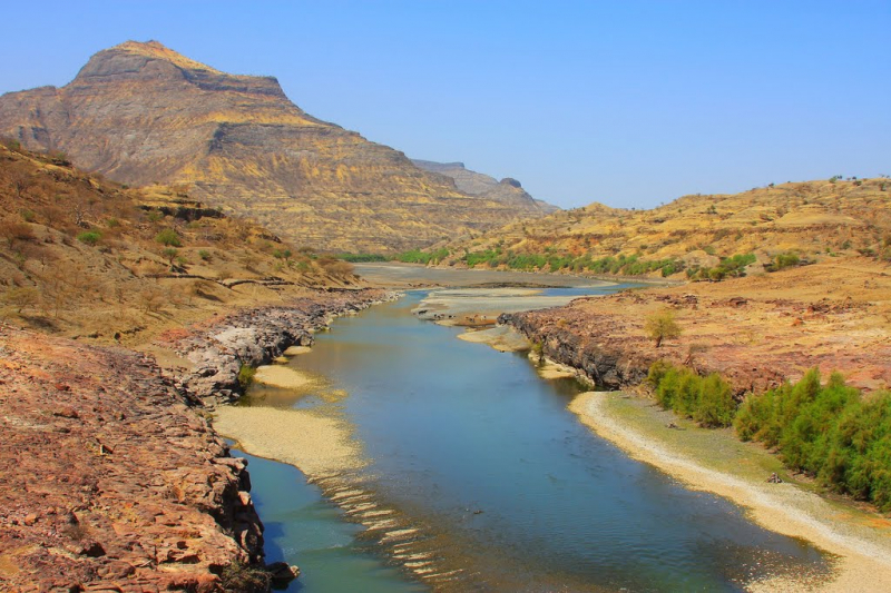
mapio.net 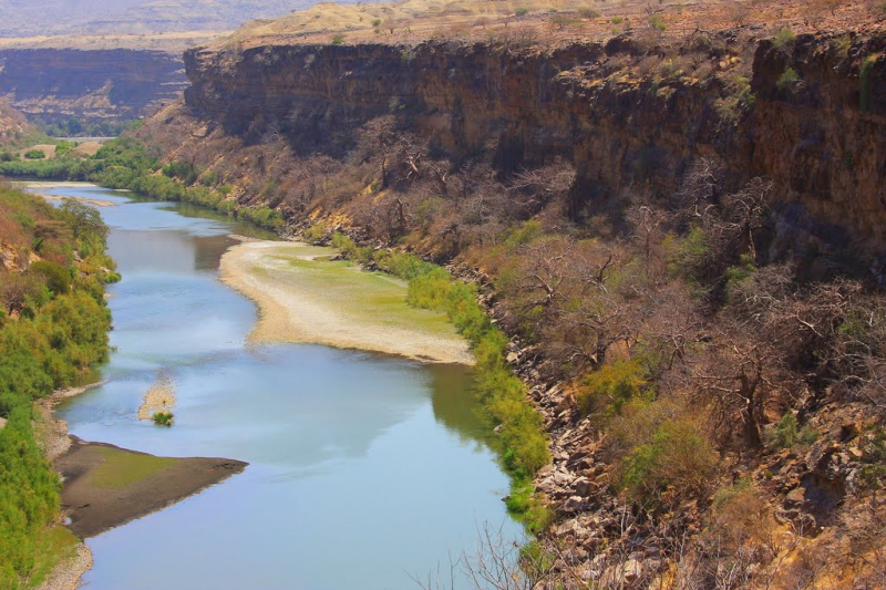
mapio.net