Gelderse IJssel

Top 7 in Top 8 Longest Rivers in Netherlands
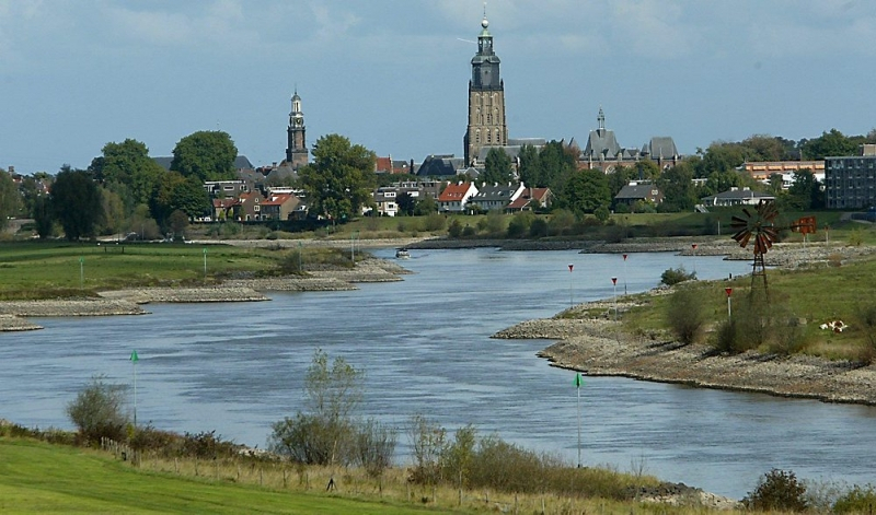
The Gelderse IJssel is a Dutch distributary of the Rhine River that runs northward and eventually empties into the IJsselmeer (known as the Zuiderzee before the Afsluitdijk was completed in 1932), a North Sea natural harbour. It flows more quickly into the east-south waterway that circles the Flevopolder in Flevoland, which is kept at a depth of 3 meters below sea level. After that, the water is pumped into the IJsselmeer. It is located in the provinces of Gelderland and Overijssel in the Netherlands. Isala was the name given to the river by the Romans. It originates at Westervoort, on Arnhem's eastern outskirts.
The average daily discharge varies a lot. Over lengthy periods of time, it has been estimated to be around 300 cubic meters per second. Depending on the velocity of the water coming in from upstream and the weirs west of Arnhem that control the water taken in, it can be as low as 140 and as high as 1800. The Pannerdens Kanaal, the only inflow, is controlled by them (shared with the Nederrijn).
The Gelderse IJssel meanders as a lowland river with a decreasing velocity. Man has chopped off certain bends (and spurs of land, hank) around Rheden and Doesburg, lowering the length from 146 km to 125 km, but not as dramatically as the Meuse and Great Ouse. Deposition of sediment to form islands on the outside of bends has been curtailed since the late nineteenth century.
Length: 125 km (78 mi)


