


Top 8 Longest Rivers in Netherlands

The Netherlands is a small country in Western Europe with a dense population. Lowland and flat terrain characterize the country, with less than half of the ... read more...territory rising over one meter above sea level (hence the name "Netherlands"). Man-made land covers a large portion of the land area below sea level. Despite its low elevation and dense population, the Netherlands is the world's second-largest agricultural exporter. The major European rivers and their tributaries shaped much of the Netherlands. The Rhine, the country's main river, also divides the country into north and south. In the Netherlands, rivers serve both governmental and economic purposes. Today, Toplist brings to you top 8 longest rivers in the Netherlands.
-
The Rhine is one of Europe's major rivers. The river starts in the Swiss canton of Graubünden in the southeastern Swiss Alps, passes across the Swiss-Liechtenstein, Swiss-Austrian, Swiss-German, and then Franco-German borders, then flows largely north through the German Rhineland and the Netherlands until emptying into the North Sea. With a length of around 1,230 km (760 mi) and an average discharge of about 2,900 m3/s (100,000 cu ft/s), it is the second-longest river in Central and Western Europe (after the Danube).
The Rhine and the Danube formed a large part of the Roman Empire's northern inland border, and the Rhine has long been a major navigable waterway for moving trade and supplies deep inland. The various castles and defenses built along it attest to its prominence as a waterway in the Holy Roman Empire.The Rhine flows through Arnhem, Nijmegen, Utrecht, and Rotterdam, among other cities in the Netherlands. The Rhine is divided into four sections: the Lower Rhine, the Middle Rhine (which runs through Germany), the Upper Rhine (which runs through Basel), and the High Rhine (which runs into Lake Constance). The Rhine is the main source of domestic water for most of the cities it passes through. The Rhine's waters have been used for agriculture in the Netherlands. It also serves as a vital border between Switzerland, Germany, Liechtenstein, and France, as well as a vital transportation corridor for all six countries.
Length: 1230 km (760 mi)
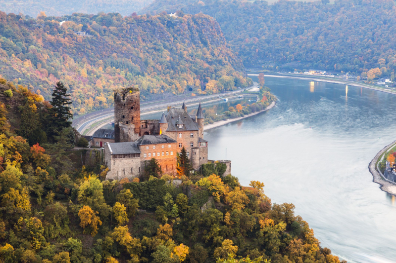
Photo: tripsavvy 
Photo: viator -
The Meuse River, with a length of 575 miles, is the second-longest river in the Netherlands and one of the greatest rivers in Europe. It begins in France and continues across the Netherlands and Belgium until emptying into the North Sea. The river is known in the Netherlands as the "Masa," whereas in France it is known as the "Mosa." In the north, it forms the Belgian-Dutch border. The river flows through Venlo in the Netherlands before turning west and running parallel to the Waal, creating part of the Rhine-Meuse-Scheldt delta. The Afgedamde Maas and Bergse Maas are then separated around Heusden, with the former joining the Waal.
The Meuse is navigable and is an important part of the Netherlands' navigation system. It also serves as a major source of water for various Belgian departments, provinces, and municipalities, as well as for France and the Netherlands. The river is also included in the documentary "The River People" and is mentioned in the opening stanza of Germany's old national song.
Length: 925 km (575 mi)
Photo: cruisecritic 
Photo: amsterdamiww -
The Ems is a river in Germany's northwest. It flows through the states of North Rhine-Westphalia and Lower Saxony before emptying into the Wadden Sea's Dollart Bay. It is 362.4 kilometers long in total (225.2 mi). The Ems estuary serves as the state border between the Lower Saxon region of East Friesland (Germany) and the province of Groningen (Netherlands), the exact course of which was the subject of a border dispute between Germany and the Netherlands (addressed in 2014).
The river's source is in North Rhine-southern Westphalia's Teutoburg Forest. In Lower Saxony, the brook grows to be a significant river. The river Emsland is called after the swampy region of Emsland. The Hase River, the Ems's greatest tributary, joins it in Meppen. It then flows north into East Frisia, close to the Dutch border. It pours into Dollart Bay (a national park) in Emden and then continues as a tidal river towards Delfzijl, the Dutch city.
The Ems marks the border between the Netherlands and Germany between Emden and Delfzijl, and was the subject of a minor disagreement: the Dutch believed the line ran through the geographical center of the estuary, while the Germans said it ran through the deepest channel (which is close to the Dutch coast).Length: 362.4 km (225.2 mi)
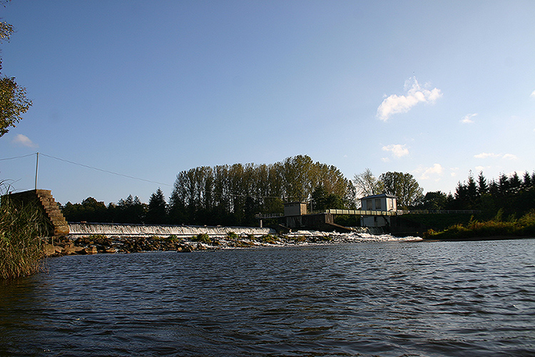
Photo: wikipedia Youtube: amSeenhafen -
The Scheldt is a 350-kilometer (220-mile) river that runs through northern France, western Belgium, and the southern Netherlands, eventually emptying into the North Sea. Its name comes from an adjective that means "shallow" in Old English, "shoal" in Modern English, "schol" in Low German, "skol" in West Frisian, and "skäll" in Swedish ("thin").
It drains one of the world's most densely inhabited areas, along with the Lower Rhine and the Meuse rivers. It serves an area that includes the agriculturally vital Flanders Plain, Belgian textile centers, northern French coalfields, and the industrial complex of Lille-Roubaix-Tourcoing as a waterway, with its numerous branch canals and navigable rivers. The Scarpe and Lys on the left (west) bank, and the Dender (or Dendre) and Rupel on the right, are the Schelde's main tributaries. The Eastern and Western Schelde (Ooster- and Westerschelde) were once separated by the islands of Noord, Zuidbeveland, and Walcheren, but the Eastern Schelde was closed off in 1866 by a dike carrying the railway to Vlissingen in the Netherlands.
Length: 350 km (220 mi)
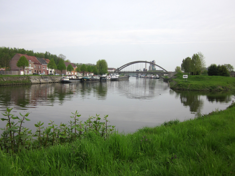
Photo: commons.wikimedia.org 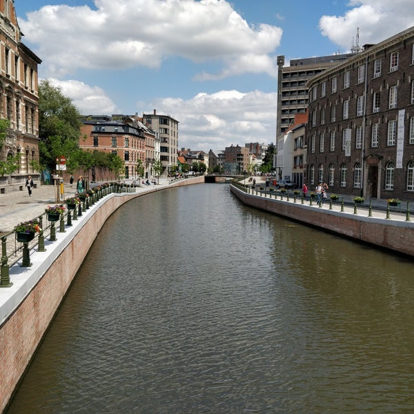
Photo: foursquare -
The Rur, sometimes known as the Roer, is a large river that runs through Belgium, Germany, and the Netherlands. It is the Meuse's right (eastern) tributary. The river runs through Germany for around 90% of its length. It is not to be confused with the Ruhr and Röhr rivers in North Rhine-Westphalia, which are tributaries of the Rhine. The Inde and the Wurm are two major tributaries of the Rur. Monschau, Heimbach, Nideggen, Düren, Jülich, Linnich, Hückelhoven, Heinsberg (all in Germany) and Roermond are among the towns along the Rur (Netherlands).
The northern part of the Rur was heavily polluted by the tailings of many German coal mines in the 1960s and 1970s. There were no fish or other organisms to be found, and swimming in the river was dangerous. Foam flakes swamped areas of Roermond on a regular basis. The treatment of waste water in Germany and the Netherlands substantially improved once the mines were closed. Only the river's lower reaches are still contaminated. Because the water in the upper reaches of the river is so clean, trout and more than 30 different species of fish have returned. Salmon returned to the Rur in 2004 after a 125-year hiatus.
Length: 164.5 km (102.2 mi)
Photo: commons.wikimedia 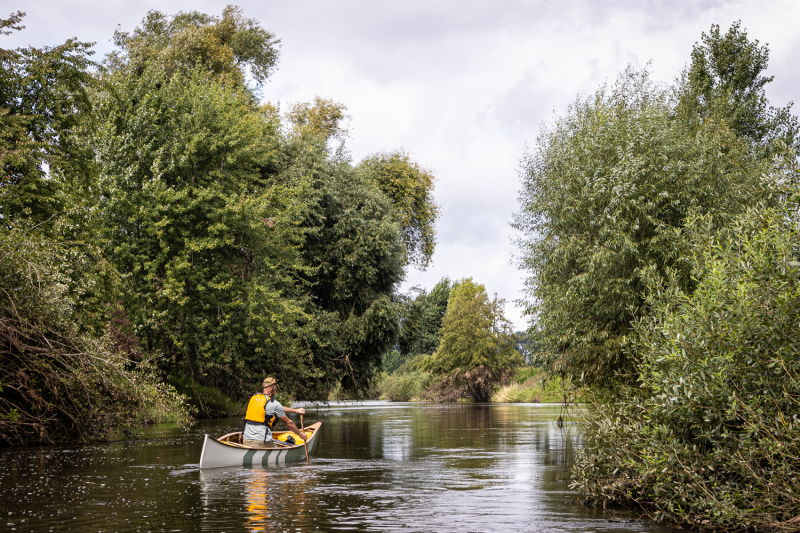
Photo: freerangercanoe -
The Dommel is a small river that flows through Belgium and the Netherlands and is a tributary of the Dieze on the left bank. It is 120 kilometers long, with 85 kilometers in the Netherlands. The Dommel takes in water from the Keersop, Tongelreep, Run, Gender and Kleine Dommel streams and unites at 's-Hertogenbosch with the Aa stream to form the river Dieze, which later flows towards the Meuse. The important cities and towns along the Dommel's route are Peer, Neerpelt, Valkenswaard, Dommelen, Eindhoven, Son en Breugel, Sint-Oedenrode, Boxtel, Sint-Michielsgestel and 's-Hertogenbosch.
The Dommel's drainage basin is part of the Meuse's drainage basin. The Donge basin, which is also part of the Meuse basin, is to the west. The Dommel basin borders the Schelde basin to the south. The Aa is located to the east. A number of rivers pour into the Meuse much further upstream to the south.
Length: 120 km (75 mi)
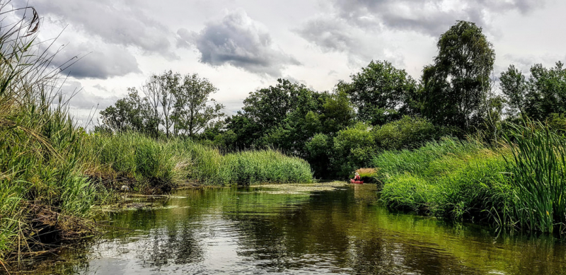
Photo: seakayakbelgium.eu 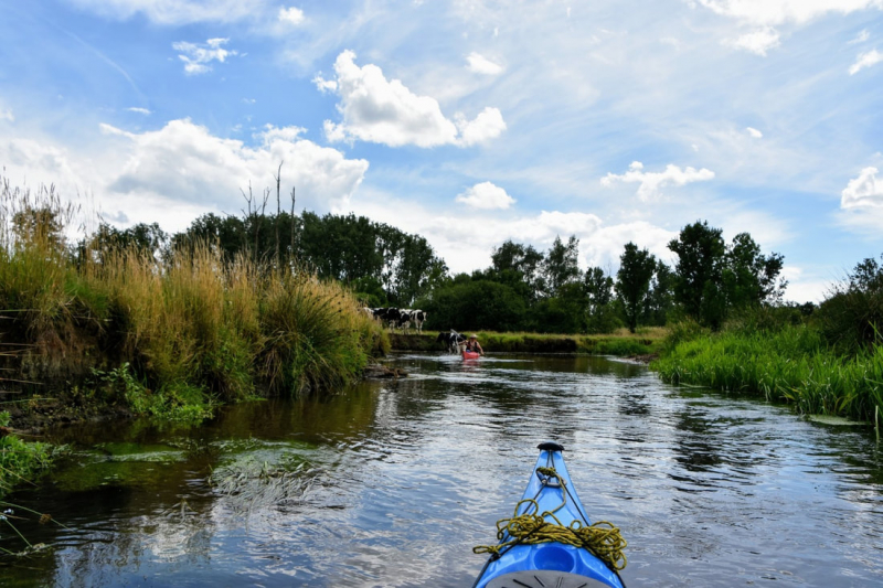
Photo: seakayakbelgium.eu -
The Gelderse IJssel is a Dutch distributary of the Rhine River that runs northward and eventually empties into the IJsselmeer (known as the Zuiderzee before the Afsluitdijk was completed in 1932), a North Sea natural harbour. It flows more quickly into the east-south waterway that circles the Flevopolder in Flevoland, which is kept at a depth of 3 meters below sea level. After that, the water is pumped into the IJsselmeer. It is located in the provinces of Gelderland and Overijssel in the Netherlands. Isala was the name given to the river by the Romans. It originates at Westervoort, on Arnhem's eastern outskirts.
The average daily discharge varies a lot. Over lengthy periods of time, it has been estimated to be around 300 cubic meters per second. Depending on the velocity of the water coming in from upstream and the weirs west of Arnhem that control the water taken in, it can be as low as 140 and as high as 1800. The Pannerdens Kanaal, the only inflow, is controlled by them (shared with the Nederrijn).
The Gelderse IJssel meanders as a lowland river with a decreasing velocity. Man has chopped off certain bends (and spurs of land, hank) around Rheden and Doesburg, lowering the length from 146 km to 125 km, but not as dramatically as the Meuse and Great Ouse. Deposition of sediment to form islands on the outside of bends has been curtailed since the late nineteenth century.
Length: 125 km (78 mi)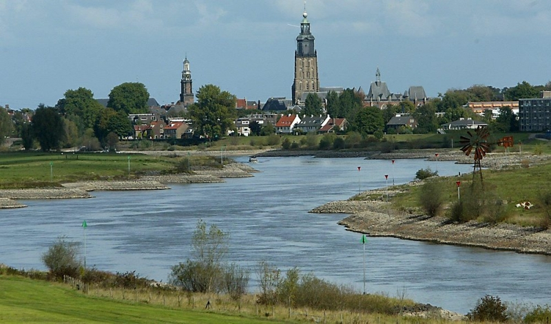
Photo: akku-lochem.nl 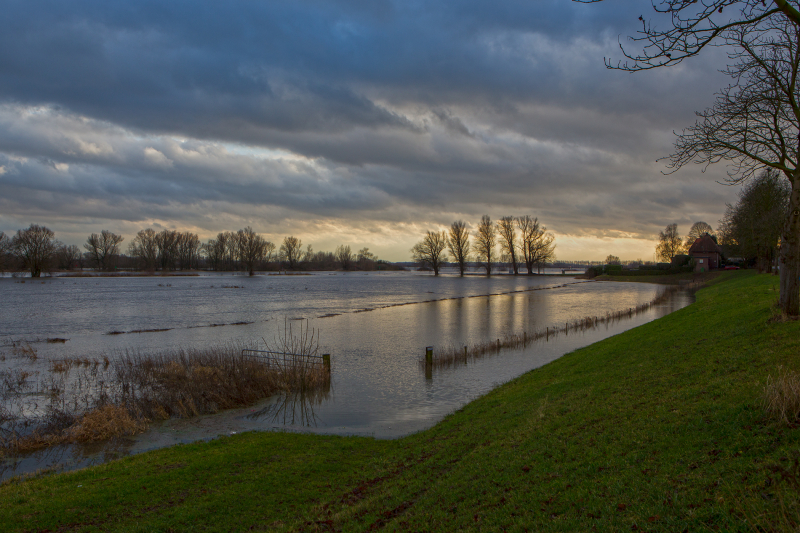
Photo: commons.wikimedia -
The Linge is a 99.8-kilometer-long river in the Betuwe region of the Netherlands, making it one of the country's longest rivers.
It begins near the German border in the village of Doornenburg. The river will dry up if there are no more pigs grazing at the castle of Doornenburg, according to mythology. The Linge flows north of Tiel to Zoelen, a tiny village, and then meanders through the Betuwe before ending in the Boven Merwede at Gorinchem. The river is barely more than a small, canalized brook until it reaches Geldermalsen. However, from Geldermalsen onwards, it takes on the appearance of a true river, replete with dikes and minor floodplains. The Linge affords picturesque places in old cities like Asperen and Leerdam, which both have intact city walls on the riverside. The river was previously a branch of the Waal, but it was severed in 1307 or 1308 at Tiel (some traces of this can still be seen). The river is passable by small boats and is a popular boating location. Waterfowl use the riverbanks as key breeding places.
In the past, this river was an important commerce route. The Rhine and Waal rivers have taken over this duty in recent years.Leghth: 99.8 km (62mi)
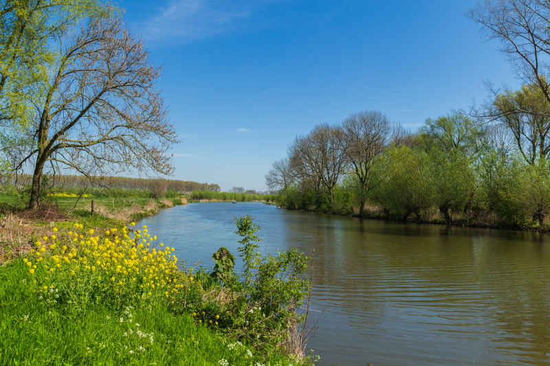
Photo: flickr 
Photo: dreamstime


