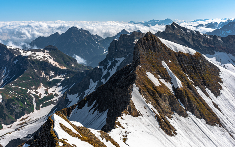
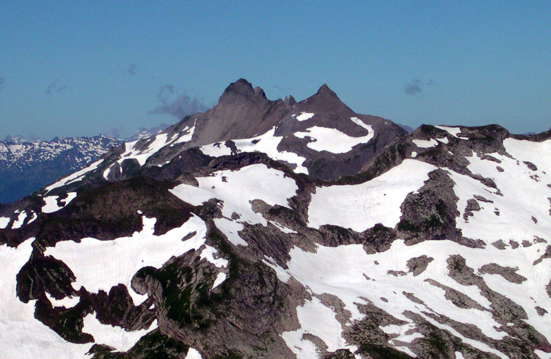
Grauspitz
The Grauspitz (Vorder Grauspitze or Vorder Grauspitze on some maps) is a mountain in the Rätikon range of the Alps on the Liechtenstein-Switzerland border. The Grauspitz is Liechtenstein's tallest mountain, standing at 2,599 meters (8,527 feet) above sea level. It's also the highest point west of the Schesaplana mountain in the Rätikon range.
Because there is no maintained trail leading to the Grauspitz, despite being Liechtenstein's highest peak, it is not very popular with climbers. Most climbers will instead choose Falknis, 2 kilometers west of the Grauspitz, or the Naafkopf, 2 kilometers east of the Grauspitz, which have better summit trails.
The mountain is situated between the Lawenatal (Triesen municipality) and the Fläscher Tal (Canton of Graubünden, municipality of Fläsch) valleys on the north and the Fläscher Tal (Canton of Graubünden, municipality of Fläsch) valleys on the south. Both sides of the Grauspitz lie in the Rhine's basin, which runs west of the peak around 7 kilometers (4.3 miles).
The most straightforward route to the summit is via the Hinter Grauspitz (Schwarzhorn) and a class 3–4 razor ridge.
Location: on the border between Liechtenstein and Switzerland
Elevation: 2,599 m (8,527 ft)


