


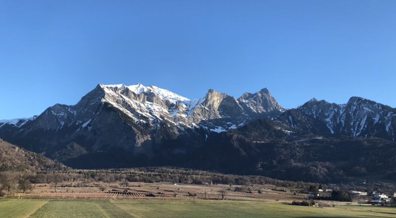
Top 4 Highest Mountains in Liechtenstein

Liechtenstein is a small European country located between Austria and Switzerland on the east bank of the Rhine River, south of Lake Constance. Low valley ... read more...areas and mountain peaks dominate the country's geography. With a height of 8,527 feet, Grauspitz is Liechtenstein's tallest peak. The country's height creates a variety of microclimates. Below is a look at some of Liechtenstein's tallest peaks.
-
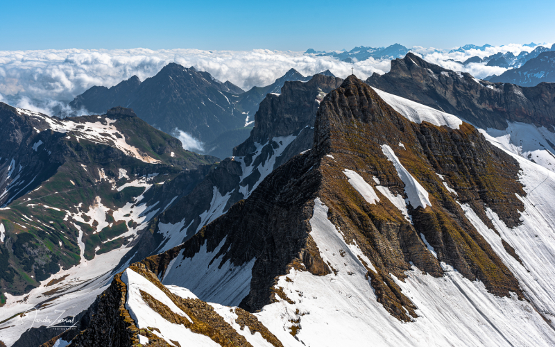
The Grauspitz (Vorder Grauspitze or Vorder Grauspitze on some maps) is a mountain in the Rätikon range of the Alps on the Liechtenstein-Switzerland border. The Grauspitz is Liechtenstein's tallest mountain, standing at 2,599 meters (8,527 feet) above sea level. It's also the highest point west of the Schesaplana mountain in the Rätikon range.
Because there is no maintained trail leading to the Grauspitz, despite being Liechtenstein's highest peak, it is not very popular with climbers. Most climbers will instead choose Falknis, 2 kilometers west of the Grauspitz, or the Naafkopf, 2 kilometers east of the Grauspitz, which have better summit trails.
The mountain is situated between the Lawenatal (Triesen municipality) and the Fläscher Tal (Canton of Graubünden, municipality of Fläsch) valleys on the north and the Fläscher Tal (Canton of Graubünden, municipality of Fläsch) valleys on the south. Both sides of the Grauspitz lie in the Rhine's basin, which runs west of the peak around 7 kilometers (4.3 miles).
The most straightforward route to the summit is via the Hinter Grauspitz (Schwarzhorn) and a class 3–4 razor ridge.
Location: on the border between Liechtenstein and Switzerland
Elevation: 2,599 m (8,527 ft)
thebestviewpoints.com 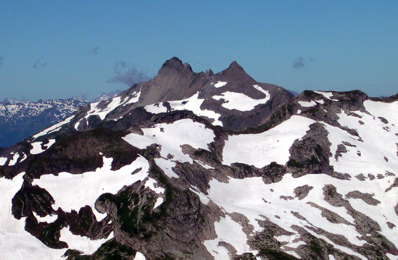
en.wikipedia.org -
The Schwarzhorn, at 2,574 meters above sea level, is Liechtenstein's second highest peak. It is part of the Bernese Alps, which may be found in the Bernese Oberland between Brienz and Grindelwald. The Schwarzhorn is the highest point in the Brienz municipality. A glacier known as Blau Gletscherli may be found on the mountain's north flank.
The view of the neighboring peaks from the Schwarzhorn is breathtaking. The peak may be climbed solo, and a trail on the southern ridge leads to the summit. Hikers and mountain climbers will find lots of hotels, camping grounds, and hostels in Grindelwald, Lauterbrunnen, and Interlaken.
Location: in the Bernese Oberland between Brienz and Grindelwald
Elevation: 2,574 m (8444 ft)
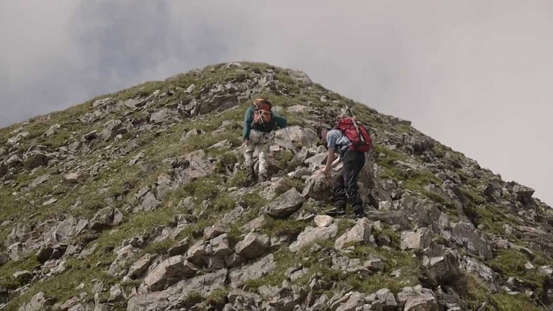
Photo: heimarbeiter's Youtube Channel Video: heimarbeiter's Youtube Channel -
At 2,570 meters, Naafkopf is Liechtenstein's third highest summit. It is part of the Alps' Rätikon range and is on the boundary between Austria, Liechtenstein, and Switzerland. It has three ridges: the northeastern ridge, which marks the Austrian-Liechtenstein boundary, the southeastern ridge, which marks the Swiss-Austrian border, and the southeastern ridge, which descends to 2,292 meters just past the Barthümeljoch. The Swiss-Liechtenstein border is marked by a northwestern ridge that turns southwest after a few hundred meters.
The east face, the south face, and the north face are the three sides of Naafkopf Mountain. The large summit cross can be seen from the usual regular path.
Location: at the border between Austria, Liechtenstein and Switzerland.
Elevation: 2,570 m (8,430 ft)
flickr.com 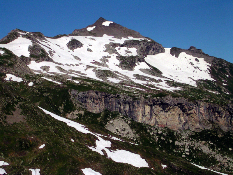
en.wikipedia.org -
Falknis is Liechtenstein's fourth tallest peak, standing at 2,562 meters. It's a mountain in the Alps' Rätikon range, on the boundary between Liechtenstein and Switzerland. Balzers is the closest town to Falknis. Restaurant Falknis in Maienfeld is one of the region's most popular places. It offers lodging as well as traditional cuisine and beverages.
Mazorakopf, Augstenberg, Plasteikopf, Gorfion, Ochsenkopf, and Rappenstein are some of Liechtenstein's other high peaks, with elevations ranging from 2,200 to 2,500 meters.
Location: on the border between Liechtenstein and Switzerland.
Elevation: 2,562 m (8,406 ft)
en.wikipedia.org 
wikidata.org


