Hochwanner

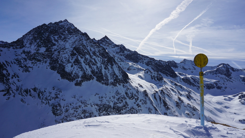
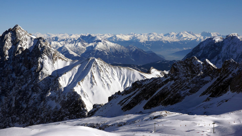
At 2,744 meters, Hochwanner is the tallest mountain on Wetterstein's main ridge. The Rein river, Austria's Leutasch valley, the Gais valley, and the Zugspitze and Karwendel mountains are just a few of the valleys and mountains are seen from this vantage point. It boasts one of the highest rock faces in the Northern limestone Alps, with a drop of around 1,500 meters. Hermann von Barth made the first climb of the Hochwanner in 1870.
Despite being Germany's second-highest peak and possessing one of the highest rock faces in the Northern Limestone Alps a north face that descends roughly 1500 m, the Hochwanner has remained a relatively obscure mountain. This is owing to its inaccessible location, which is shrouded by the Höllentalspitze behind the Alpspitze. The Watzmann, which is more well-known but lower, is sometimes misidentified as Germany's second tallest peak.
The quickest and most direct way to the peak is from the Rotmoosalm (3 hours) or Gatterl. It initially travels over steep grass meadows, subsequently over a brief rock climb (category I on the UIAA scale), and then mostly up steep, arduous scree slopes to the summit, which is pathless in sections or only discernible by a faint trace. Cairns are used sparingly to indicate the path. The north face is a lengthy ascent.
Height: 2,744 meters
Location: The border between Tyrol and Bavaria


