Top 5 Highest Mountains in Germany

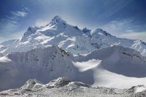
Mountains, lowlands, woods, rivers, islands, and lakes are just a few of Germany's prominent landforms. In the north, the landscape begins at sea level and ... read more...progressively rises until it reaches the mountains in the south. In the south, the Bavarian Alps rise to 2,962 m above sea level, with Zugspitze as its highest mountain. Several more tiny mountain ranges can be found throughout central Germany, particularly in the Thuringian forest and forests. The Ore Mountains are located on the Czech Republic's southern border. These are Germany's tallest mountains.
-
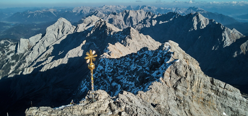
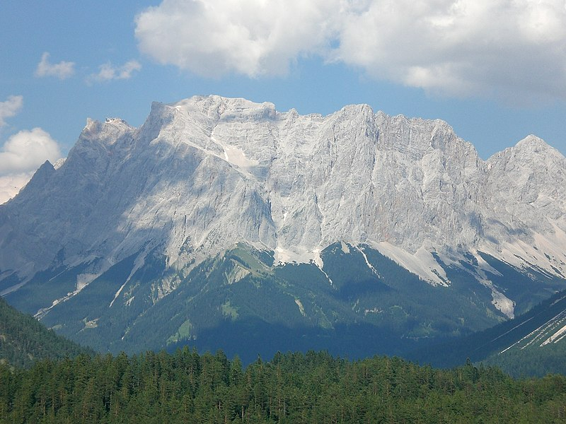
With a height of 2,962 meters, Zugspitze is Germany's tallest summit, it is located on the border of Germany and Austria. The Zugspitze is part of the Limestone Alps of Northern Europe. The eastern, middle, and western summits were once three peaks, but only the eastern top has retained its original form. This peak is completely within German territory.
The center top of Zugspitze was changed when the cable car summit station opened in the 1930s, and the west summit was mechanically blown up to make place for a flight control station. The control station, on the other hand, was never built. Because of the soil conditions at Zugspitze, the flora is not extremely diverse, but the vegetation is highly colorful, especially in the Schachen meadows, the Tieferen Wies near Ehrwald, and the valleys of Höllental, Gaistal, and Leutaschtal. Chamois and marmot habitats abound on the southern slopes of the range. The Zugspitze massif has three of Germany's five major glaciers, including the Höllentalferner and the Southern and Northern Schneeferner peaks.
Height: 2,962 meters
Location: The border of Germany and Austria
zugspitze.de 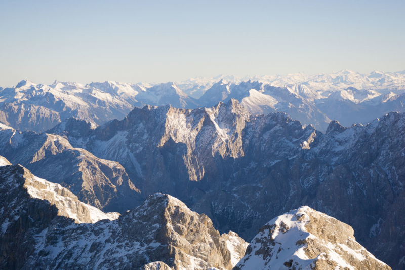
zugspitze.de -
The Schneefernerkopf is a mountain in the Zugspitze range in the Alps that stands at 2,875 meters (9,432 feet). It is located near the western extremity of the Wetterstein range in the Alps, on the boundary between Bavaria, Germany, and Tyrol, Austria. When viewed from Ehrwald, it is the most prominent peak in the Wetterstein.
The Zugspitze ledge, or Zugspitzplatt, is the best place to start climbing the Schneefernerkopf. The trail leads to the Schneefernerscharte by going over or past the rest of the Schneeferner. The 'wind hole (Windloch),' a result of weathering, with a view down onto Ehrwald, may be found here. To reach the summit, the trail follows the Schneefernerkopf Lift, which was decommissioned in 2003 but not dismantled, and climbs the northern shoulder on stairs and through a steep slope with the help of steel cables. It takes slightly under an hour to complete the trek. It's crucial to be sure-footed and have a mind for heights.
Height: 2,874 meters
Location: The border between the German state of Bavaria and the Austrian state of Tyrol
hikr.org 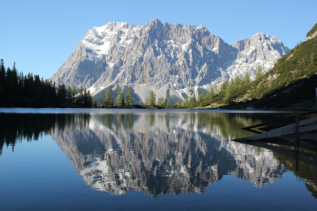
hikr.org -
Holzgauer Wetterspitze is the tallest peak of the Wetterspitze group of the Lechtal Alps, as well as one of the Lechtal Alps' highest summits. It is 2,750 meters tall and is mostly made up of upper Triassic limestone. They are located two kilometers southwest of Germany's highest mountain, the Zugspitze, on the Austrian province of Tyrol's and German state of Bavaria's border. The Wetterspitzen constitutes the southwest side of the Zugspitze ledge (Zugspitzplatt); below and to the east lies the Schneeferner ski area, which includes the Schneefernerhaus research station.
Climbers who can handle the International Climbing and Mountaineering Federation (UIAA) Grades I and II, which are Class 3 and 4 climbs, are drawn to it. In Letchtal, tourist-friendly communities such as Holzgau, Hägerau, and Kaisers have sprung up to welcome hikers. This has had a favorable impact on the region's economy.
Height: 2,750 meters
Location: The border between the Austrian province of Tyrol and the German state of Bavaria
peakvisor.com 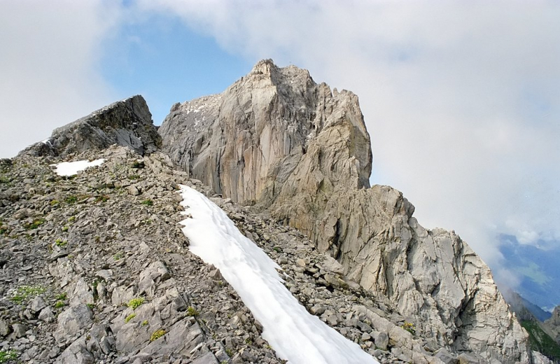
peakvisor.com -
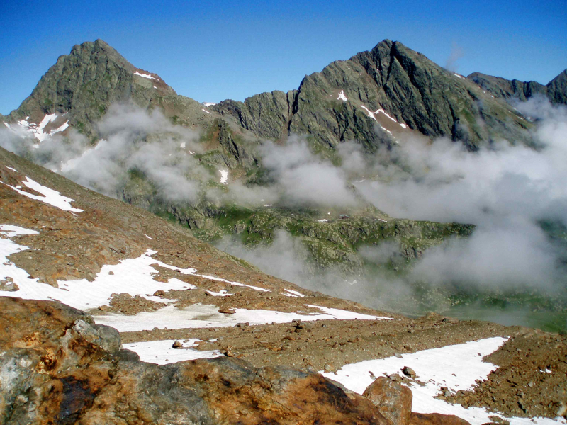
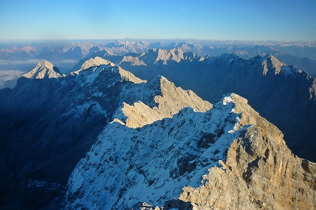
At 2,744 meters, Hochwanner is the tallest mountain on Wetterstein's main ridge. The Rein river, Austria's Leutasch valley, the Gais valley, and the Zugspitze and Karwendel mountains are just a few of the valleys and mountains are seen from this vantage point. It boasts one of the highest rock faces in the Northern limestone Alps, with a drop of around 1,500 meters. Hermann von Barth made the first climb of the Hochwanner in 1870.
Despite being Germany's second-highest peak and possessing one of the highest rock faces in the Northern Limestone Alps a north face that descends roughly 1500 m, the Hochwanner has remained a relatively obscure mountain. This is owing to its inaccessible location, which is shrouded by the Höllentalspitze behind the Alpspitze. The Watzmann, which is more well-known but lower, is sometimes misidentified as Germany's second tallest peak.
The quickest and most direct way to the peak is from the Rotmoosalm (3 hours) or Gatterl. It initially travels over steep grass meadows, subsequently over a brief rock climb (category I on the UIAA scale), and then mostly up steep, arduous scree slopes to the summit, which is pathless in sections or only discernible by a faint trace. Cairns are used sparingly to indicate the path. The north face is a lengthy ascent.
Height: 2,744 meters
Location: The border between Tyrol and Bavaria
almenrausch.at 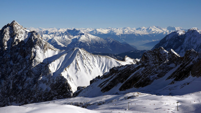
almenrausch.at -
The Höllentalspitzen are three peaks in southern Germany's Wetterstein Mountains, near Garmisch-Partenkirchen. They rise from the Blassenkamm ridge, which extends eastwards from Germany's highest mountain, the Zugspitze, and divide the Hölle Valley from the Reintal Valley. The Inner Höllentalspitze (Innere Höllentalspitze) is the summit closest to the Zugspitze, standing at 2,741 meters (8,993 feet); the main summit, Middle Höllentalspitze (Mittlere Höllentalspitze), stands at 2,743 meters (8,999 feet); and the Outer Höllentalspitze (ußeren Höllentalspitze) stands at 2,720 meters (8,999 feet) (8,920 ft).
Only expert mountaineers can reach the peaks. They are usually approached by traversing the Jubiläumsgrat ("Jubilee Arête") ridge. The Jubigrat, as it is called in mountaineering circles, is a climbing route that leads from the Zugspitze to the Grießkarscharte and then to the Alpspitze via the Höllentalspitzen and Vollkarspitze. It demands a strong knowledge of the UIAA third grade of difficulty. Only the similarly steep Brunntalgrat ridge, which branches off to the south at the summit of the Inner Höllentalspitze and descends to the Knorr Hut in the Reintal Valley, may break up this long traverse. The Höllentalgrat Hut, located between the Middle and Outer Höllentalspitzes, is a tiny, unmanaged bothy for emergencies.
Height: 2,743 meters
Location: Garmisch-Partenkirchen in Southern Germany.
hikr.org 
hikr.org