Hrazdan

With a length of 146 kilometers and a basin size of 2,560 square kilometers, the Hrazdan River is one of Armenia's major rivers. The river travels from the northernmost section of Armenia's Lake Sevan through the Kotayk Province, the capital city of Yerevan, and onto the Ararat plain, where it unites with the Aras River. Hrazdan water is used to irrigate fields and power hydroelectric projects.
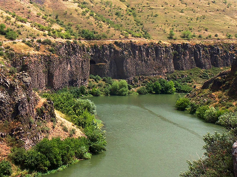
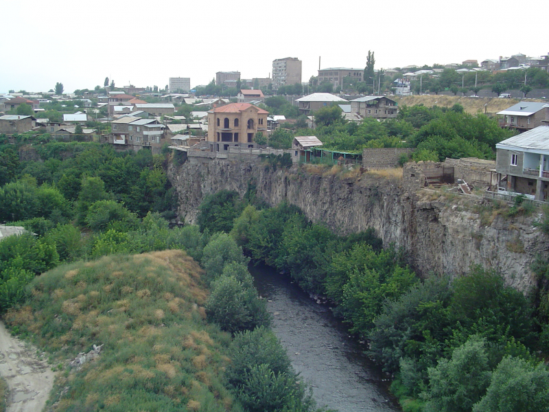
The river flows from a lake at an elevation of 1,900 meters (6,200 ft). The river that runs south from the lake travels through a steep valley as it arrives on the western side of Yerevan and then debauches into the Aras River on the city's southern side. The river's geological formations are made up of lava flows (existing as basalts) created by three volcanoes in the Gegham range. The lava surfaces portray habitats such as "lakes, river channels, and floodplains." The landscape chronology of the uppermost layer of basalts reveals an age of 200,000 years.
Effluent flows from agricultural, commercial, industrial, and residential growth damage the river water, but untreated wastewater from Yerevan is particularly damaging. This has an impact on the river's water quality, with dissolved oxygen (DO) levels (less than 5% of the saturated dissolved oxygen level) lingering far below the allowable limits. According to a 2008 research, a 16-kilometer length of the river, from 2 kilometers upstream of the Yerevan wastewater outfalls to 14 kilometers downstream, is insufficiently aerated to provide a healthy habitat for aquatic life.
Length: 146 km


