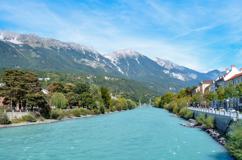
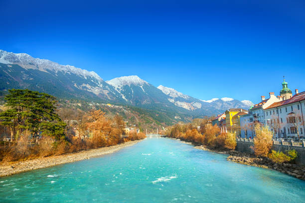
Inn River

The Inn River begins in the Swiss Alps and runs for 317 km. It flows across western Austria and southern Germany to the northeast. Through the state of Bavaria, the Inn enters Germany. The Inn River runs along Bavaria's border and finally drains into the Danube, establishing the German-Austrian boundary. The top of Piz Bernina, at 4,049 meters, is the highest point in its drainage basin (13,284 ft). The Engadine, or En Valley, is the only Swiss valley with water that flows into the Black Sea (via the Danube).
The Inn in Passau discharged 6,820 m3/s (241,000 cu ft/s) on June 3, 2013, and the water levels reached 12.85 m (42.2 ft), the greatest historic flood level since 1501. The historic center of Passau, at the confluence of the Danube, Inn, and Ilz, was seriously flooded. On the Inn, there are currently 24 hydroelectric power units. Verbund AG is in charge of 17 of them.
Length: 518.5 km


