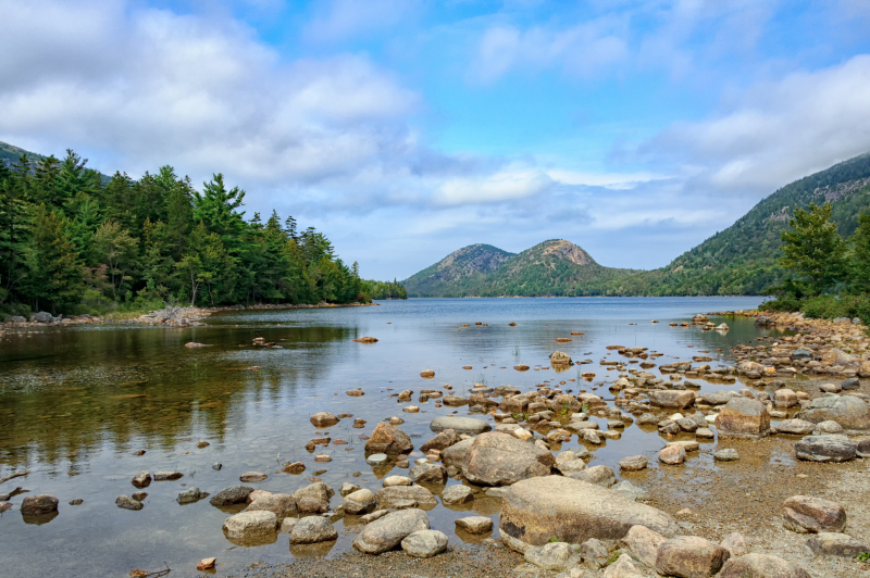
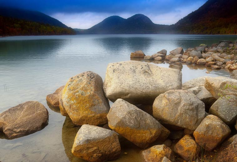
Jordan Pond


An oligotrophic tarn called Jordan Pond can be found in Acadia National Park, close to the Maine town of Bar Harbor. The pond has a surface area of 76 acres, a maximum depth of 46 m, and a 5.8 km shoreline.
The Wisconsin Ice Sheet, which was present during the last glacial period, created the pond. To the west rises Penobscot Mountain, while to the east rises Pemetic Mountain. The Bubbles (North and South), two roche moutonnées, rise above the northeastern beach. A man-made dam and glacial debris restrict the southern end.
The pond's water is clean, with visibility typically 3.4 meters and occasionally up to 18.6 meters, the deepest measurements ever taken in Maine. The pond has high concentrations of dissolved oxygen but low concentrations of plant nutrients and life.
While some forms of boating are allowed, it is not allowed for people or animals to access the water because Seal Harbor's village relies on it for its water supply.
Location: Hancock County, Maine