Top 11 Best Lake To Visit in Maine

The lakes are the ideal summer destination for those who want a place to relax and cool off without descending to cramped beach destinations. In a beautiful ... read more...region like Maine, there is no shortage of beautiful lakes. Let's join Toplist to discover the best lakes Maine!
-
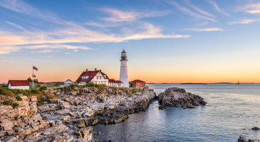
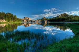
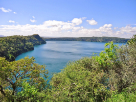
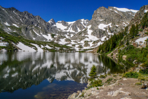
An oligotrophic tarn called Jordan Pond can be found in Acadia National Park, close to the Maine town of Bar Harbor. The pond has a surface area of 76 acres, a maximum depth of 46 m, and a 5.8 km shoreline.
The Wisconsin Ice Sheet, which was present during the last glacial period, created the pond. To the west rises Penobscot Mountain, while to the east rises Pemetic Mountain. The Bubbles (North and South), two roche moutonnées, rise above the northeastern beach. A man-made dam and glacial debris restrict the southern end.
The pond's water is clean, with visibility typically 3.4 meters and occasionally up to 18.6 meters, the deepest measurements ever taken in Maine. The pond has high concentrations of dissolved oxygen but low concentrations of plant nutrients and life.
While some forms of boating are allowed, it is not allowed for people or animals to access the water because Seal Harbor's village relies on it for its water supply.Location: Hancock County, Maine
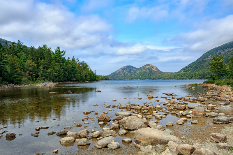
Photo: wikipedia 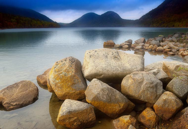
Photo: jordanpondhouse.com -
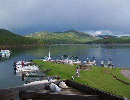
Moosehead Lake is known as the deep cold water of Northwestern Maine's Piscataquis County. The largest mountain lake in the eastern United States, it is also the second-largest lake in New England. The lake is the source of the Kennebec River and is located in the largely uninhabited Longfellow Mountains. A number of rural Townships near the lake. Greenville, which features a sizeable downtown area with banks, stores, and restaurants, is by far the biggest town on the lake. The lake contains more than 80 islands, with Sugar Island being the largest and Deer Island, which is located to the west, being the second-largest.
From early American Indians (Red Paint People) to later tribes seeking its rhyolite to make stone tools, Penobscots and Norridgewocks, the Abenaki bands who fought here with their enemy the Mohawks, to 19th-century "rusticators" traveling by railroad and steamboat, and today's hotel guests, Mount Kineo has drawn visitors for centuries. Peregrine falcons, unique plants, and other animals can be found living among its cliffs and talus slopes.
Location: Northwest Piscataquis, Maine, United States
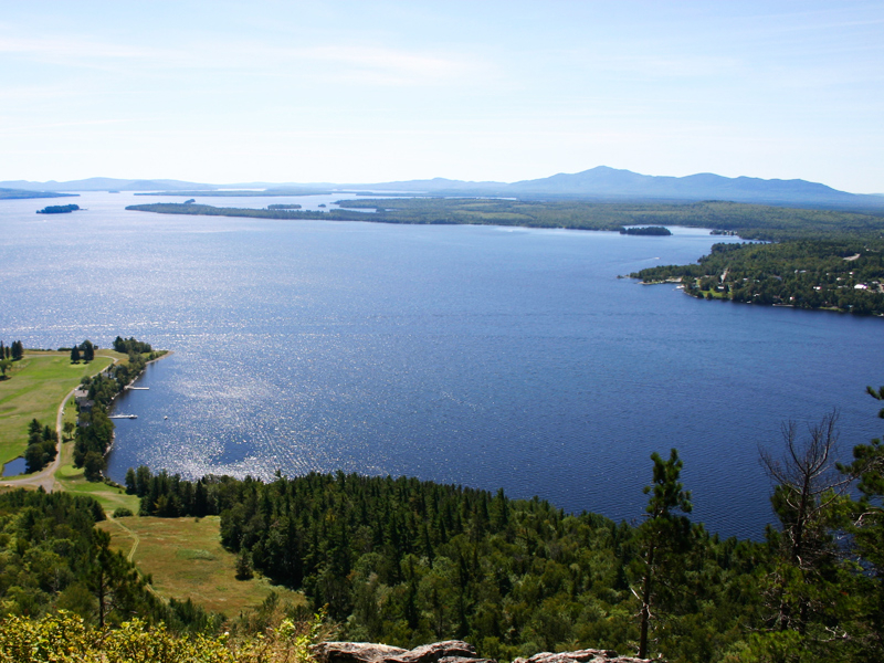
Photo: visitmaine.com 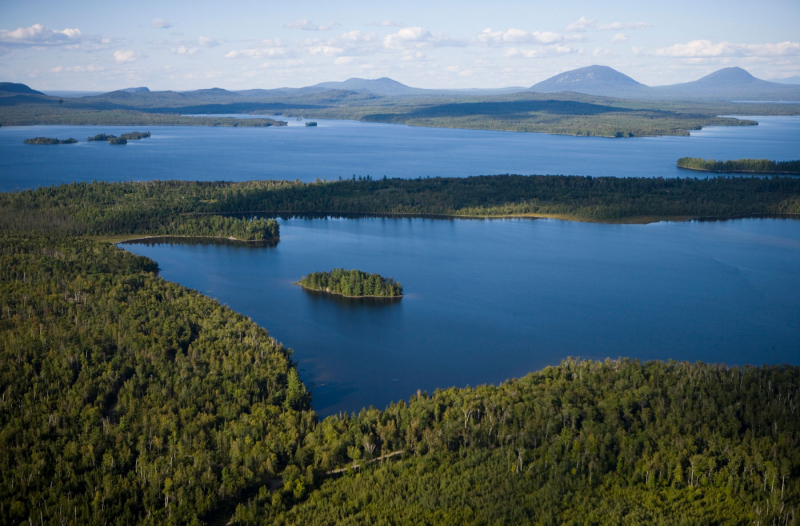
Photo: nrcm.org -
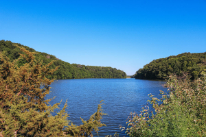
Flagstaff Lake is situated in the American state of Maine, Somerset County, and Franklin County. The Dead River is formed by the union of the North Branch and South Branch Dead Rivers in the lake.
A total of 275,482 acre-feet of water may be stored in the lake, which has a surface area of 20,300 acres (82 km2). It is quite thin. Salmon and brook trout that are landlocked can be caught. The lake has some very marshy places that must be navigated by canoe or kayak; even then, wading may be required to pass through the marshy areas and reach other parts of the lake.The southern bank of the lake provides views of the Bigelow Mountain Range, making it a popular destination for outdoor sports. Kayaking is best on the lake because it is largely undeveloped and has few vessels. This lake is one of the best lakes to visit in Maine, US.
Location: Eustis, Franklin County, Maine, US
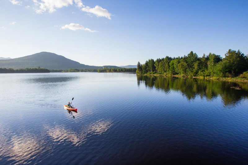
Photo: mainesnorthwesternmountains.com 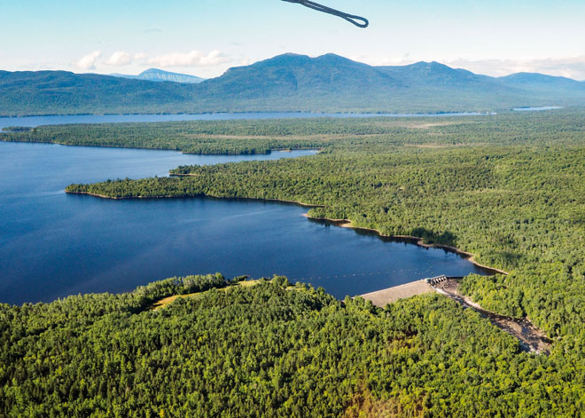
Photo: themainemag.com -
In the American state of Maine, Sebago Lake is the second-largest and deepest lake. The lake has a maximum depth of 316 feet (96 meters) and a mean depth of 101 feet (31 m). Sebago may be the deepest lake entirely enclosed within the New England region, despite some sources claiming that Lake Willoughby in Vermont is somewhat deeper.
Sebago has a surface area of around 45 square miles (117 km2), is 14 miles (23 km) long, and has a shoreline that extends for about 105 miles (169 km). The deep bottom is below the current sea level because the surface is about 270 feet (82 m) above sea level. Its neighbors include the towns of Casco, Naples, Raymond, Sebago, Standish, and Windham. It is located in Cumberland County.
The lake island where Frye Island, a seasonal settlement, is located. Due to its proximity to the Atlantic Ocean and Mt. Washington, a well-known hotspot for extreme weather, Sebago Lake and the surrounding area are renowned for their unpredictable and rapid variations in weather throughout the year. The Abenaki word sobagoo, which means "it is the sea" or "it resembles the sea," is where the name originates.
Location: Cumberland County, Maine
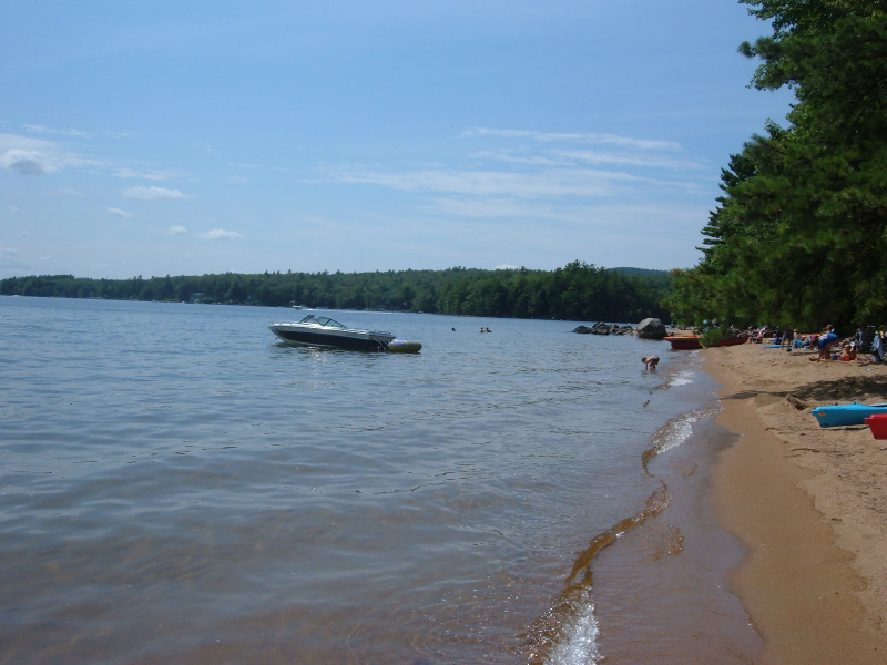
Photo: wikipedia 
Photo: tripadvisor.com -
Several streams feed into Rangeley Lake, which is situated in Franklin County, Maine, in the United States. Its waters eventually drain from the northwest corner of the lake into Mooselookmeguntic Lake, Upper and Lower Richardson Lakes, Umbagog Lake, Merrymeeting Bay, the lower Kennebec River, the Gulf of Maine, and the Atlantic Ocean via the short Rangeley River.
The lake is one of the Androscoggin watershed's main headwater lakes. Its area is roughly 10 square miles, and its elevation is 1,518 feet (463 m) above sea level (26 km2). The lake's depth is shallow close to the shore but averages 95 feet (29 meters) deep in the center. The deepest point is 149 feet (45 m).
The southern margin of the lake is in Rangeley Plantation, which is not a part of the town of Rangeley. Rangeley is a village on Rangeley Lake's northeastern side at City Cove, while Oquossoc is a village at the lake's outlet at its northwest end. Rangeley Lake's eastern shore is where Maneskootuk Island is located. A small series of islands known as the South Bog Islands are located in the western section.
Location: Franklin County, Maine
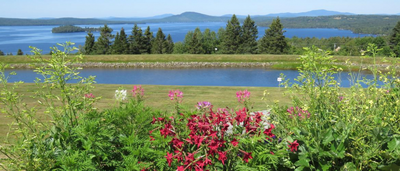
Photo: rangeleymaine.com 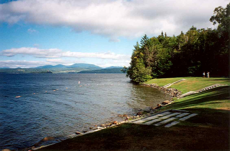
Photo: wikipedia -
Mooselookmeguntic Lake is situated in the American state of Maine, Franklin County and Oxford County. It is a part of the watershed of the Androscoggin River. It is situated in the western region of Maine, close to the Canadian provinces of Quebec and New Hampshire. The Appalachian Trail is only a few miles away from the lake.
Water for Mooselookmeguntic Lake comes from a number of sources. The northern portion of Mooselookmeguntic Lake is directly connected to Cupsuptic Lake, which receives water from the Cupsuptic River. Both the Rangeley River and the Kennebago River empty into Mooselookmeguntic Lake in the northeast.
The lake's waters discharge into Upper Richardson Lake in the southeast. Between the two lakes, there is a structure called the "Upper Dam." The dam caused Cupsuptic Lake to merge with Mooselookmeguntic Lake, creating a reservoir, by raising the level of the latter by around 14 feet. Before the dam was constructed, the two lakes were distinct.
Location: Franklin / Oxford counties, Maine, United States
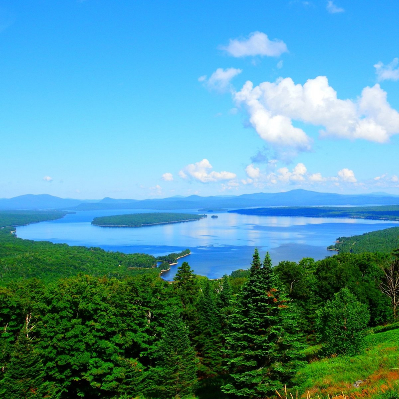
Photo: tripadvisor.com 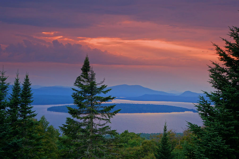
Photo: pixels.com -
Lake Cobbosseecontee also referred to as Cobbossee Lake, is a body of water that can be found in the Maine communities of Litchfield, Manchester, Monmouth, West Gardiner, and Winthrop. With a depth of 30 m, a length of 14 km, and a shoreline of 100 km, it is the largest lake in the Winthrop Lakes Region. Its surface area is roughly 23 km2, and its length is 14 km. Cobbosseecontee is a Wabanaki term that means "lots of sturgeon".
The gorgeously uneven shape of Lake Cobbosseecontee, which is made up of various glacial coves, jetties, and islands, is well known. Additionally, it is home to Maine's sole operational inland waters lighthouse, Ladies' Delight Light. The Cobbosseecontee Yacht Club owns and maintains the 1908-built, 25-foot (7.6 m) high lighthouse.
Due largely to its tremendous largemouth population, the lake is widely regarded as one of the best bass fishing lakes in America. Cobbosseecontee is home to many of Maine's largest and most aggressive bass. Cobbosseecontee is home to numerous other popular fish species, such as bullheads, sunfish, crappie, rainbow smelt, white perch, yellow perch, brook trout, brown trout, and white perch. Cobbosseecontee's numerous islands, coves, and ledges are prime locations for casting or slowly trolling for bass.
Location: Kennebec County, Maine
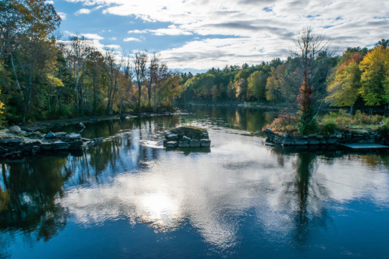
Photo: onlyinyourstate.com 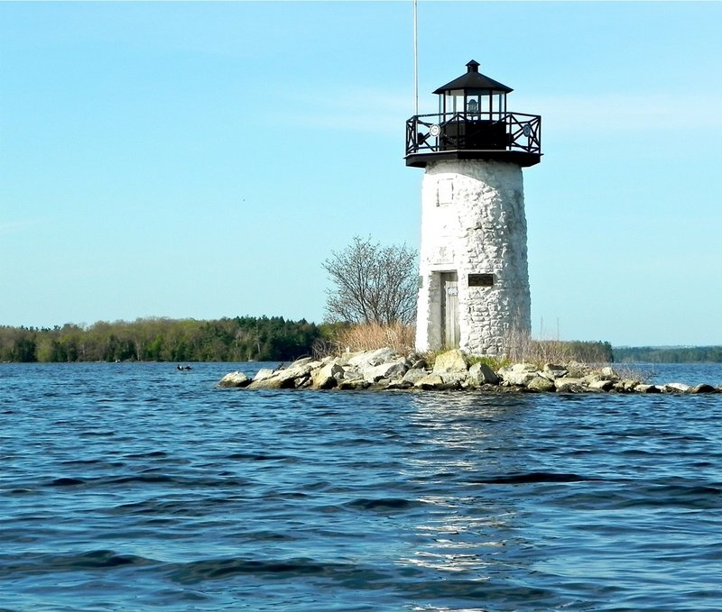
Photo: pressherald.com -
One of the best lakes to visit in Maine is Webb Lake. Despite not being a particularly huge lake, Webb Lake is breathtakingly gorgeous, especially against the backdrop of Mount Blue and other peaks. Outdoor enthusiasts frequently visit the 868-acre lake.
There is a boat launch in Mount Blue State Park that is open to the public, and Webb Lake boasts a variety of fish, including brook trout. Brown trout, smallmouth bass, white perch, and chain pickerel are the main fish species in the lake. Given the moderate temperatures and low levels of dissolved oxygen, the water quality is only fair for coldwater fish.
The Kawanhee Inn and Camp Kawanhee for Boys are located in Lake Webb. At the lake's head, it also serves as the location of Camp Lawroweld. The lake's major attraction is Mount Blue State Park, a leisure area that is located along the lake's western side. Camping, hiking, water skiing, riding horses, and swimming are all permitted nearby.
Location: Weld, Franklin County, Maine, United States
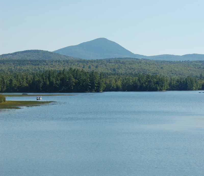
Photo: wikipedia Video: Gregg Towsley -
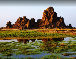
Between the Canadian province of New Brunswick and the American state of Maine is where East Grand Lake is situated. The lake forms part of the border between the US and Canada. It is located in two counties in Maine, Washington and Aroostook, and it marks York County's western boundary in New Brunswick.
The Chiputneticook chain of lakes, which also includes Spednic, North, and Palfrey and serves as the source of the St. Croix River, includes the lake in question. They were formerly known as the Shoodic Lakes.
East Grand Lake is well-known for its excellent fishing and stunning scenery. The lake measures 4 miles (6 km) in width at its widest point and 22 miles (35 km) in length overall. The lake has a maximum depth of 128 feet (39 m).
On East Grand Lake, fishing is a particularly popular sport. Landlocked salmon, lake trout, yellow and white perch, smallmouth bass, American eels, brook trout, and many other species can be found in the lake.Location: between the U.S. state of Maine and the Canadian province of New Brunswick
Photo: openspaceinstitute.org 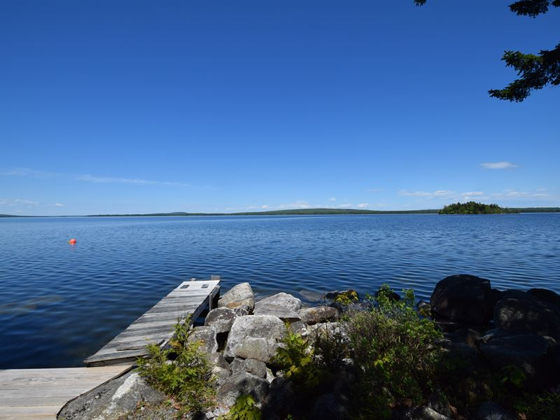
Photo: landflip.com -
Millinocket Lake is located nine miles west of Millinocket, a former paper-mill town in central Maine (not to be confused with the much more remote Lake Millinocket, just north of Baxter State Park). The lake body is unusually devoid of coastal construction and affords breathtaking vistas of Mount Katahdin to the northwest. It is almost completely undeveloped.
Even at the height of summer, there is little boat traffic, which adds to the lake's tranquility and makes it a wonderful place to go kayaking and canoeing. The lake's two isolated sandy beaches on the northeast shore are a noteworthy aspect. These locations are perfect for swimming and seaside picnics because they can only be reached by boat.
Twin Pines Cottages, a collection of cozy, spotless, and opulent housekeeping cabins that sleep anywhere between 4 and 6 people, is an excellent place to stay on Millinocket. Twin Pines, a great location for family reunions, is situated on the southern edge of Millinocket and features fire pits, outdoor grills, volleyball nets, powerboat and kayak rentals, a sauna, and an on-site restaurant. Given that the Cabins are operated by the New England Outdoor Center, a significant rafting and paddling outfitter, many guests utilize them as a basecamp for whitewater.
Location: Piscataquis County, Maine
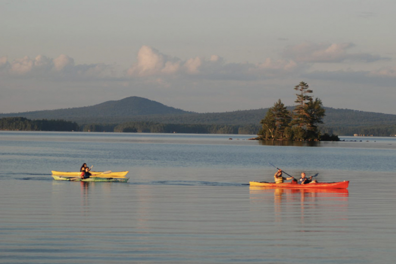
Photo: explorenewengland.tv 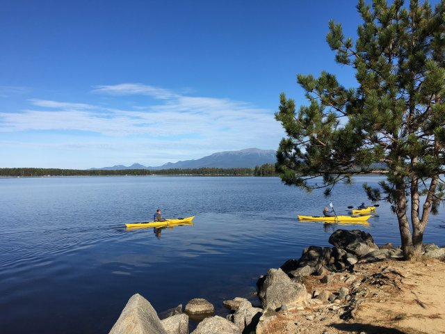
Photo: epa.gov -
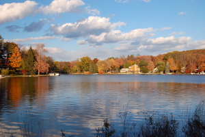
One of the best lakes to visit is Trickey Pond. It can go down as deep as 55 feet (17 m). The pond's water clarity is remarkably good due to the absence of significant pollution in the vicinity. The majority of the pond's depth is visible at any given location.
Between Sebago Cove (an arm of Sebago Lake) and Brandy Pond, both near Naples, is Trickey Pond. Although the pond has no discernible inlets and the outlet to Sebago Cove flows continually, Trickey is likely home to some active springs. There are two entryways: one on the southern and one on the northern end. In addition, Camp Skylemar, a summer camp for boys, is located at Trickey Pond. A giant inflatable iceberg, swimming lanes, waterskiing, wakeboarding, kayaking, and canoeing are all available on the camp's shoreline. There are also two sand beaches, three boat docks, and chances for canoeing, kayaking, and fishing at the lone campground on Trickey Pond, Loon's Haven Family Campground.
Location: Cumberland County, Maine
Photo: wikipedia 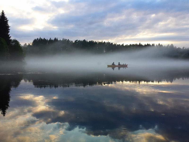
Photo: trickeypond.org