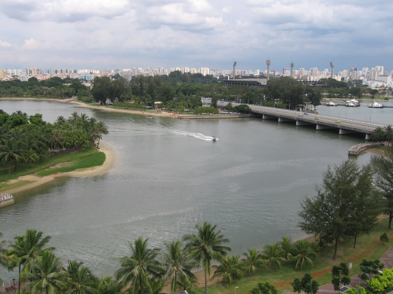
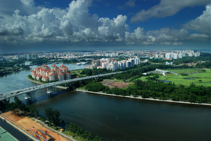
Kallang River


The Kallang River flows for 10 kilometers from the Lower Peirce Reservoir (formerly titled "Kallang River Reservoir") to the Kallang Basin, making it Singapore's longest river. Its source is in the Central Water Catchment planning region, and it runs southeast via Bishan and Toa Payoh before reaching at Kallang.
The Kallang River used to discharge into the Singapore Straits at the Kallang Basin, near where Merdeka Bridge now stands, prior to major land reclamation along Singapore's southeastern shore. The Marina Channel now connects the Kallang River to the open sea. Sungei Whampoa, the Pelton Canal, and the Bukit Timah Second Diversion Canal are all tributaries of the Kallang River. The Geylang River and the Rochor River, in addition to the Kallang River, empty into the Kallang Basin. As a result of the Marina Barrage, all of the aforementioned streams have become part of the Marina Reservoir.
The Park Connector Network's (PCN) Kallang Park Connector runs roughly parallel to the Kallang River, providing a stretch of recreational area along the water's edge. Near the river's mouth, the Kallang Riverside Park crosses both banks of the Kallang River. It is one of the longest rivers in Singapore.
Length: 10 km