Kelantan River

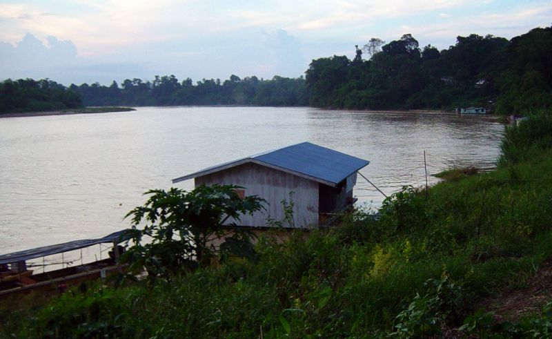
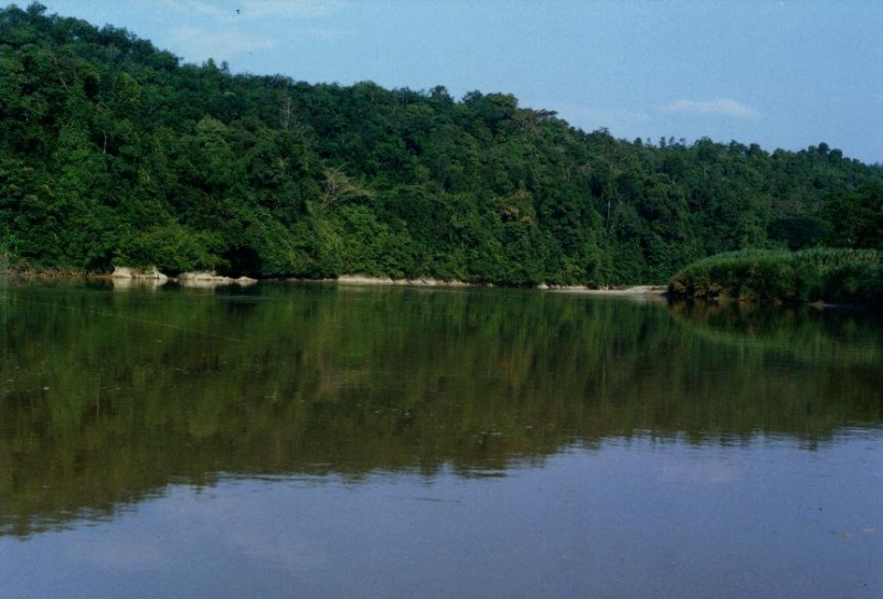
The Kelantan River is the main river in the Malaysian state of Kelantan. It flows northwards into the South China Sea after draining a catchment area of around 11900 km2 in north-east Malaysia, including part of the Taman Negara National Park. The area receives 0 mm of rain during the dry season (March–May) and 1750 mm during the monsoon season (November–January). The area's typical discharge is around 500 m3/s.
Many Orang Asli tribes live in the Gua Musang region of southern Kelantan, where the river tributaries spring in the forested mountains. The limestone outcrops and caverns in the area are well-known. Some cave systems around the River Nenggeri area, such as Gua Cha near Kuala Betis, reveal signs of habitation dating back to 9000 years ago.
Lower down, Malay settlements dot the banks of the river, which runs through one of the Malay Peninsula's most heavily populated flood plains, with padi farms that provide roughly 12% of Malaysia's rice production.
From south to north, the river passes through seven key towns: Kuala Krai, Tanah Merah, Machang, Pasir Mas, Tumpat, the state capital Kota Bharu, and Pengkalan Chepa, which is at the river's mouth. There are various islands in the river near the estuary.
The Kuala Besar area around the real estuary is filled with lovely fishing towns that are particularly widely renowned for the manufacturing of batik (a local patterned textile made by waxing and dyeing cloth), for which Kelantan is recognized. The mouth of the Kelantan River is also significant for being the location of the initial landing of Japanese troops in Malaya in December 1941.
Length: 248 km (154 mi)


