Kunar


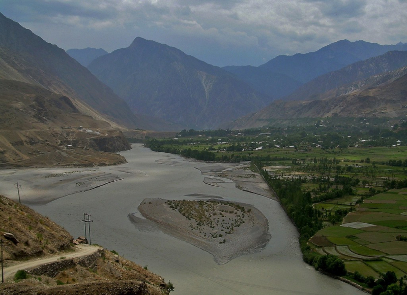
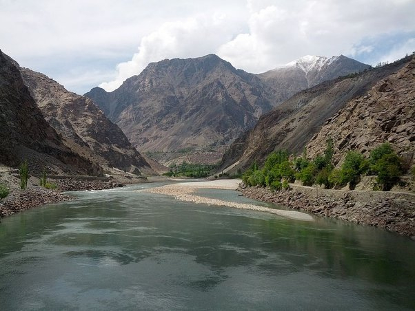
The Kūnaṛ River, also known as the Mastuj, Chitral, or Kama River in its upper stages, is roughly 480 kilometers (300 miles) long and is located in eastern Afghanistan (Nuristan, Kunar, and Nangarhar) and northern Pakistan (Khyber Pakhtunkhwa). It emerges immediately south of the Broghil Pass, in the upper section of Khyber Pakhtunkhwa's Chitral District, near the Afghan border. The melting glaciers and snow of the Hindu Kush mountains feed the river system. The Kunar River is a tributary of the Kabul River, which is a branch of the Indus River.
The river originates in Pakistan's far north glaciated Hindu Kush mountains of Chitral, Khyber Pakhtunkhwa. From the village of Mastuj downstream until its confluence with the Lotkoh River just north of the key regional capital of Chitral, it is known as the "Mastuj River." It is then known as the "Chitral River" before flowing south into Afghanistan's upper Kunar Valley. It meets the Pech River at Asadabad, originally Chaga Sarai, and eventually drains into the Kabul River just east of the Afghan city of Jalalabad. The united rivers then flow eastward into Pakistan, roughly following the Grand Trunk Road via the Khyber Pass until rejoining the Indus River near the city of Attock.
Total Length: 298 miles